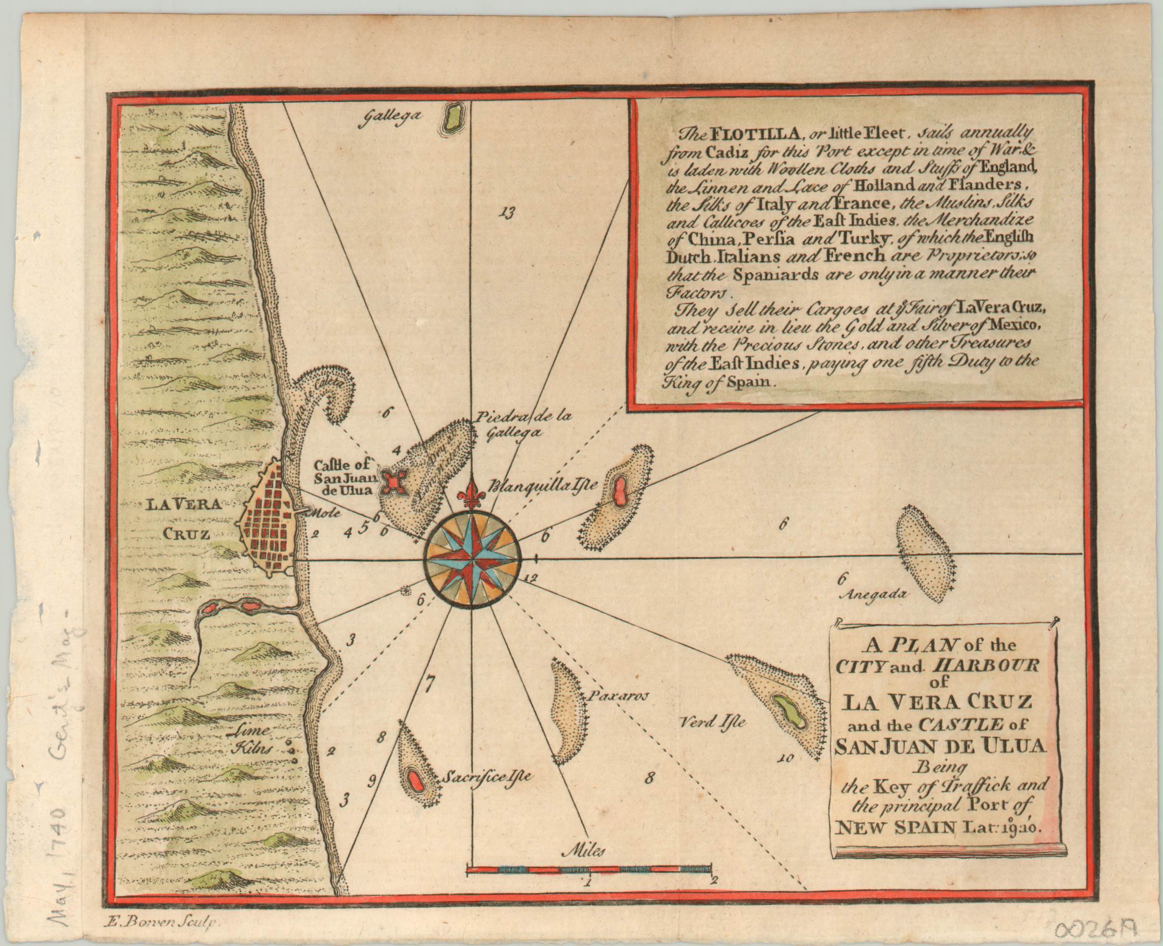
A Plan of the City and Harbour of La Vera Cruz and the Castle of San Juan de Ulua
$125.00
A small harbor plan of Veracruz published during the War of Jenkins’ Ear.
1 in stock
Description
This lovely little plan of the city and harbor of Veracruz, Mexico was engraved by Emanuel Bowen and published in the May, 1740 of London’s Gentleman’s Magazine. It shows the fortified defenses of Castle San Juan de Ulua on a small island off the coast; as well as navigational hazards, depth soundings, and a series of lime kilns located outside of the city. Accompanying text in the upper right corner provides details on the annual flotilla of treasure galleons that depart from Cadiz and exchange European and Asian goods for gold and silver from New Spain.
The map was issued during a period of conflict between British and Spanish interests in the Caribbean known as the War of Jenkins’ Ear. Named after an English captain who had his eat cut off by an impetuous Spaniard, the war was driven primarily by economic motivations.
In addition to capturing a larger share of the lucrative West Indies market, Britain also wanted to ensure Spain honored the Asiento de Negros contract. This monopoly, issued to various European powers across the years, allowed for the legal transportation of slaves to colonies in the Spanish Americas. Britain had been granted the monopoly at the 1713 Treaty of Utrecht, but would lose it after the ongoing War of Jenkins’ Ear evolved into the broader War of the Austrian Succession.
Map Details
Publication Date: 1740
Author: Emanuel Bowen
Sheet Width (in): 7.50
Sheet Height (in): 6.00
Condition: A-
Condition Description: Slight discoloration along the upper margin and the left and lower edges of the sheet are a bit uneven. Very good overall, with attractive hand color.
$125.00
1 in stock

