
A Pictorial Map of the United States of America Showing Principal Regional Resources, Products, and Natural Features
A postwar ‘Picture Map of the United States’, sponsored by the rapidly growing oil industry.
Out of stock

Description
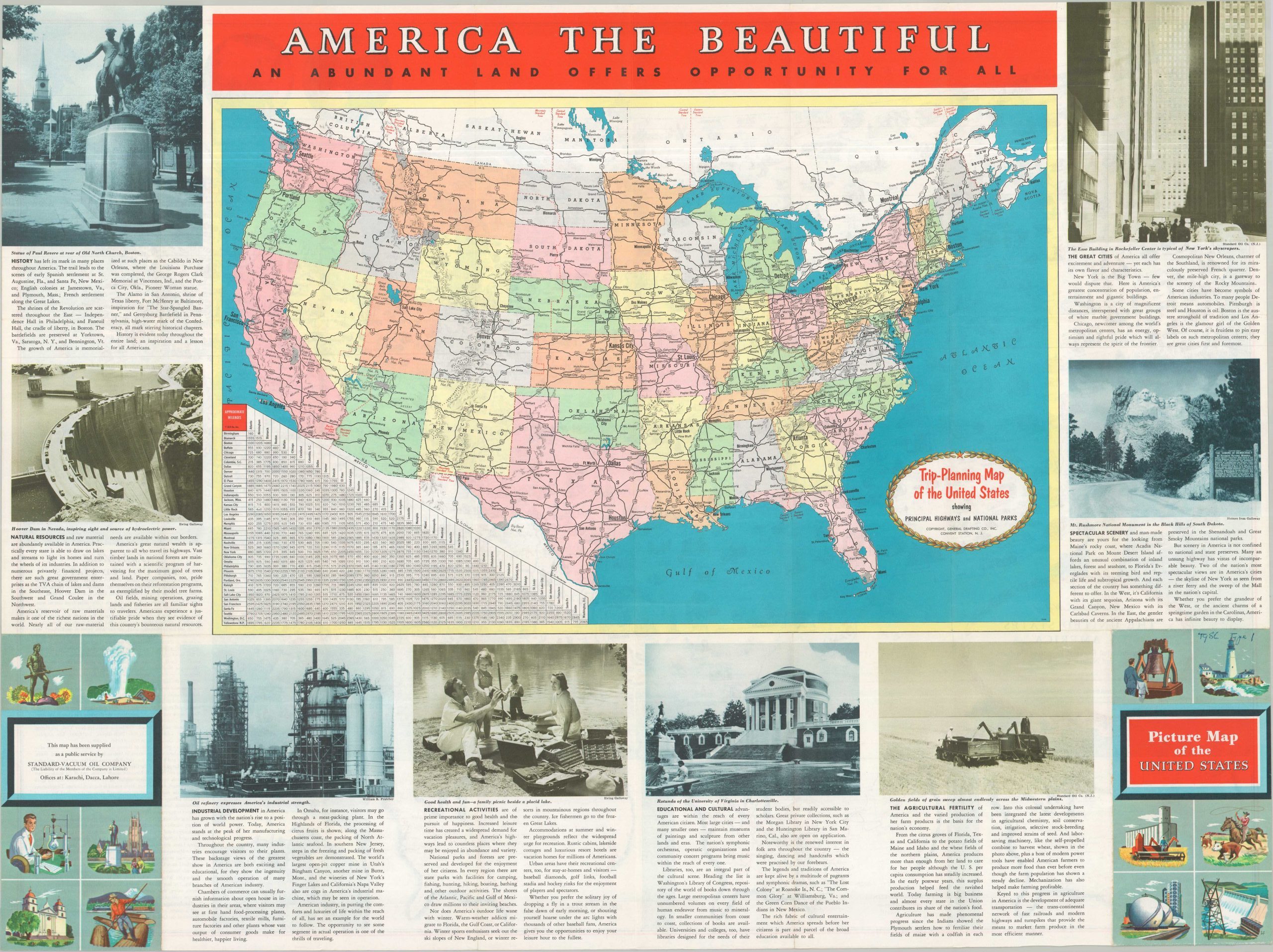
This pictorial map of the United States was designed by General Drafting Company, Inc., of Convent Station, New Jersey, around 1952. Publication was sponsored by Standard-Vacuum Oil Company, with offices noted in Karachi, Dacca, and Lahore. A straightforward map of the continental United States is dotted with dozens of illustrated vignettes depicting the nation’s agriculture, industry, history, culture, and natural beauty. Together, these images present an optimistic portrait of American prosperity and national identity in the early postwar years.
Three insets in the lower left detail the country’s principal oil pipelines, producing regions, and refineries. The verso features a Trip-Planning Map of the United States Showing Principal Highways and National Parks, connecting the map’s petroleum-industry focus with the growing importance of automobile tourism. By the early 1950s, expanding highway networks, roadside services, and rising automobile ownership were helping reshape American travel, with oil companies like Standard-Vacuum well positioned to benefit from the trend.
Map Details
Publication Date: c. 1953
Author: General Drafting Company, Inc.
Sheet Width (in): 32.00
Sheet Height (in): 23.75
Condition: A-
Condition Description: Double-sided color printed map, creased along original folds and showing penned markings on the front cover. Very good condition overall.
Out of stock