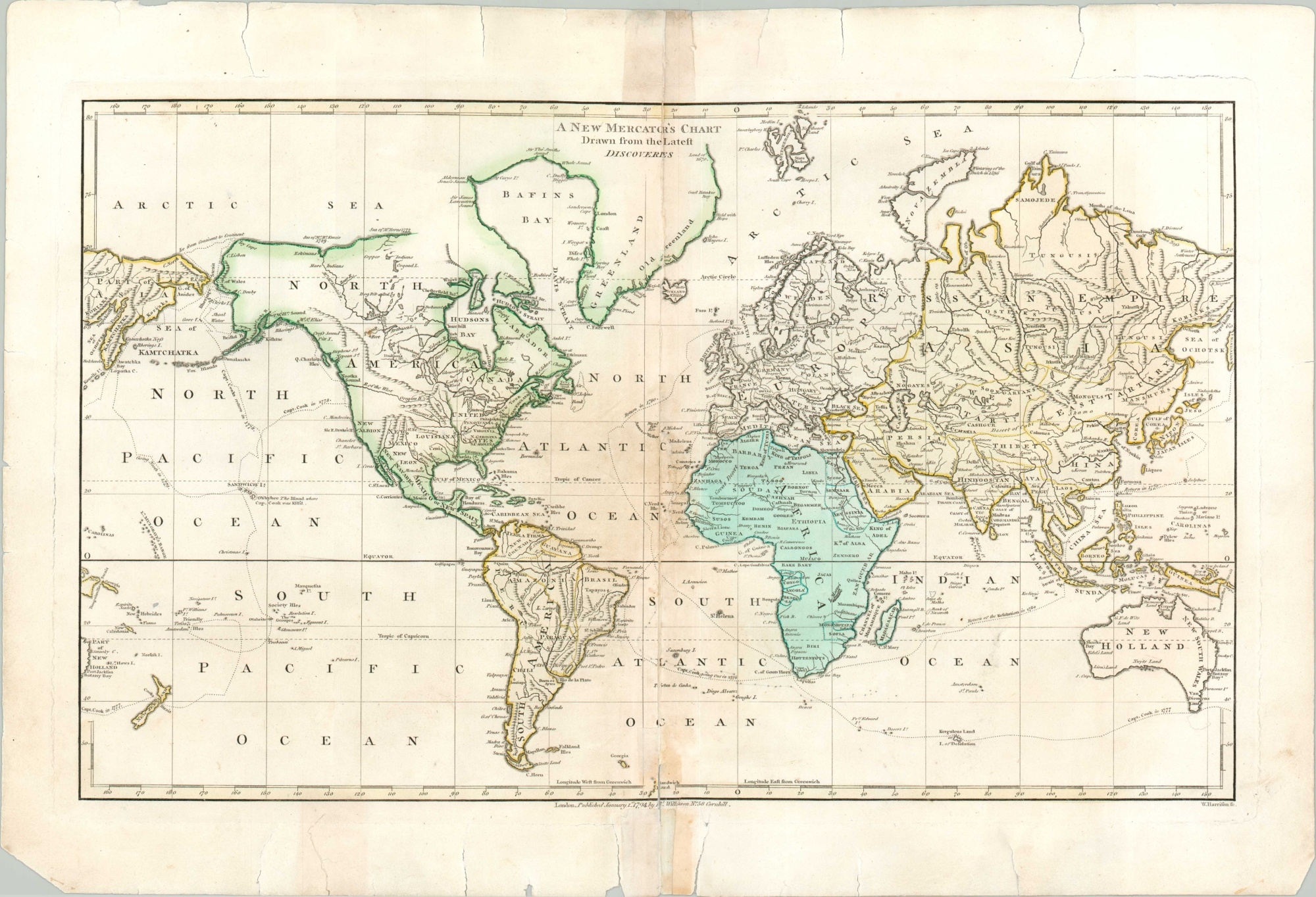
A New Mercator’s Chart Drawn from the Latest Discoveries
$150.00
The late 18th century world.
1 in stock
Description
This copperplate engraved map of the world on Mercator’s projection was published in London by Robert Wilkinson in early 1794. The image presents a wonderful overview of contemporary geographic understanding in the West and shows the latest discoveries made on a variety of voyages of exploration.
Cook’s voyages are prominently shown, though expeditions by Russians, Spanish, and French adventurers are also reflected in place names, border lines, and geographic features. Of particular interest are mythical possibilities for a Northwest Passage, the legendary ‘River of the West’, and phantom islands in both the Atlantic and Pacific Oceans.
Map Details
Publication Date: 1794
Author: Robert Wilkinson
Sheet Width (in): 19.40
Sheet Height (in): 13
Condition: C
Condition Description: Sheet has separated entirely along the vertical centerfold, now re-attached and repaired with archival tape. Paper curling and minor image loss remain. Numerous tears along the outer edges have been repaired on the verso with archival tape. Fair condition overall, with nice color.
$150.00
1 in stock

