
A New Map of the Netherlands
$200.00
The Netherlands under the First French Empire.
1 in stock
Description
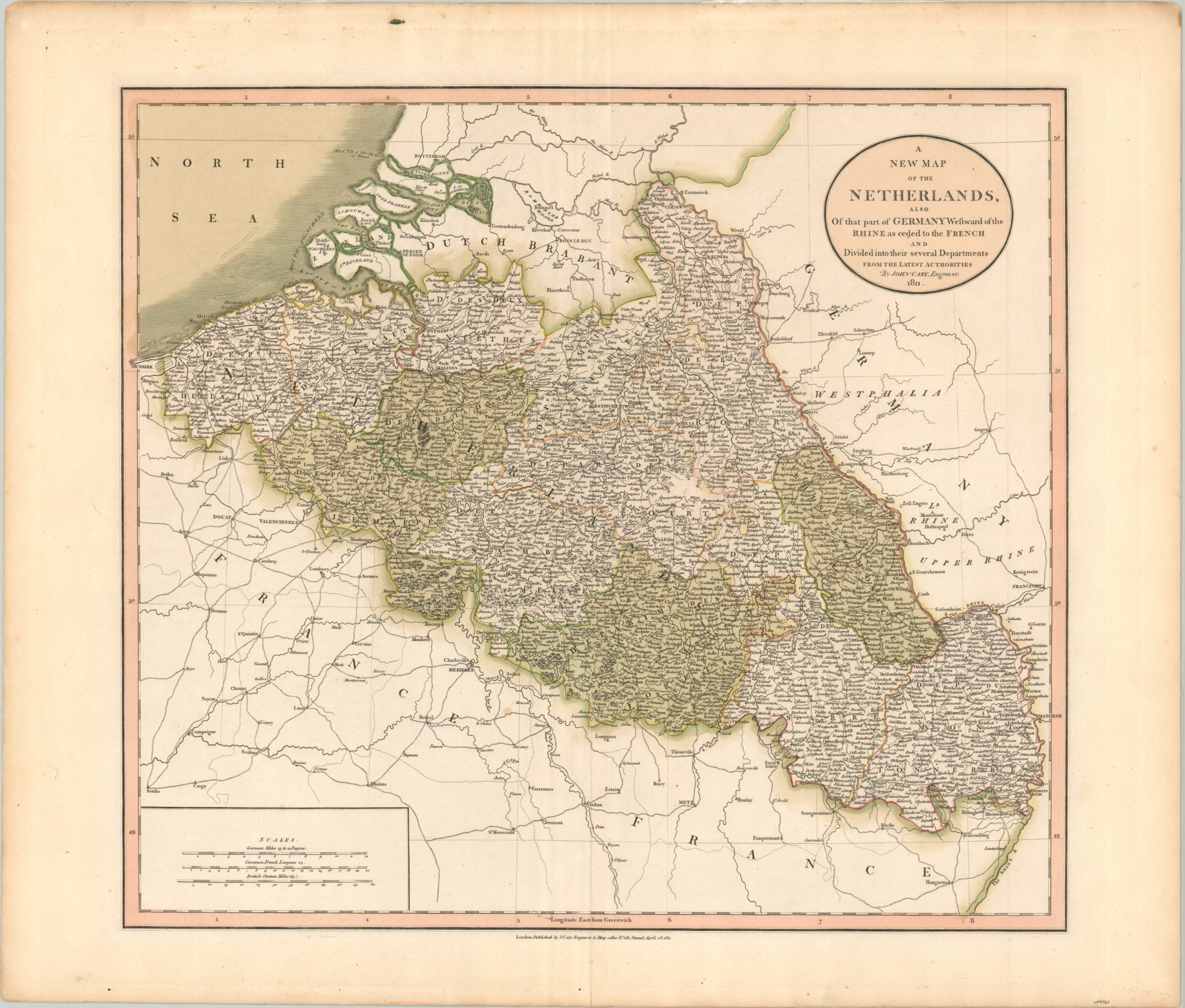
This intricately engraved map of the Netherlands was published in London by John Cary in 1811. Just the year prior to publication, the short-lived Kingdom of Holland under Louis Bonaparte, the brother of Napoleon, was dissolved and the region was added to the immense territory under control of the First French Empire.
The image includes lands south of the Rhine River ceded by German and Dutch states and the original hand color distinguishes between the various French departments. The map shows a densely settled region connected by a robust network of roads and canals. Groves of forests are depicted pictorially and an interesting group of toponyms names a variety of different places like cities, royal hunting lodges, forts, monasteries, etc.
The Napoleonic Kingdom of Holland was short-lived, but in the aftermath of Napoleon’s fall, the precedent of the Netherlands having been a Kingdom facilitated the House of Orange’s successful efforts to upgrade themselves from the rank of stadtholder to being fully-fledged monarchs.
Map Details
Publication Date: 1811
Author: John Cary
Sheet Width (in): 24.75
Sheet Height (in): 21
Condition: A-
Condition Description: A bit of extraneous wrinkling in the sheet parallel to the vertical centerfold. Some light spotting visible in the margins and a few areas within the image. Overall in very good condition. A crisp impression on a strong sheet with original hand color.
$200.00
1 in stock