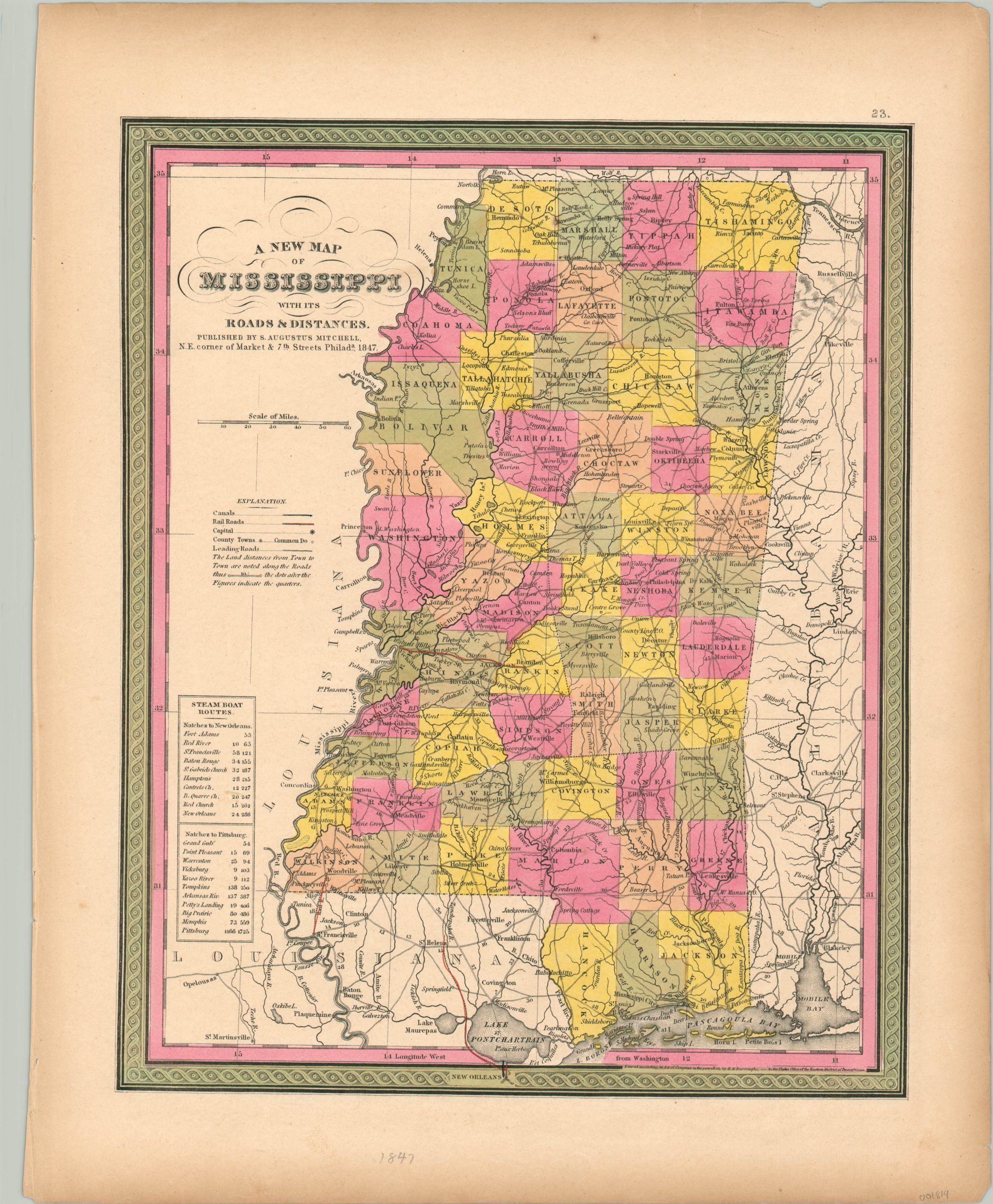
A New Map of Mississippi with its Roads and Distances
Early transportation map of Mississippi published by an important American cartographer.
Out of stock
Description
This attractive hand-colored map of Mississippi shows the various transportation routes available to an intrepid traveler in the mid-19th century. Stagecoach roads are shown connecting the majority of the settlements across the state, with distances helpfully provided between each stop. However, only a handful of short-line railroads were in operation at the time of publication (highlighted in red).
The river was an obvious choice for moving people and goods, and steamboat routes are shown from Natchez to New Orleans and Pittsburgh, with each stop and distance listed. Published in Philadelphia by Samuel Augustus Mitchell in 1847.
Map Details
Publication Date: 1847
Author: Samuel Augustus Mitchell
Sheet Width (in): 13.90
Sheet Height (in): 17.00
Condition: A-
Condition Description: The outer edges are slightly toned, consistent with age, and feature a few small spots of foxing. Two dark spots within the image, otherwise the map is in near fine condition. Original hand color.
Out of stock

