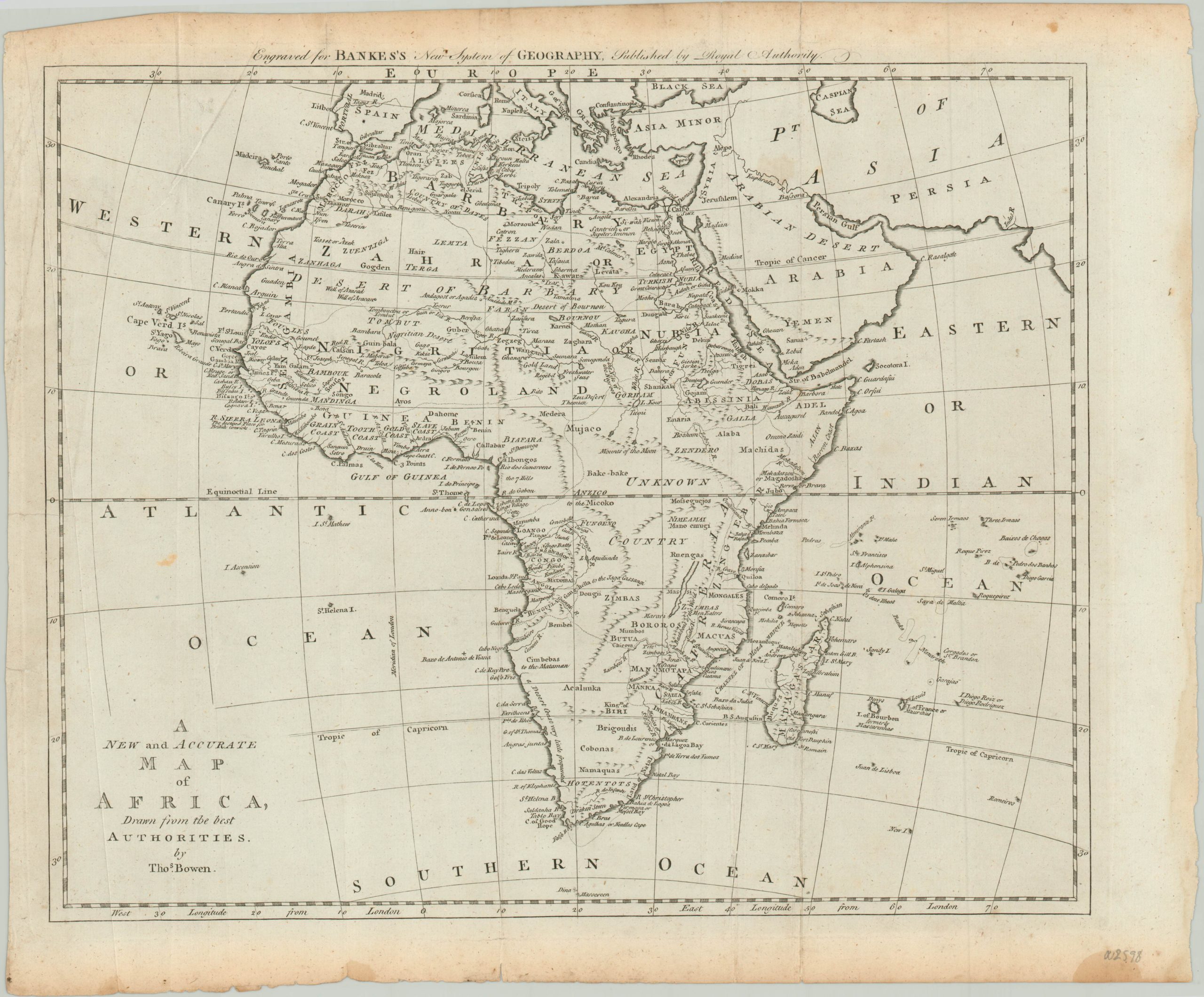
A New and Accurate Map of Africa, Drawn from the Best Authorities
$210.00
Interesting map of the continent of Africa published near the end of the 18th century.
1 in stock
Description
This map of Africa, allegedly drawn ‘from the best authorities’, presents a continental geography that had been established much earlier in the century. The lines engraved by Thomas Bowen around 1789 present an image that’s very similar other maps issued by Herman Moll, John Lodge, and other prominent London cartographers in prior decades.
African ‘kingdoms’ are approximately outlined in a style reminiscent of European powers, but completely unrepresentative of the reality of local ruling authorities. Important economic exports are reflected in regional names, notably along the western coast south of ‘Negroland.’ Other depictions reflect ancient cartographic myths like the Mountains of the Moon or “The Nile of the Negroes”.
The inability (or unwillingness) of mapmakers to provide an ‘up to date’ map of Africa may reflect the lack of contemporary public interest, or simply that Europeans were content with their current system of economic exploitation made possible via coastal enclaves.
Map Details
Publication Date: c. 1789
Author: Thomas Bowen
Sheet Width (in): 16.40
Sheet Height (in): 15.00
Condition: A-
Condition Description: Light creasing and faint wear along three vertical fold lines and several small tears and scattered spotting confined to the margins. Very good overall.
$210.00
1 in stock

