
A Map of Stellenbosch
$165.00
A gorgeous map of one of South Africa’s most popular wine regions.
1 in stock
Description
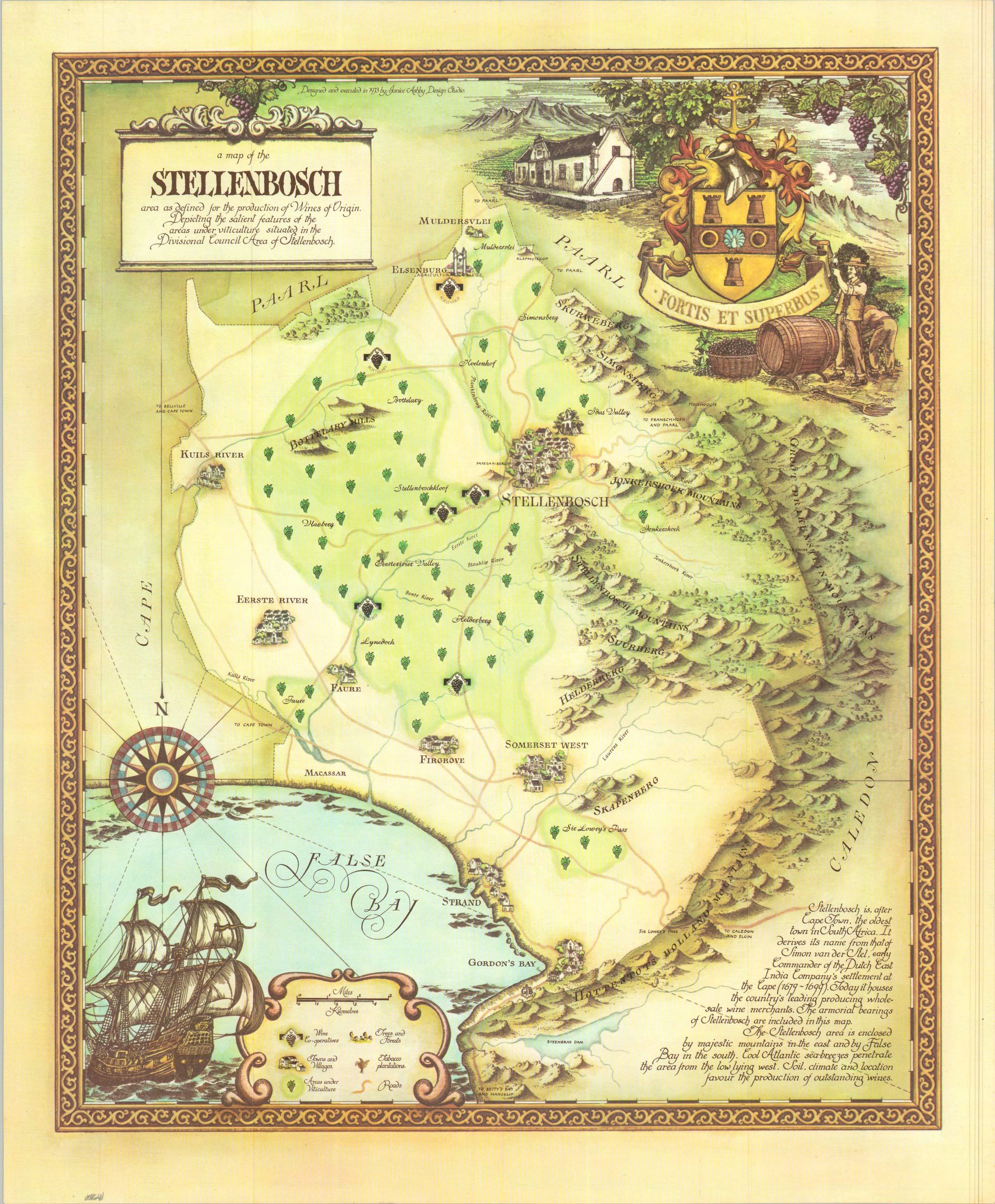
This beautiful promotional map captures an idylized history of the popular South African wine region of Stellenbosch. The Dutch roots are prominently featured in the decorative cartouche, which features a typical 18th-century vineyard. Areas under viticulture are highlighted in green, while grapes and tobacco plants show wine co-operatives and tobacco plantations, respectively.
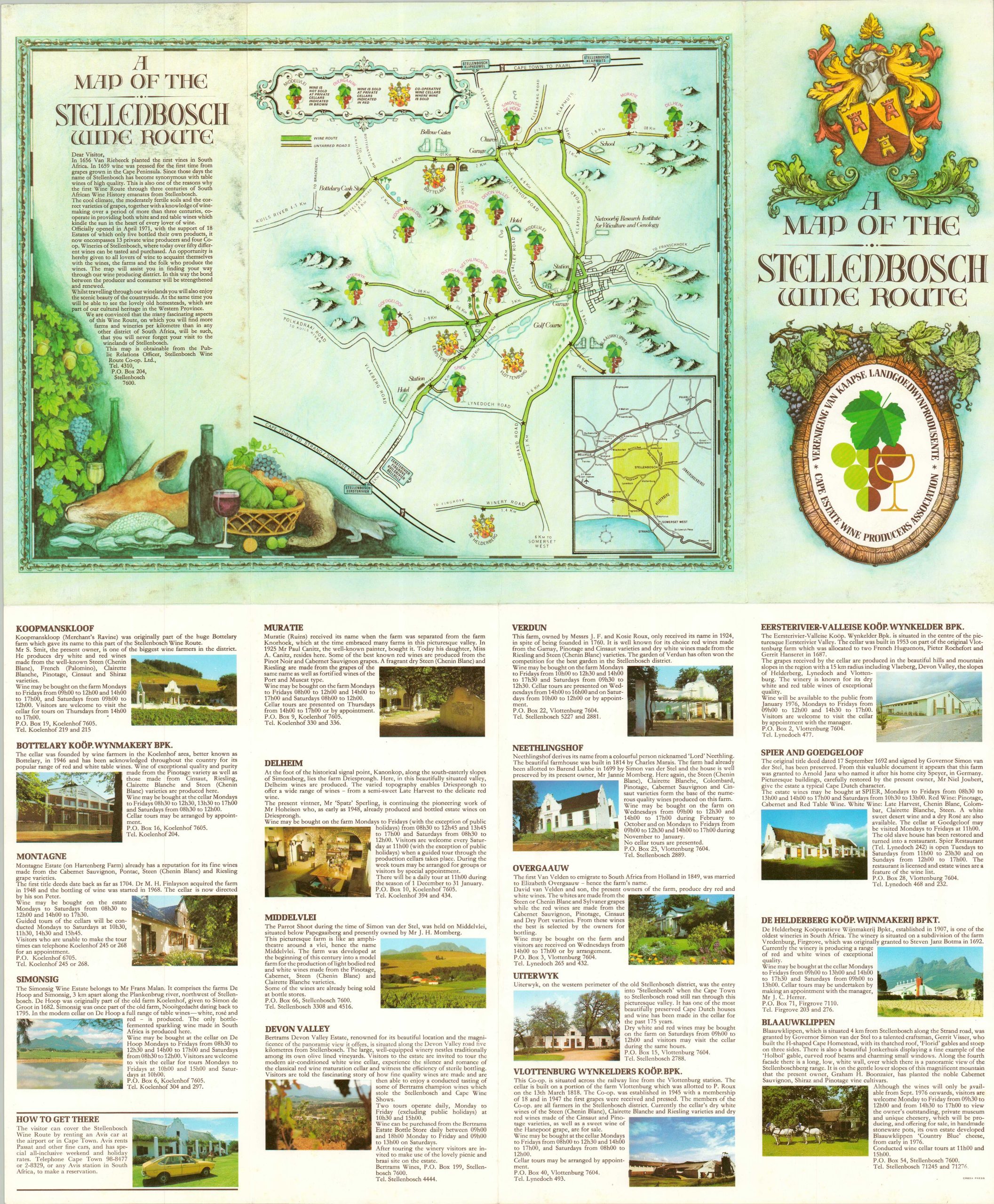
The piece is one of a series of twelve Wine Maps of South Africa, originally designed by the Janice Ashby Design Firm using the style of mapmakers from the Golden Age of Cartography. They have been published variously as souvenir guides, wall calendars, and posters. This example was sponsored by the Cape Estate Wine Producers Association and includes a Map of the Stellenbosch Wine Route on the verso, along with descriptions of several wineries.
Map Details
Publication Date: 1973
Author: Janice Ashby
Sheet Width (in): 17.75
Sheet Height (in): 21.50
Condition: A
Condition Description: Double-sided map brochure, creased along original folds. Near fine condition overall.
$165.00
1 in stock