A Map of Philadelphia County Constructed by virtue of an Act of the Legislature of Pennsylvania
Rare example of Melish’s map of Philadelphia County, published posthumously by H.S. Tanner in 1830.
Out of stock
Description
This incredible and scarce map of Philadelphia County, Pennsylvania was created by John Melish and published after his death in 1830 by H.S. Tanner. Melish, a Scotsman, settled in Philadelphia in 1811 and, in a career spanning just over a decade, he created some of the most important early maps of the United States. He is best known for his 1816 Map of the United States with the Contiguous British & Spanish Possessions, one of the first imprints to show America from coast to coast after the Louisiana Purchase. According to the Pennsylvania State Archives;
Based upon actual county surveys, the Melish-Whiteside maps were the first official set of county maps produced for the Commonwealth of Pennsylvania. Township lines, municipality names, and roads and distances are examples of the details present on each survey. In addition, structures such as post offices, factories, mills, mines, furnaces, forges, houses, churches, academies, and taverns are noted, as are the names of property owners for certain taverns, dwellings, furnaces, and mills.
The maps were the result of the work of John Melish, a geographer, traveler, and entrepeneur who convinced the Pennsylvania legislature to fund this ambitious cartographic project. Under enabling legislation passed on March 19, 1816, a number of deputy surveyors spread out across the Commonwealth. Over the ensuing years, these surveyors would produce maps for each county, which could then be assembled into a full and accurate map of the state. The deputy surveyors handed over their completed maps to the surveyor general, who in turn sent the maps to Melish for copying and engraving. But before these maps were delivered, a clerk made an office copy of the original. The first clerk to execute these copies was named John Whiteside, and since his signature appears on these versions, they have become known as the “Whiteside Maps” (several copies were also rendered by a Dan Small). Melish submitted his completed Pennsylvania map to the legislature in March 1822, which overwhelmingly approved his work, claiming the map was “an exquisite specimen of graphic skill,” and well worth the $29,276.75 spent on the project.”
Since this map of Philadelphia County was designed by Melish himself, there is no corresponding Whiteside manuscript. It displays the same careful attention to detail and is issued at a scale of 2.5 miles to 1 inch, the same as the other county surveys. The city of Philadelphia is distinct from the county, though these would be combined with the 1854 Act of Consolidation into one territory. The image depicts a fascinating contemporary overview and labels property owners, the transportation network, city suburbs, and numerous locations of interest. The latter category includes schools, a vineyard, waterworks, a hospital, churches, a tavern, and much more, outlined according to the legend in the center-left.
Several railroad tracks, highlighted in orange, can be seen running to each corner of the sheet. Despite the depiction of the lines as completed, the first railroad company in Philadelphia (Philadelphia, Germantown and Norristown Railroad) wouldn’t be operational until two years after publication. A statistical table in the lower right shows lists the various townships, their respective populations, area, and ‘face of the country.’ These details are emblematic of the incredible efforts undertaken by the surveyors, including Melish, during their work for the Pennsylvania legislature.
Most of Melish’s maps are rare on the market, and the pocket map of Philadelphia County is no exception. The first edition, published in 1819 while he was alive, is known in four examples – at the Knoxville Public Library, the Library of Congress, The Huntington, and the American Philosophical Library. The later 1830 edition, published by Henry Schenk Tanner after Melish’s death in 1822, is even scarcer. There is only one auction record (Swann, 2005) and one entry in OCLC at Cornell University.
Sources: Ristow, 114; 1819 Example at the LoC; Swann Auction Galleries; Pennsylvania State Archives; Maps of PA;
Map Details
Publication Date: 1830
Author: John Melish
Sheet Width (in): 20.75
Sheet Height (in): 18.25
Condition: B+
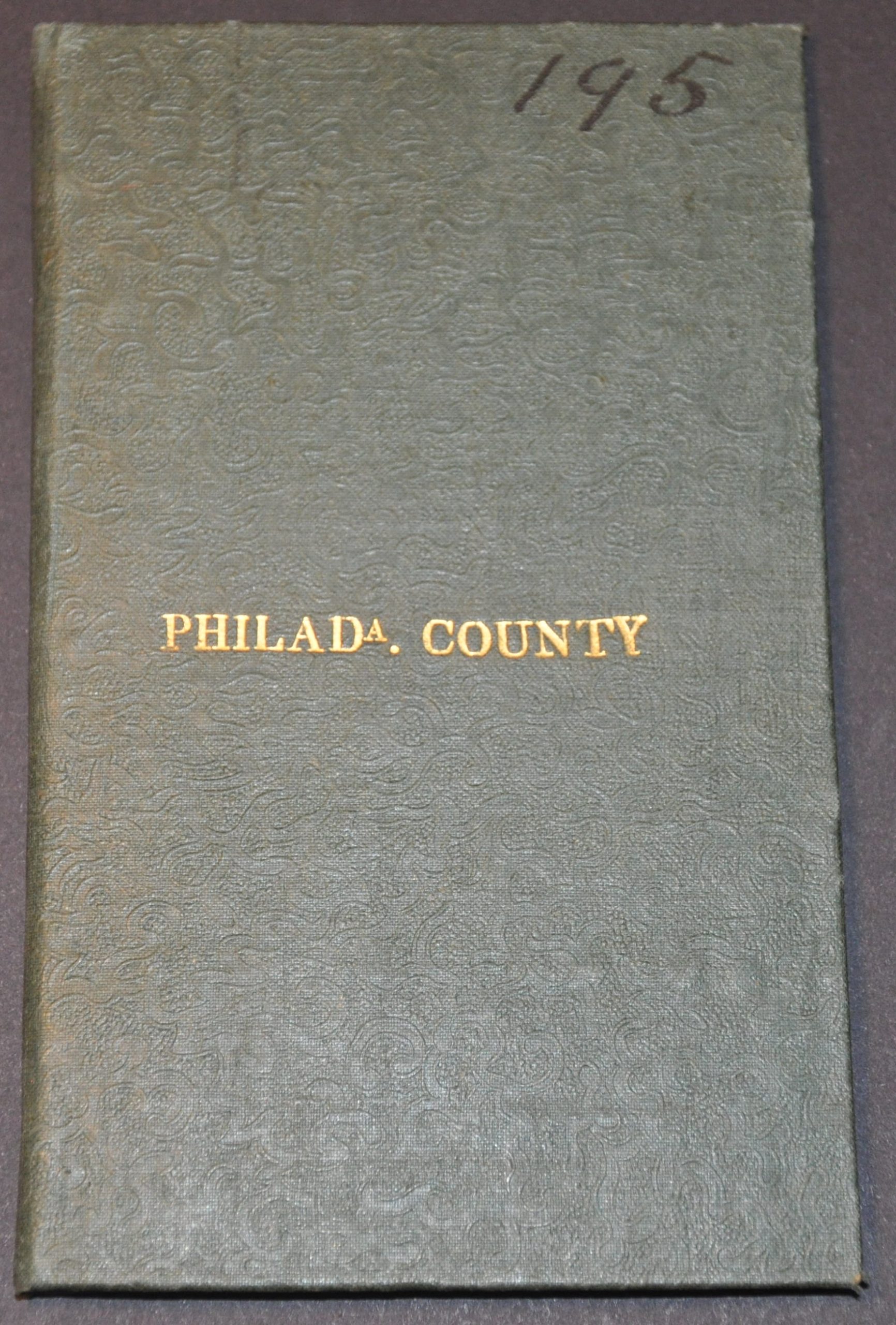
Condition Description: Nice pocket map folded into 32 panels and affixed to original green cloth covered boards with gilt title. Moderate to heavy offsetting visible throughout the sheet, which features attractive original hand color. Some light wear around the outer edges, but overall in good to very good condition.
Out of stock


