A Map of Part of the Land in the Royal Grant Devised by Sir William Johnson to Some of Hist Natural Indian Children
$50.00
Mid-19th century copy of an interesting New York survey.
Description
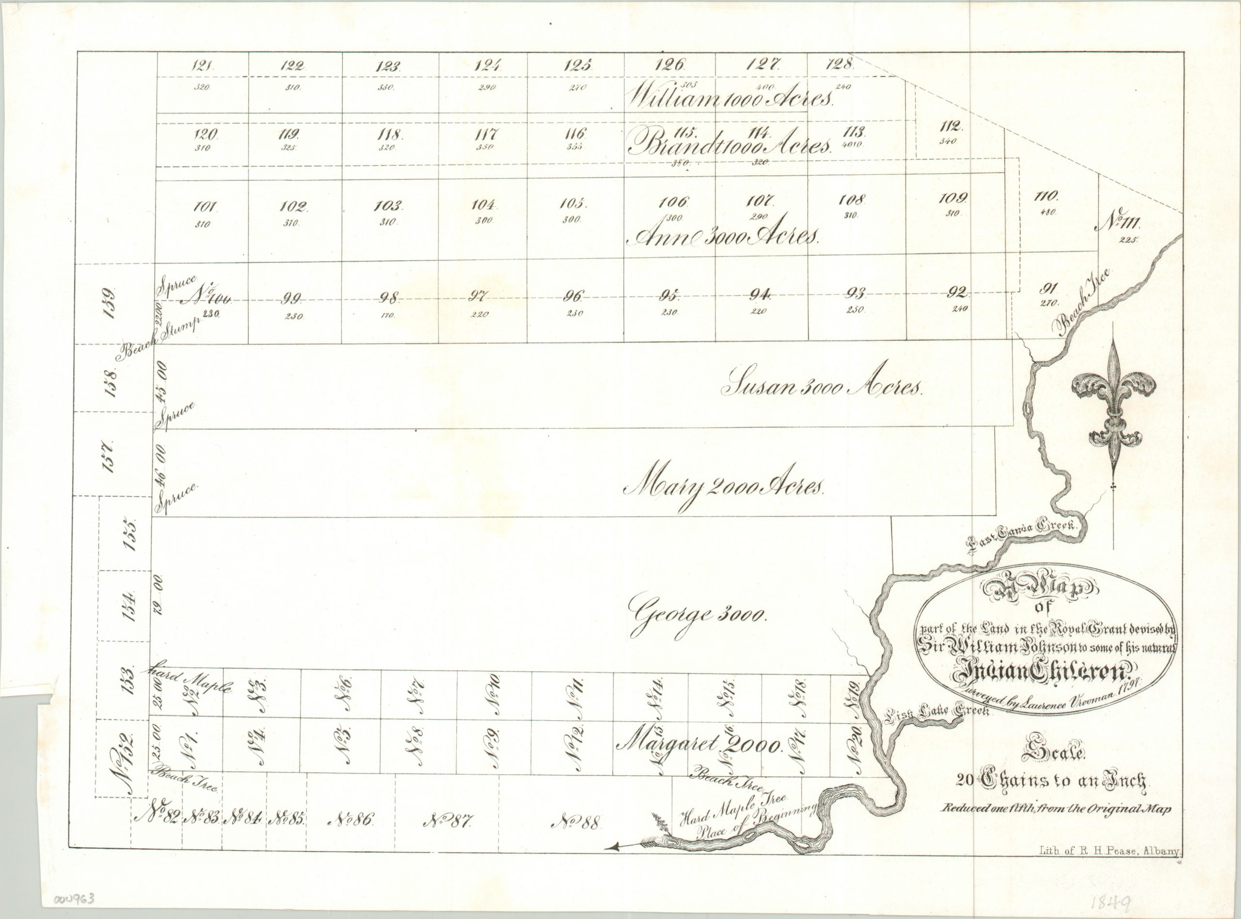
This map is based on an original survey conducted by Laurence Vrooman (note the Dutch name) in New York in 1797. It shows a roughly six square mile area in Hekimer County, New York, along the bank of the East Canada Creek.
What’s notable about this otherwise basic plat map is that it details the holdings granted by Sir William Johnson to several of his Native American children in the late 18 century. Each is referenced by a single Anglican name, such as Mary, George, and Susan, and the size of the plot in acres. Notable landmarks, such as trees and stumps, are also labeled.
This map was lithographed by Richard Pease in 1849 for inclusion in The Documentary History of the State of New-York by E.B. O’Callaghan.
Map Details
Publication Date: 1849
Author: Richard Pease
Sheet Width (in): 13.00
Sheet Height (in): 9.50
Condition: A
Condition Description: Fold line, as issued, and an uneven left margin. Otherwise fine.
$50.00