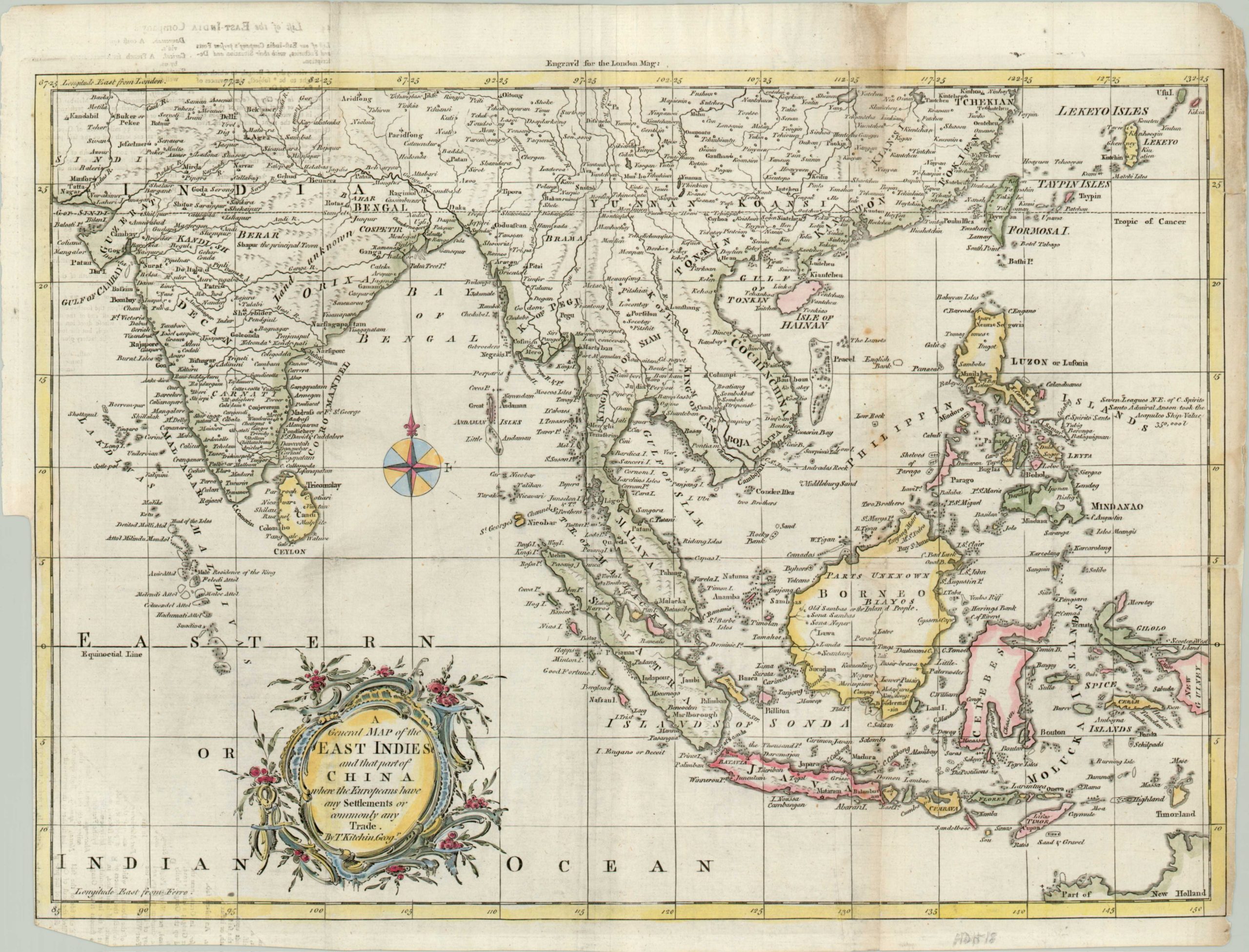
A General Map of the East Indies…
$175.00
Copperplate hand colored map of Southeast Asia published for the July 1761 issue of The London Magazine.
Description
This map shows an area in Asia from India to the Philippines and includes the coasts of China, Taiwan and Japan. The Spice Islands are identified in the lower right, east of the Celebes, and a note regarding Anson’s capture of the Spanish treasure ship Acapulco can be seen just above. Part of New Holland can just be seen in the lower right, requiring some distortion of the projection and scale. With lovely rococo cartouche and compass rose.
The publisher, Thomas Kitchin, was a former apprentice of Emanuel Bowen who would eventually acquire the title of “Royal Hydrographer to King George III.” He was well known for his maps published in various London periodicals, and for his collaborations with other well-known English contemporary cartographers. One likely source of information for the map maker was officers and sailors with the British East India Company; it continued to expand its operations in India and beyond throughout the 18th century.
Map Details
Publication Date: 1761
Author: Thomas Kitchin
Sheet Width (in): 17
Sheet Height (in): 13
Condition: B
Condition Description: The map is in good condition, with trimmed edges near the neatline. The image also shows soiling, faint text from the verso, and some separation along fold lines.
$175.00

