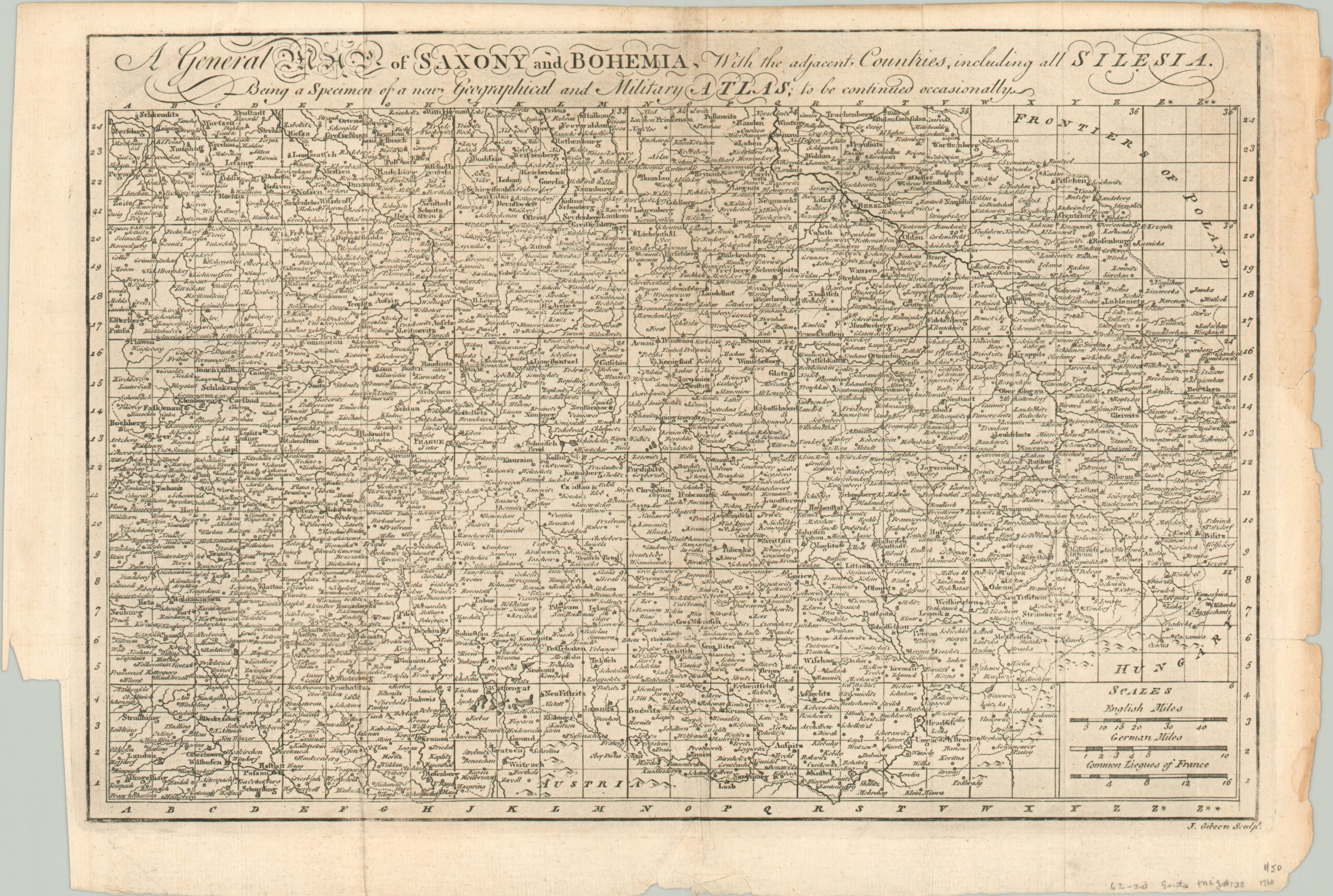
A General Map of Saxony and Bohemia
$75.00
The theater of conflict from the Third Silesian W
1 in stock
Description
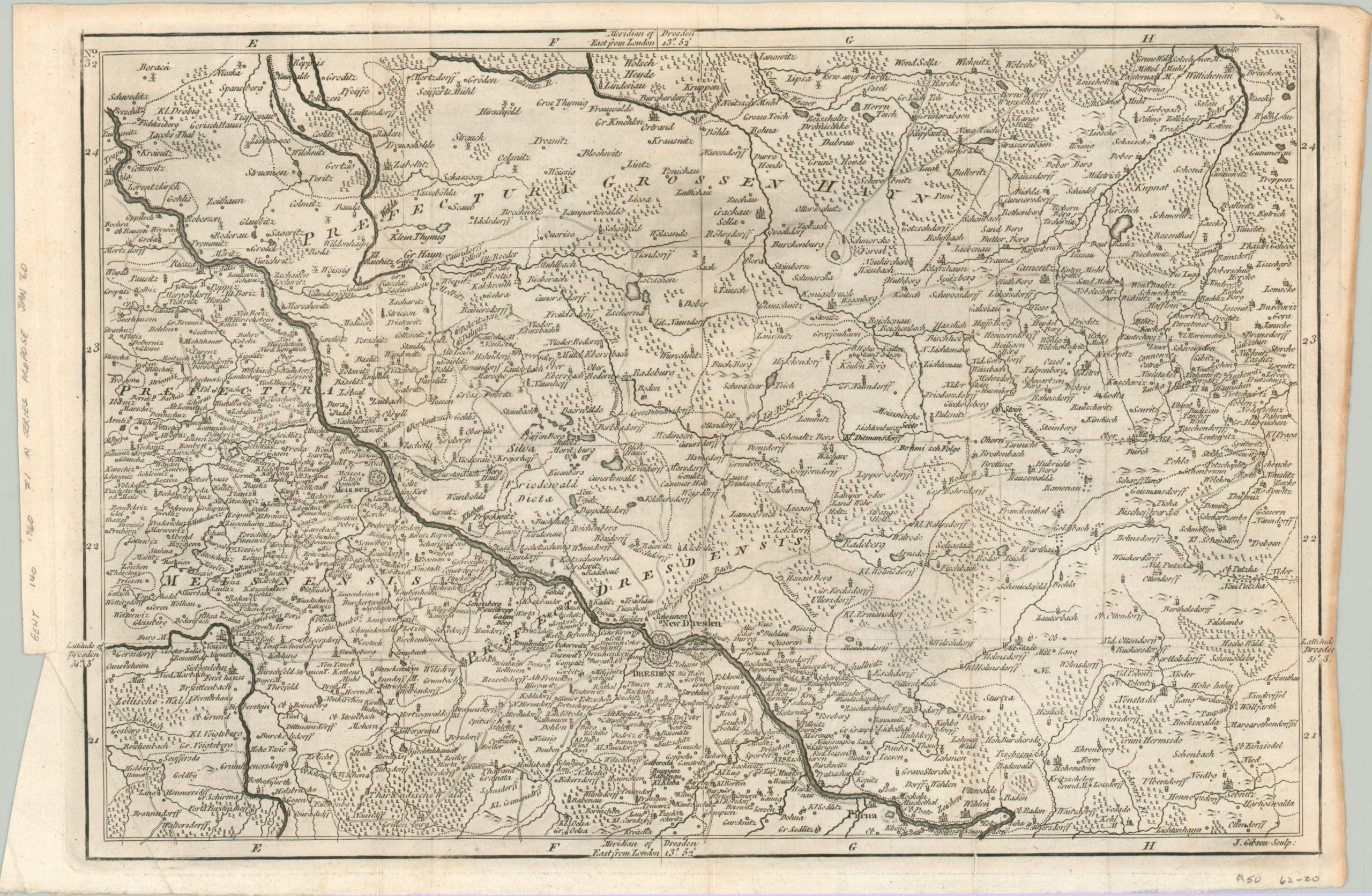
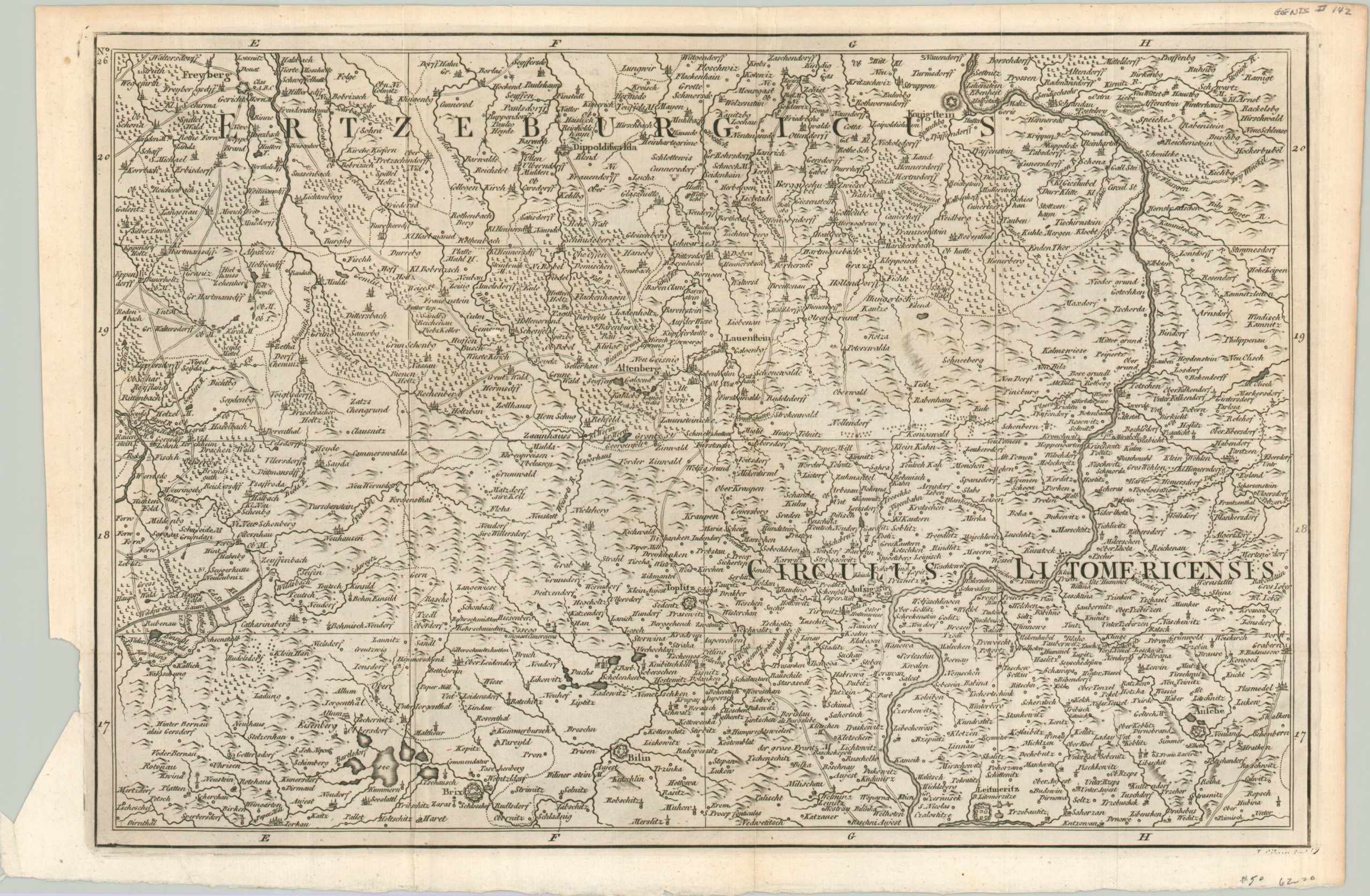
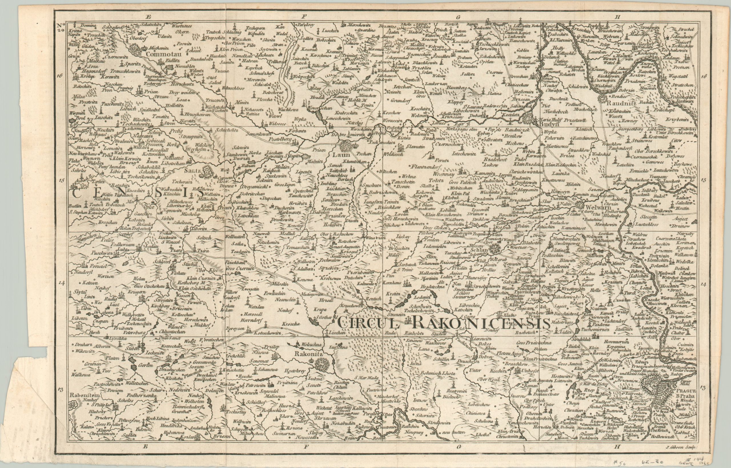
This interesting group of four maps was engraved by John Gibson and published in a 1760 edition of London’s Gentleman’s Magazine. Most of Europe was engulfed in the ongoing Seven Years’ War (1756 – 1763) and the maps were designed as “a specimen of a new Geographical and Military Atlas, to be continued occasionally” (according to the title’s subheading).
The collection focuses on a large region in modern-day Germany, Austria and the Czech Republic that encompasses the 18th-century states of Saxony, Bohemia, and Silesia. At the time of publication, these were important constituent parts of the Holy Roman Empire and an ongoing battlefield between Maria Theresa’s Austrian Empire and Prussia under Frederick the Great. The latter’s victory in all three Silesian Wars would solidify Prussia’s status as a major European power.
Each sheet shows information of particular interest to the armchair generals who would have comprised the primary audience. Fortified cities, primary transportation routes, and major geographic features are all identified.
Map Details
Publication Date: 1760
Author: John Gibson
Sheet Width (in): 15.4
Sheet Height (in): 10.1
Condition: A-
Condition Description: Group of four maps disbound from a 1760 supplement of Gentlemen's Magazine. Soft creases along originally issued fold lines and moderate wear around the outer edges, including a few small tears and chips. Minor toning, but overall the set is in about very good condition.
$75.00
1 in stock