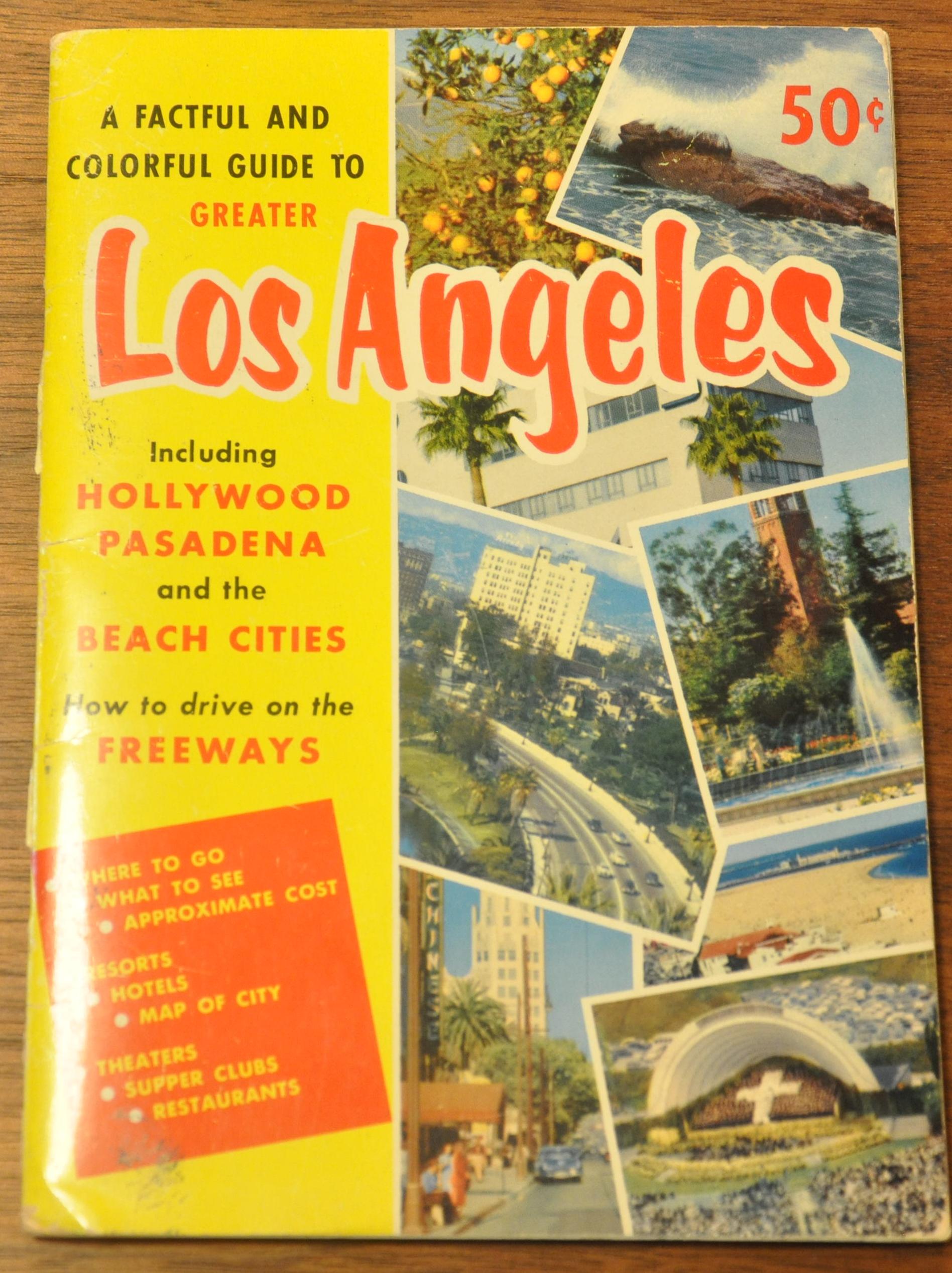
A Factful and Colorful Guide to Greater Los Angeles and the Beach Cities
$75.00
A colorful guide to late 1950’s Los Angeles.
1 in stock
Description
The development of the Interstate Highway System in the 1950’s revolutionized travel across America, and fundamentally altered the identity of communities across the country. Southern California, once a quiet beach region known for its orange groves and electric rail system, quickly evolved into an interconnected web of beach towns connected by huge multi-lane freeways.
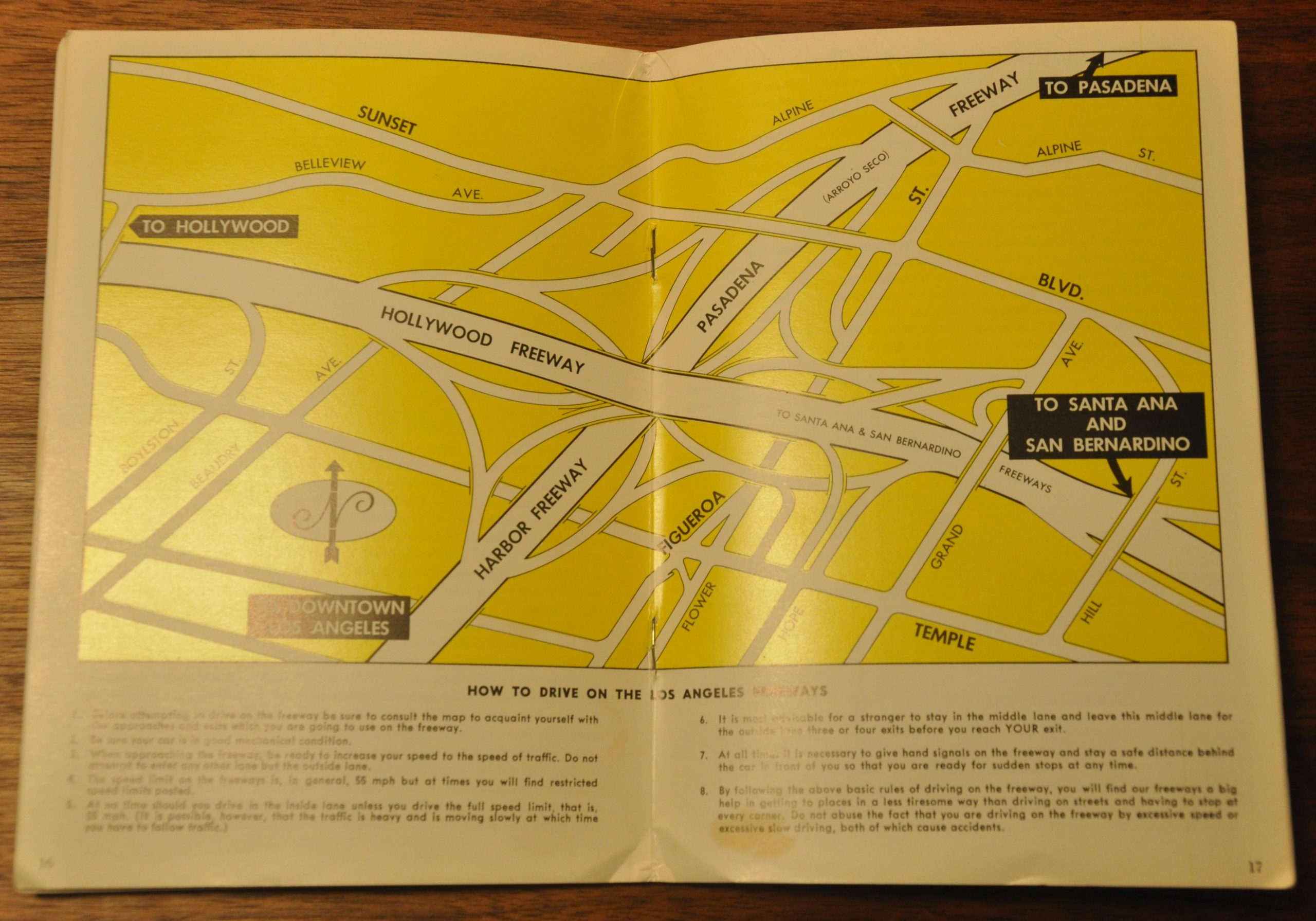
The change did not happen overnight, and this guidebook to Los Angeles and the surrounding area published in 1959 captures the City of Angels in the midst of its transformation. Thirty two pages of glossy color photographs and information on local attractions highlight the evolving nature of the city, and an inset map provides the intrepid traveler detailed directions on “How to Drive on the Los Angeles Freeways.”
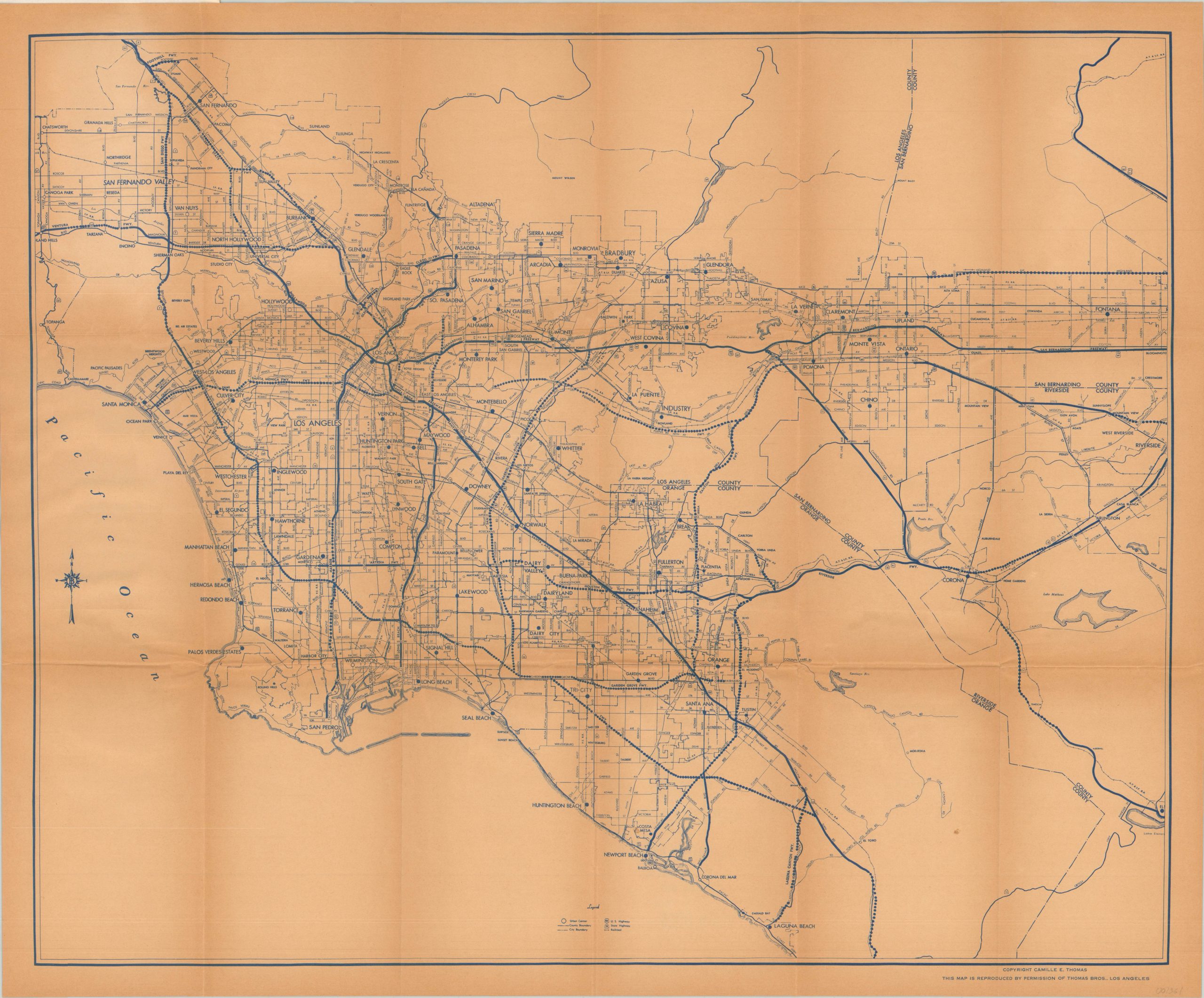
A larger map originally published by Thomas Brothers is tipped into the back of the book and folds out to show the local freeway system currently in operation, and under construction. No interstates, yet.
Map Details
Publication Date: 1959
Author: H.S. Crocker & Co.
Sheet Width (in): 23.75
Sheet Height (in): 19.75
Condition: B+
Condition Description: Guidebook is complete and in good shape. 32 pages with various color photographs and a centerfold map showing "How to drive on the Los Angeles freeways." Pages are clean with minor edge wear and a few spots of faint soiling. Paper covers are attached and similarly worn and faded. The folding map in the back is attached and in good shape. Toned from aged and with moderate creasing along originally issued fold lines. Some waviness and lightness to the sheet where it was attached to the back cover of the guidebook.
$75.00
1 in stock