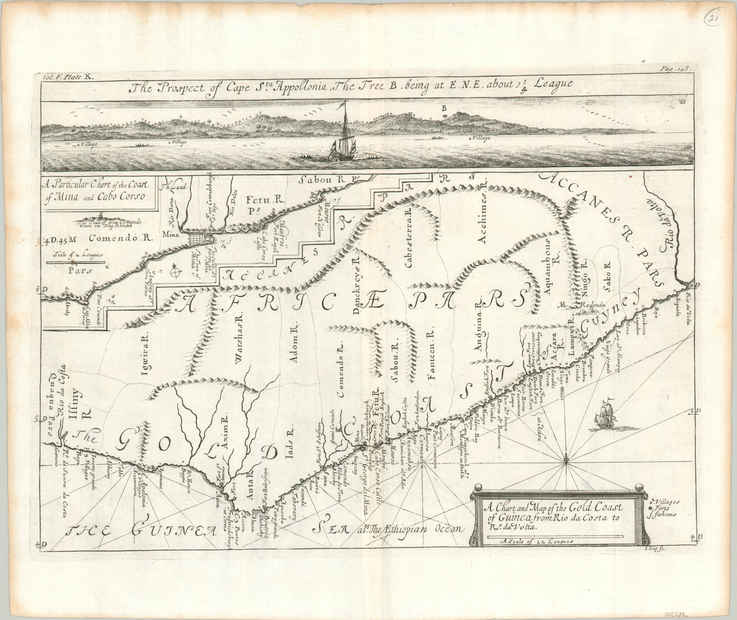
A Chart and Map of the Gold Coast of Guinea from Rio da Costa to Rio da Volta
Multi-part map covering an area for profitable trade along Africa’s west coast.
Out of stock
Description
This fascinating map of Africa’s Gold Coast region was engraved by Johannes Kip and published in the 1732 edition of the Churchill brothers epic six part travelogue, “A collection of voyages and travels.” The primary image shows the coastline between Cape Apollonia and the Rio Volta. Forts and villages are labeled according to the accompanying legend, with a number of locations indicated as English. A profile view of the former landmark is shown across the top of the page.
Immediately to the lower left is a detailed chart of a portion of the coast near Cape Corso (visible towards the lower center of the sheet). This includes the town and fortress of Mina, one of the oldest structures built by Europeans south of the Sahara Desert and a notorious prison for enslaved Africans awaiting the deadly voyage across the Atlantic.
Map Details
Publication Date: 1732
Author: Johannes Kip
Sheet Width (in): 16.00
Sheet Height (in): 13.60
Condition: A-
Condition Description: Moderate toning around the outer edges and light creasing along the vertical centerfold. Very good overall.
Out of stock

