
A Cartoon Map of the U.S. Naval Training Center at Great Lakes, Illinois
$425.00
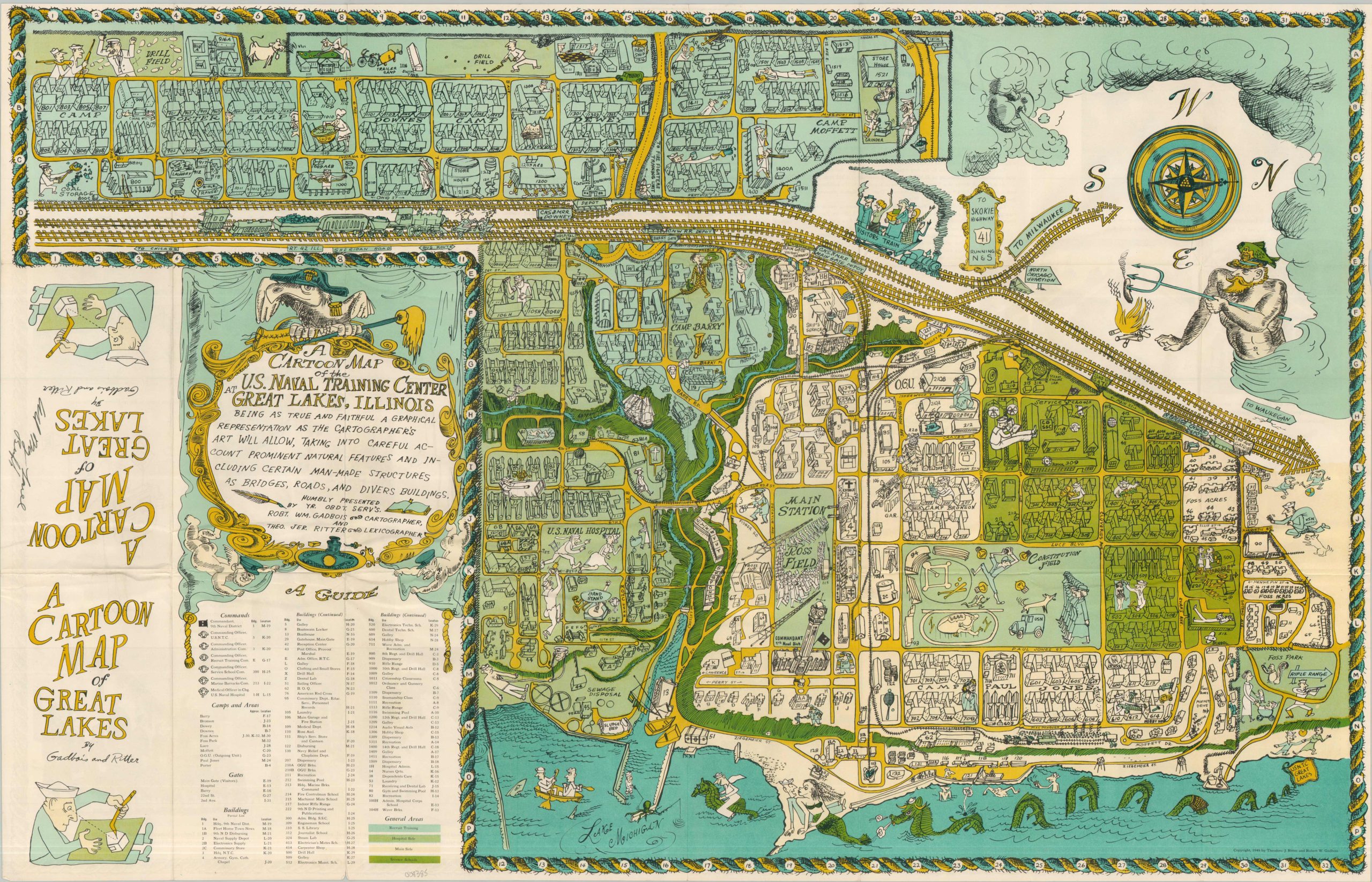
Amusing pictorial map of the Navy’s only bootcamp in the United States.
1 in stock

Description
Situated just north of Chicago, the U.S. Naval Training Center first opened in 1911 and remains the largest training center in the United States for naval personnel, including the Navy Seals. This cartoonish post-WWII overview, designed by someone with an intimate knowledge of the grounds, provides a rich visual snapshot of interest to both the sailor and the civilian.
Naval humor is evident throughout the map, from the seamen cherubs and mop-wielding bird in the title cartouche to chasing nurses and mermaids along the shores of Lake Michigan. Windheads, sea monsters and tall ships allude to maps produced during the “Golden Age of Cartography” and appear alongside dozens of comical vignettes satirizing everyday aspects of naval life; the drill field, insect infestations, the sick bay and recreational activities.
Despite the abundant amusement, there are also practical elements to the souvenir map. Nearly 100 buildings, camps, and command posts are individually illustrated and listed in the accompanying legend. Color coding is used to distinguish different areas for schooling, recruitment, convalescence and administration. The verso includes photographs and a brief history/overview of life at the training center.
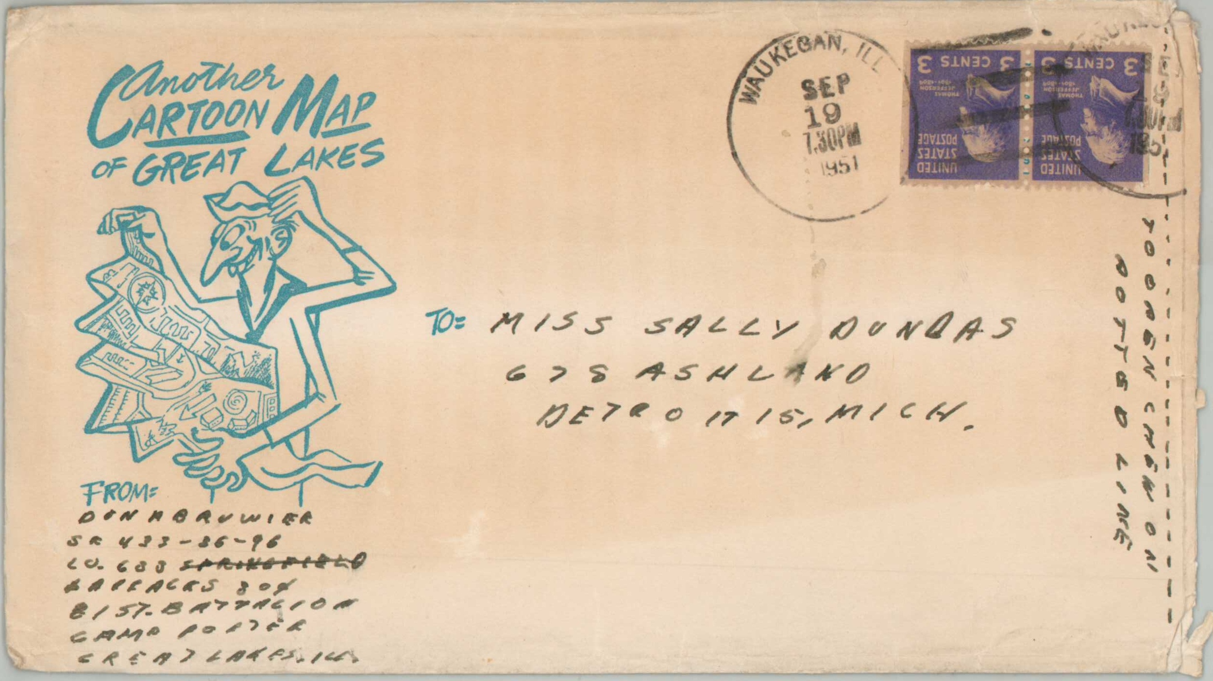
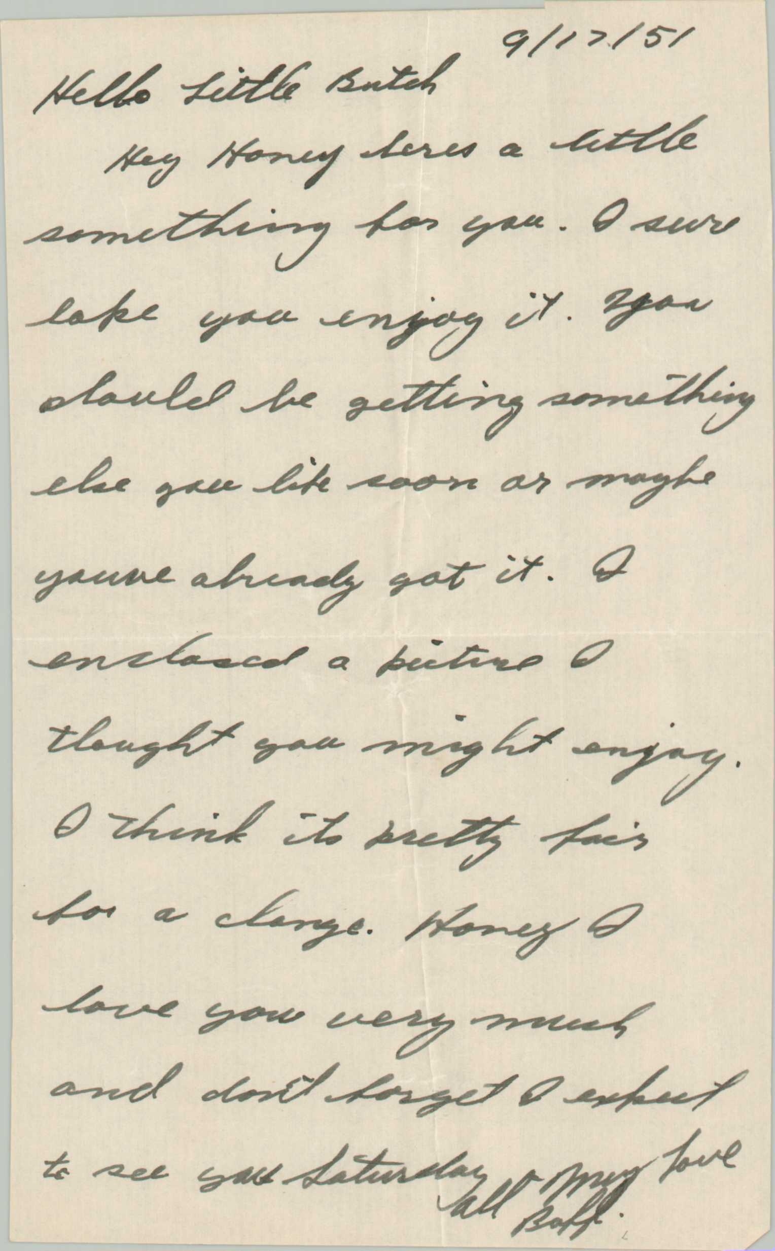
The map is credited to Robert Gadbois (Cartographer) and Theodore Ritter (Lexicographer) and is dated 1949 in the lower right. The nearby inclusion of a U.S.N.T.C. Great Lakes flag indicates it was likely an officially-sanctioned publication. This particular example was sent in 1951 by a sailor to his sweetheart in Detroit, Michigan. It includes a brief letter and photograph, along with the original envelope, to which has been added a funny suggestion – ‘to open chew on dotted line.’
Map Details
Publication Date: 1949
Author: Theodore Ritter & Robert Gadbois
Sheet Width (in): 34.00
Sheet Height (in): 22.00
Condition: A
Condition Description: Vibrant double-sided map brochure with light wear and some creasing along original folds, consistent with age. Near fine condition overall, with original addressed envelope (dated 1951) and transmittal letter.
$425.00
1 in stock