
27th Division Somme Offensive September 24 – October 2, 1918
$75.00
The 27th U.S. Infantry Division breaks the Hindenburg Line.
1 in stock
Description
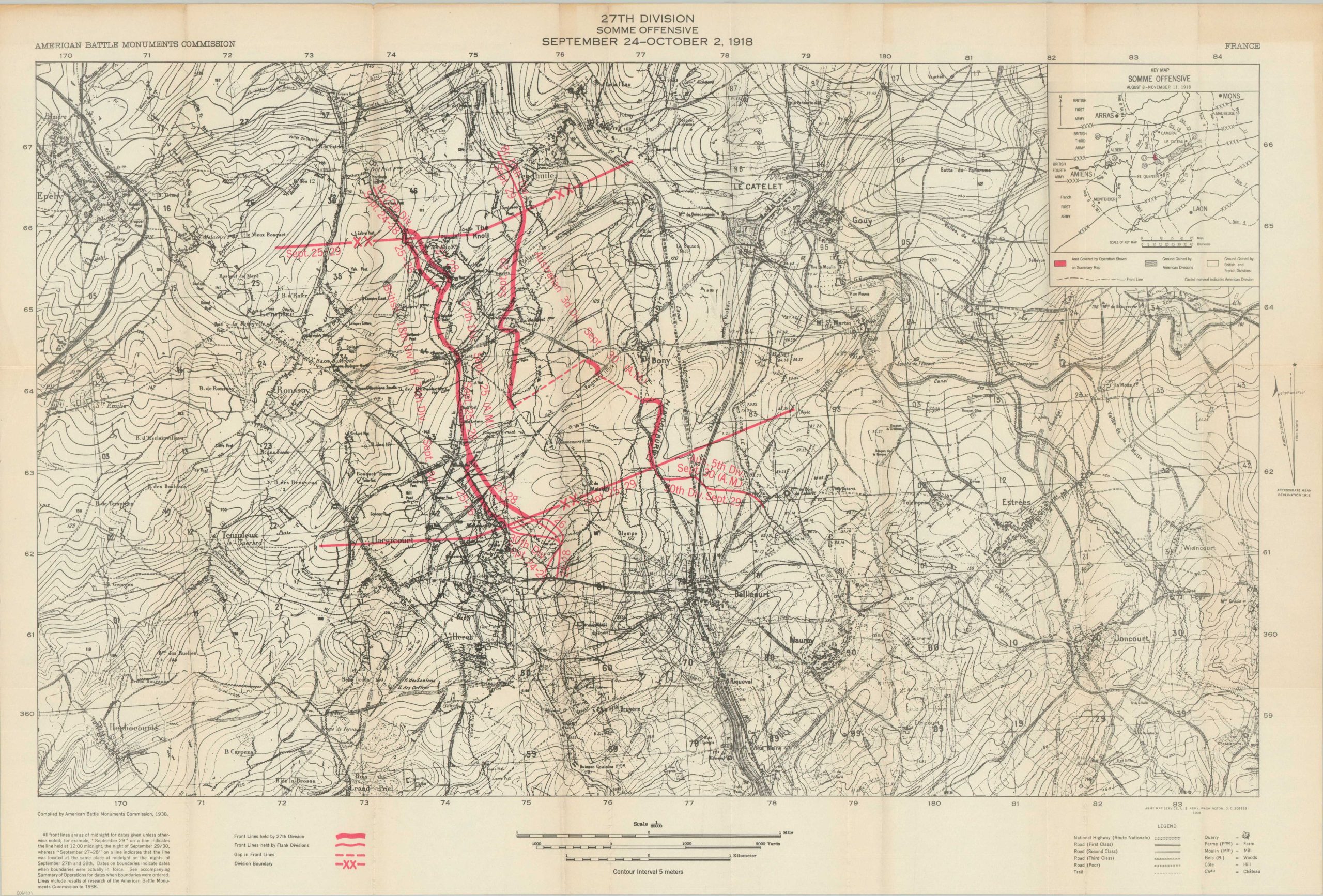
This detailed contour map covers an area in northeastern France that was the scene of heavy fighting during the First World War. It was published by the Army Map Service in 1938 on behalf of the American Battle Monuments Commission to commemorate the actions of the 27th Infantry Division during the Somme Offensive, between September 24 and October 2, 1918. An inset map in the upper right aids the audience in understanding the broader picture across the Western Front, while bold red lines highlight dated unit movements across the sector.
The image reflects the pivotal Battle of St Quentin Canal in which the 27th, operating as part of the British Fourth Army, helped to create one of the first breaches in the Hindenburg Line. The capture of the town of Bellicourt is illustrated with the advance of the line. According to the Australian War Memorial,
“Originally built to connect the Somme and Scheldt Rivers, the Germans utilised the St Quentin Canal as an additional defensive barrier forward of the Hindenburg Line. East of Peronne the canal ran through a tunnel for approximately six kilometres between Bellicourt and Venhuille. As this “bridge” over the canal formed an obvious point at which to attack the Hindenburg Line it was heavily defended.”
Sources: United States National Guard; Australian War Memorial
Map Details
Publication Date: 1938
Author: American Battle Monuments Commission
Sheet Width (in): 31.6
Sheet Height (in): 21.4
Condition: A-
Condition Description: Creasing and light toning along originally issued fold lines. Some further toning visible in the upper margin. Very good condition overall. Blank on verso.
$75.00
1 in stock