
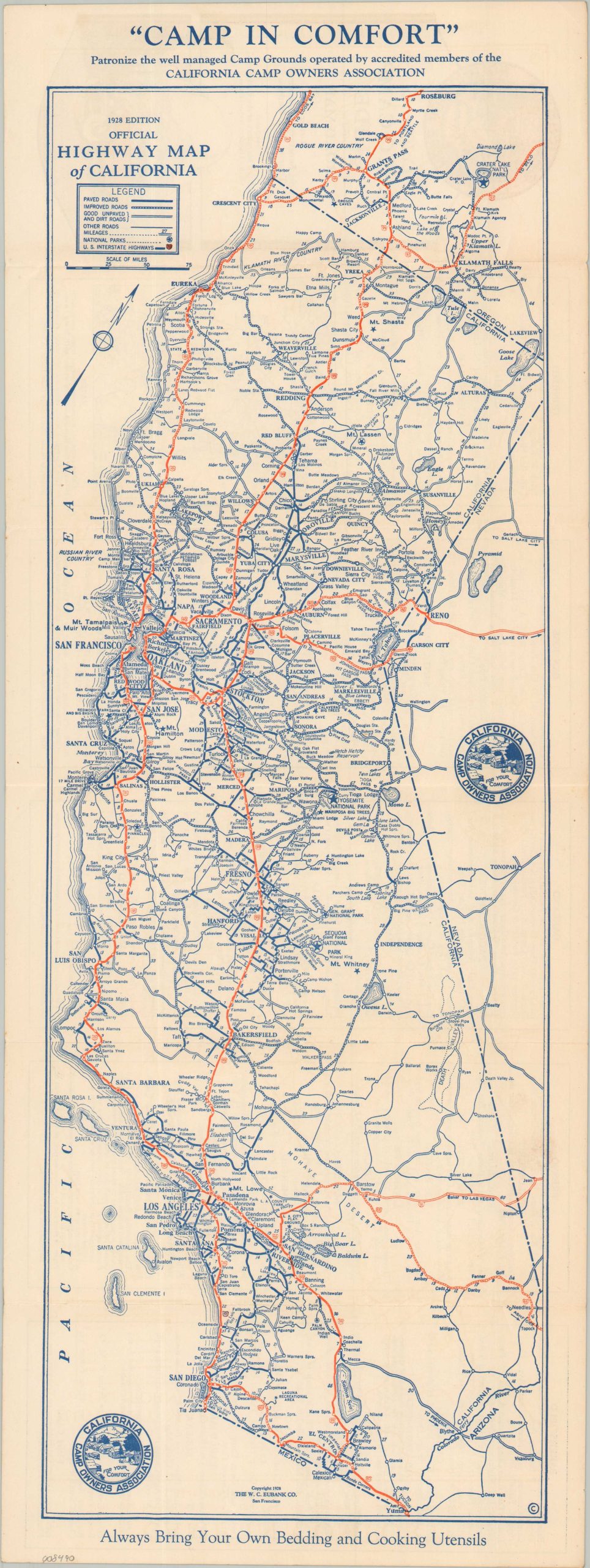
1928 Edition Official Highway Map of California
$100.00
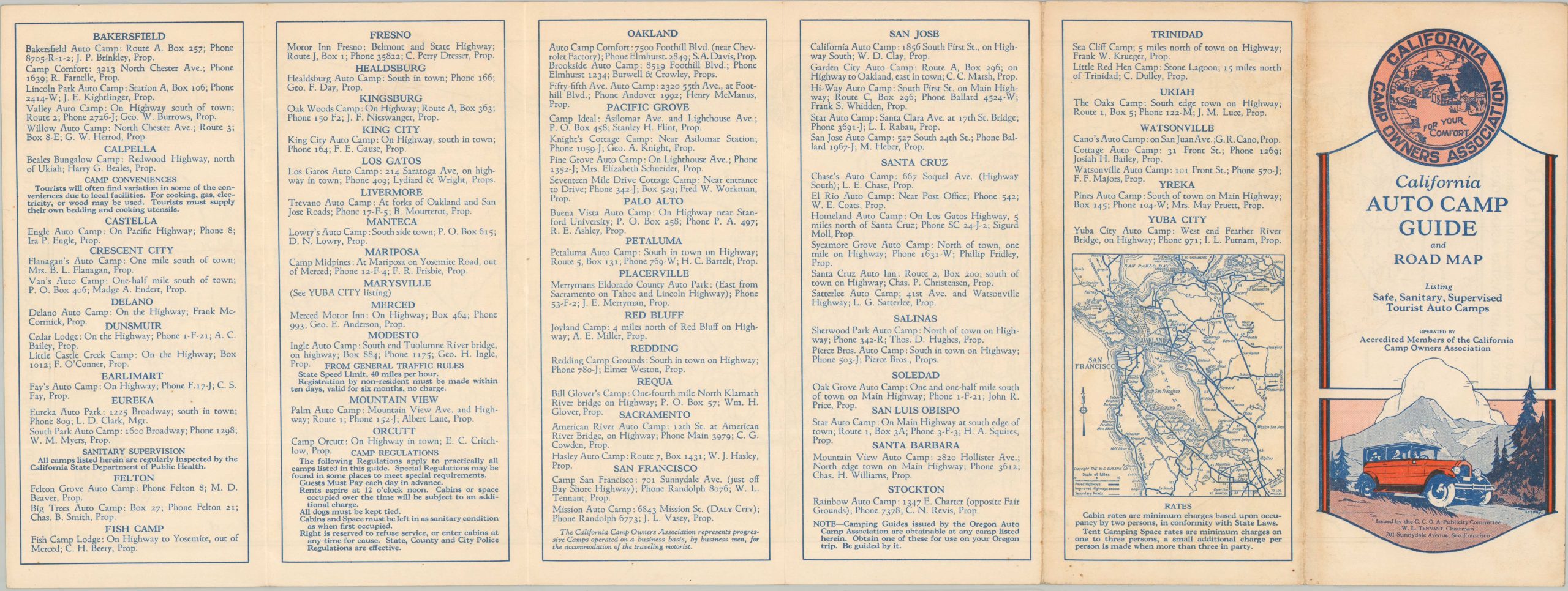
California Auto Camp Guide and Road Map
1 in stock
Description
This detailed map of California shows the state’s robust network of roads near the end of the Roaring 20s. Paved, improved, and other (dirt, unpaved, etc.) are noted according to specific styles of lines, while red coloring highlights the routes of the recently established U.S. Numbered Highway System. Distances between points are provided, but topographic details are mostly omitted. Various locations of interest are noted with small stars, while National Parks are encircled.
The map was copyrighted in 1928 by the W.C. Eubank Company of San Francisco. It was issued by the Publicity Committee of the California Camp Owners’ Association to promote their organization’s members, who assured to provide ‘Safe, Sanitary, Supervised Tourist Auto Camps.’ An index on the verso lists dozens of camps throughout the state (with proprietors’ and presents a small inset map of the roads around the Bay Area. Always Bring Your Own Bedding and Cooking Utensils!
Map Details
Publication Date: 1928
Author: W.C. Eubank Association
Sheet Width (in): 8.75
Sheet Height (in): 23.75
Condition: A
Condition Description: Double-sided map brochure with light wear along original folds and in the margins, consistent with age and use. Faint toning. Very good condition overall.
$100.00
1 in stock