
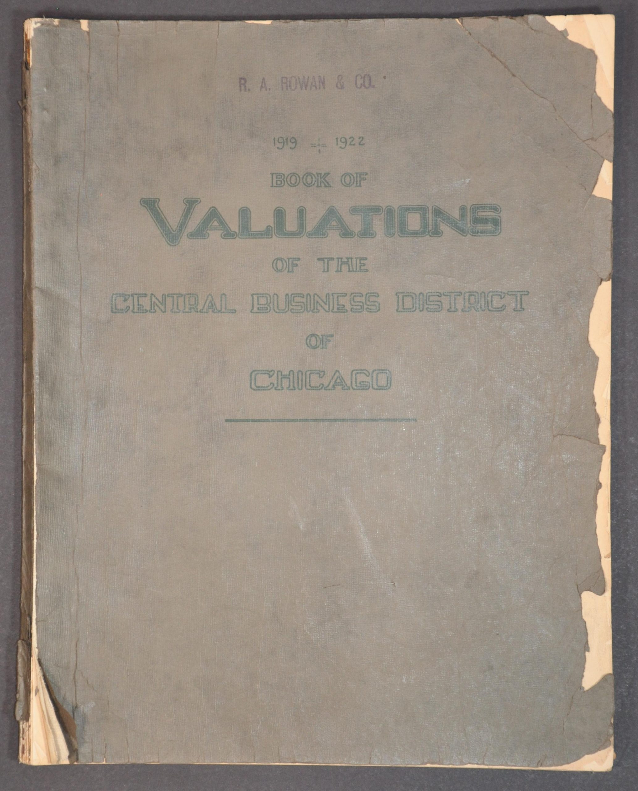
1919 – 1922 Book of Valuations of the Central Business District of Chicago
$225.00
Downtown Chicago, block by block.
1 in stock
Description
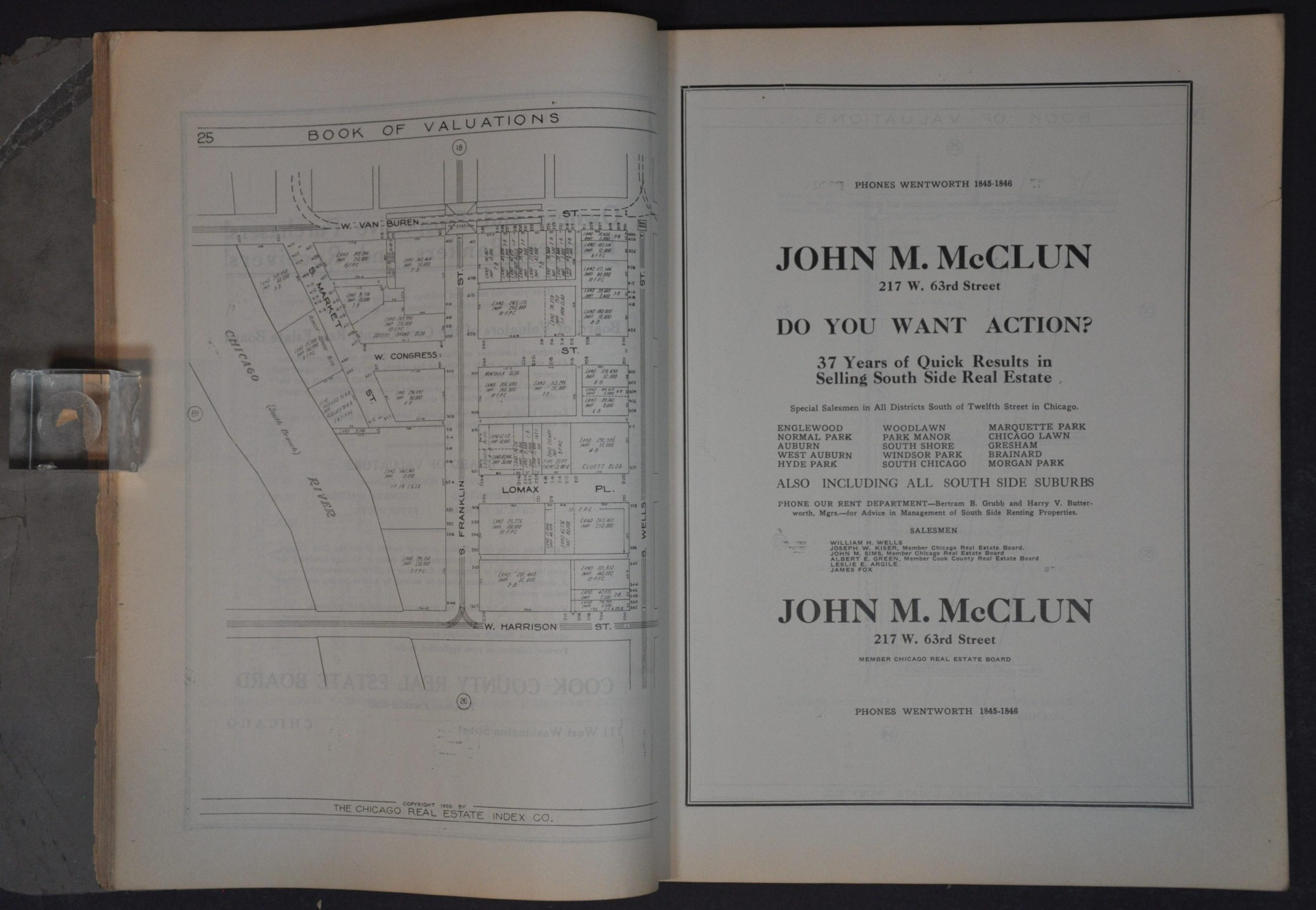
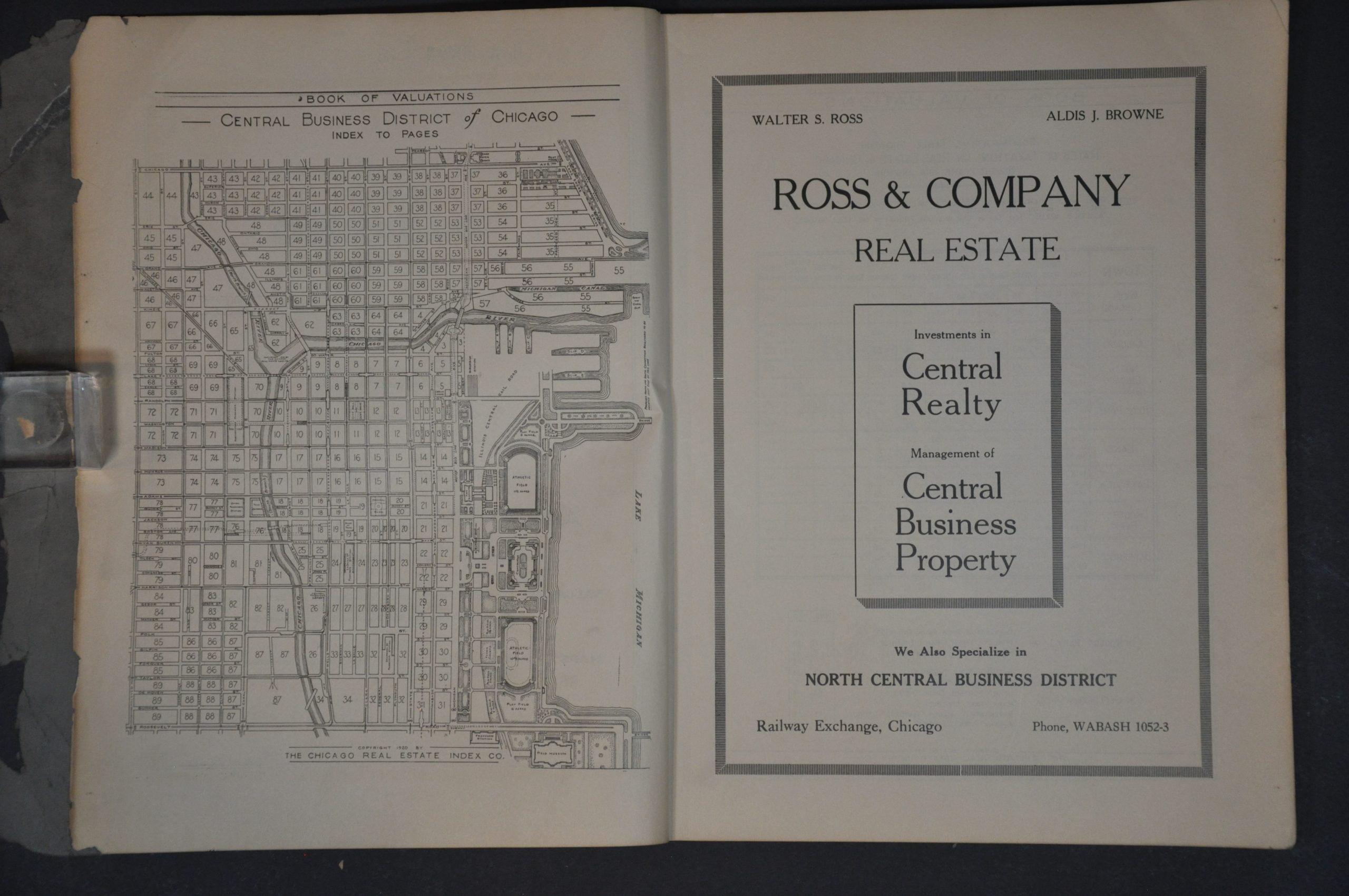
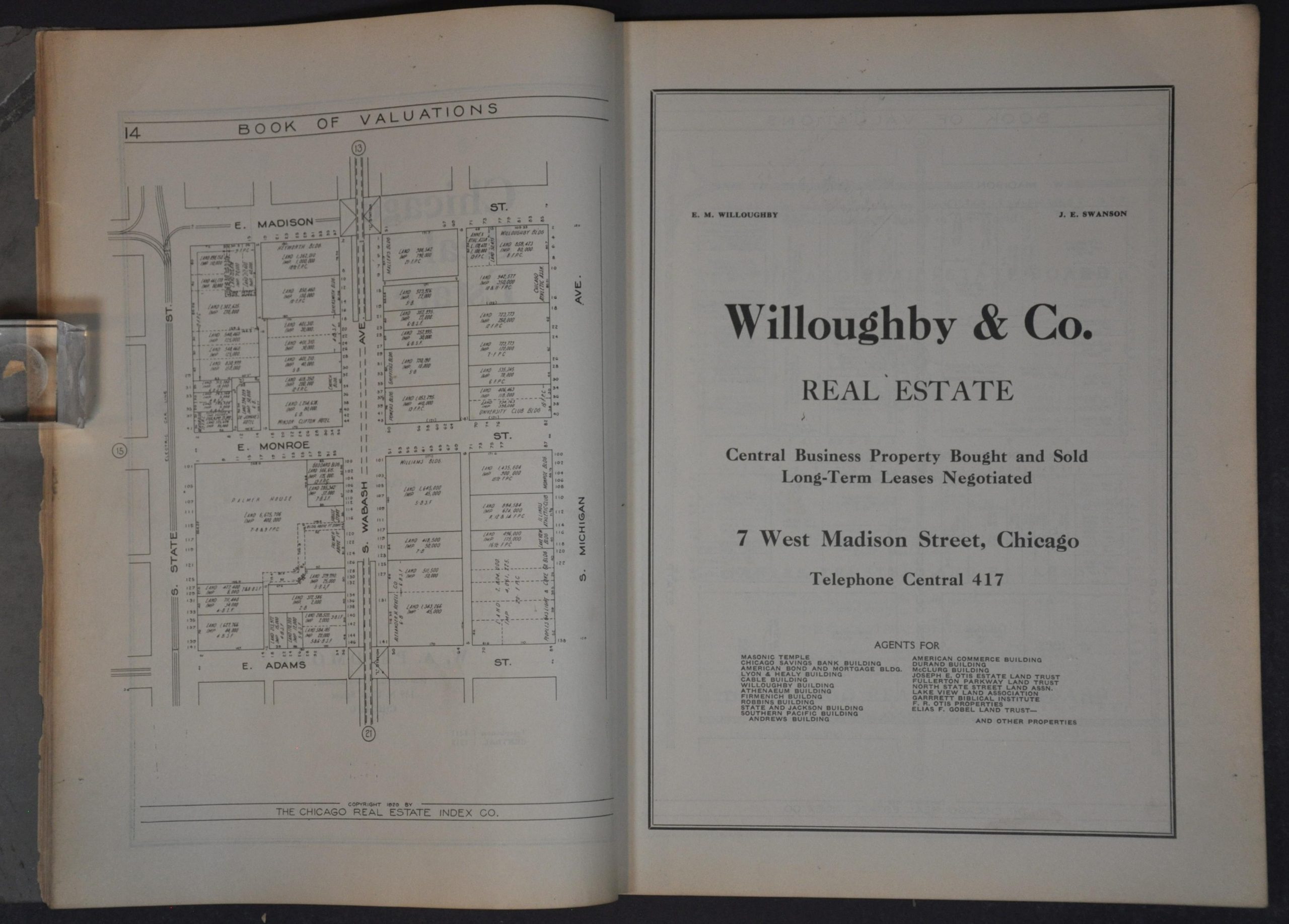
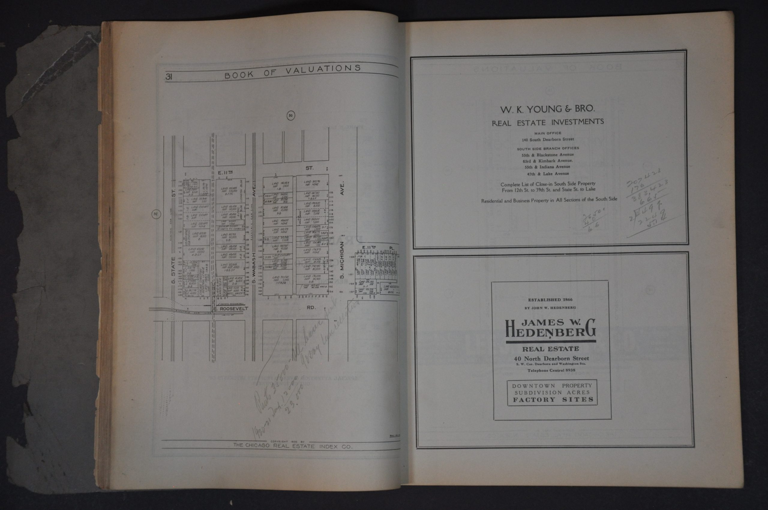
This marvelously detailed volume reflects the intensity of the Chicago real estate market and the speed of its commercial development in the years following World War I. Published in 1920 by the Chicago Real Estate Index Co., the book contains 89 single-page maps (plus an index) that provide large-scale overviews of each city block in Chicago’s commercial district (today’s Loop, River North, and Near West).
Each plot, carefully sized, shows its respective assessed land value, the value of any improvements, and the name of primary landowners (where available). Major buildings, streets (some vacated), and geographic features are labeled – providing a detailed snapshot during a period of significant growth. Many of the city’s iconic landmarks – the Wrigley Building, Chicago Theater, Tribune Tower, Adler Planetarium – would be built within the next decade and completely change the skyline. Advertisements for real estate agents, banks, brokerage firms, and other related industries occupy every space not otherwise occupied by a map.
Map Details
Publication Date: 1920
Author: Chicago Real Estate Index Co
Sheet Width (in): 10.5
Sheet Height (in): 13.4
Condition: B
Condition Description: Unpaginated, but there are 90 single page maps (including index), each with a contemporary advertisement printed on the verso or opposite page. Rebound with old archival tape into original green covers (tattered, but stable). Contents are tight and in good shape, with moderate wear and toning along the fore edge, including some small chips and tears. Rubberstamped R.A. Rowan & Co. A handful of penciled annotations reflect prior use. Good condition overall.
$225.00
1 in stock