
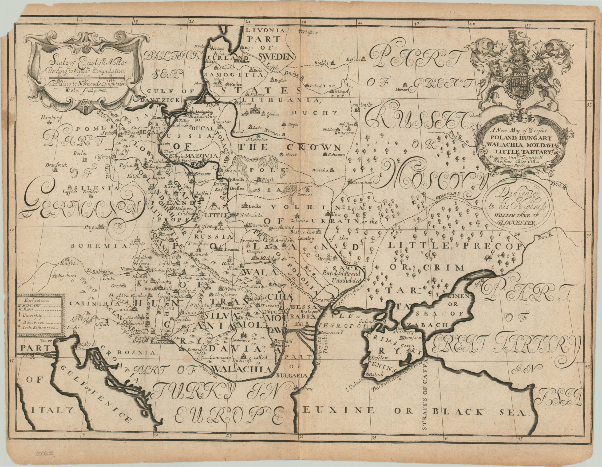
A New Map of Present Poland, Hungary, Walachia, Moldavia, Little Tartary
Decorative map of Poland and Hungary issued by the English clergyman Edward Wells.
Out of stock
Description
The eastern European kingdoms of Poland-Lithuania, Hungary, Walachia and Moldavia are sandwiched between their historic rivals on this map of the region north of the Black Sea. Russian cossacks, Swedish pikeman and Ottoman janissaries would all invade and snatch up portions of territory in the depicted area throughout much of the 17th and 18th centuries. This was certainly distressing to the English, who relied on the Poles to maintain a barrier state against the increasing might of those who would threaten the stability of western Europe.
Civilizing forces like education and religion are labeled in the key, while distance scales show the relatively small extent of the area under threat. Edward Wells was a devout member of the Church of England who published prolifically throughout the late 17th and early 18th centuries. Much of his work was focused on the divine and included sermons, text books and historical atlases of the Old and New Testaments.
This map was published in an atlas dedicated to William, Duke of Gloucester, who was a pupil of Wells at Oxford that died in 1700.
Map Details
Publication Date: c. 1700
Author: Edward Wells
Sheet Width (in): 20.20
Sheet Height (in): 15.50
Condition: B-
Condition Description: Discoloration along centerfold and a chip taken from the sheet in the upper left corner. Narrow margins on the side, but otherwise good.
Out of stock