
Principal Highway Routes of the United States
$85.00
The roads of America during the Great Depression.
1 in stock
Description
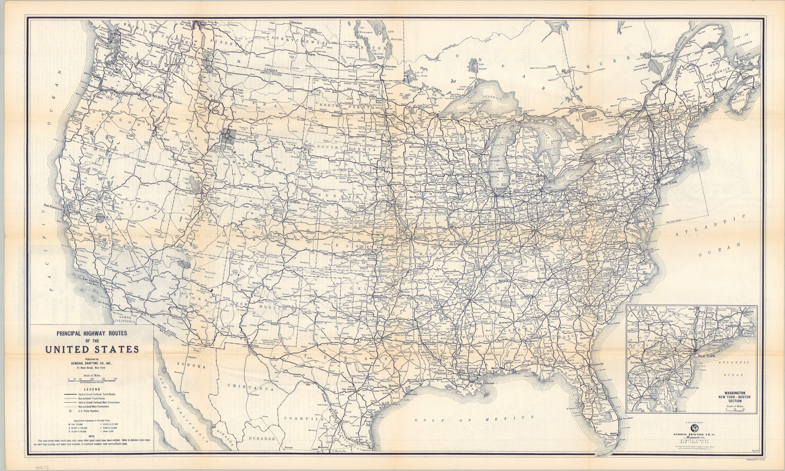
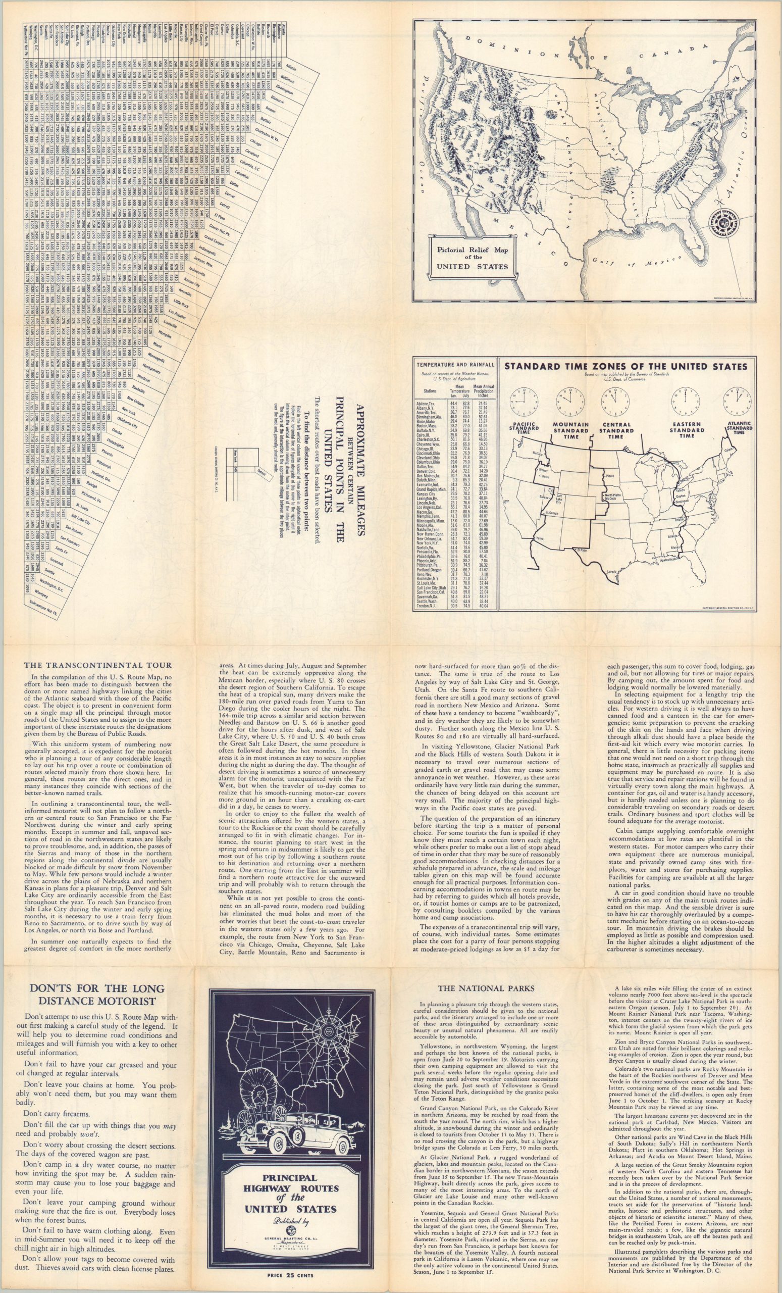
This interesting road map of the United States was issued around 1934 by the General Drafting Company, Inc. of New York. A skeletal outline of America’s highways uses solid and cased lines to identify the improved (paved or gravel) and non-surfaced routes from coast to coast. Distances between points are noted and cities are labeled according to their population. An inset in the lower left shows the Northeast Corridor. Advice for motorists, a mileage table, a Pictorial Relief Map of the United States and an outline of the time zones are all provided on the verso.
Map Details
Publication Date: c. 1934
Author: General Drafting Company, Inc.
Sheet Width (in): 28
Sheet Height (in): 17
Condition: A-
Condition Description: Double-sided map with sharp creasing and some light toning along the folds. Very good condition overall.
$85.00
1 in stock