
Aswan
$110.00
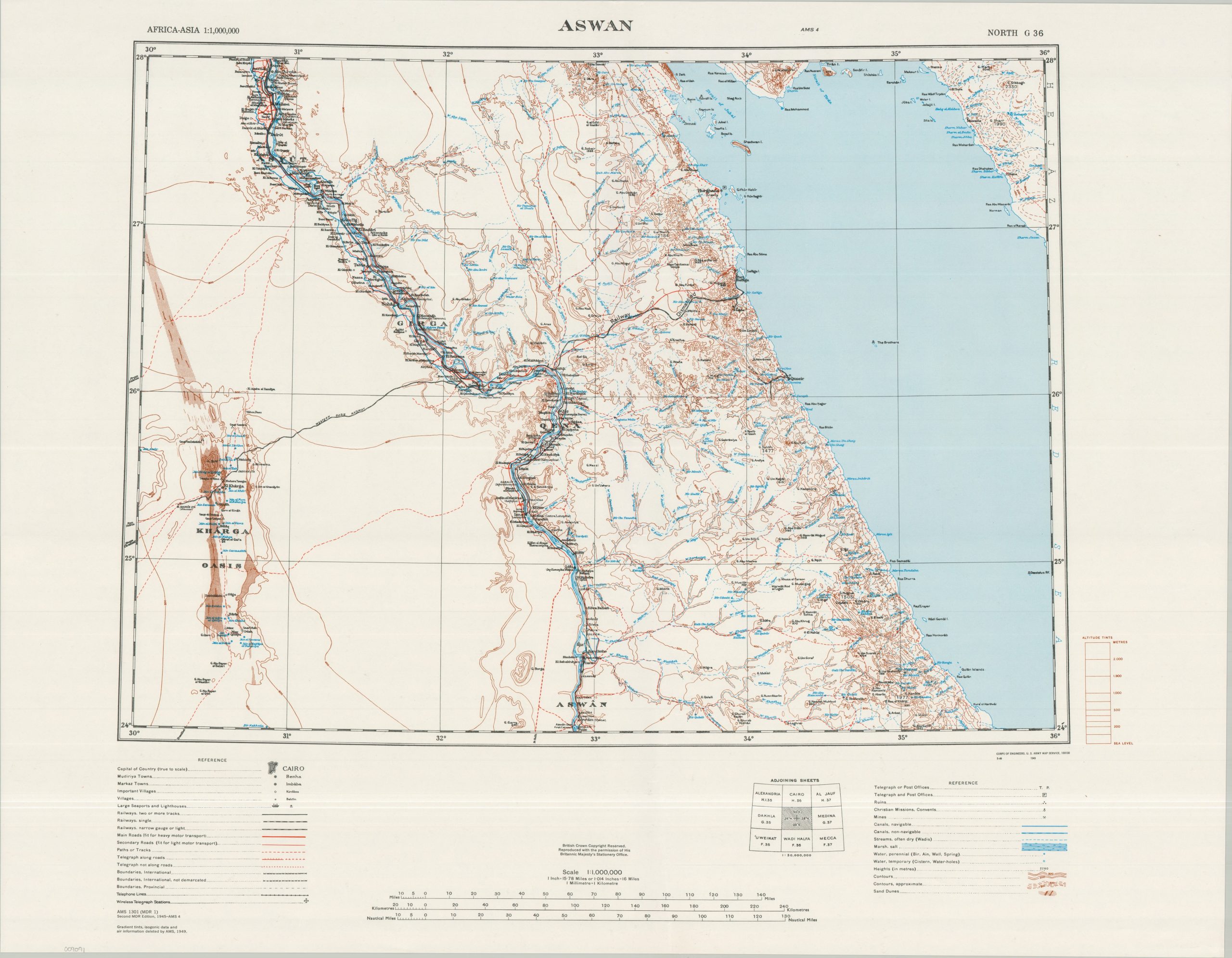
Detailed postwar topographic map of Middle Egypt issued by the U.S. Army Map Service.
1 in stock
Description
This information-packed topographic map of Egypt was published in 1949 by the U.S. Army Map Service in cooperation with British authorities. The carefully crafted image captures a portion of the Nile River between the historic areas of Aswan and Askut. Much of the adjacent territory is also covered, including portions of the Red Sea and the Kharga Oasis. An extensive legend identifies the lines and symbols used to denote a wealth of details on regional transportation, hydrography, historic sites, communication infrastructure, settlement patterns, and more.
At the time, Egypt was grappling with the aftermath of the 1948 Arab-Israeli War, while political and civil unrest were mounting at home. Several high-profile political assassinations further destabilized the country, and King Farouk’s popularity declined rapidly amid growing anti-British nationalism. These tensions ultimately culminated in the 1952 Egyptian Revolution, when the Free Officers Movement led by Gamal Abdel Nasser overthrew the monarchy.
Map Details
Publication Date: 1949
Author: U.S. Army Map Service
Sheet Width (in): 32.00
Sheet Height (in): 25.00
Condition: A-
Condition Description: Lightly creased along a vertical seam near the center and faintly wrinkled along the outer edges of the single-sided sheet. Very good condition overall.
$110.00
1 in stock