
Detail du Siege de Gibraltar en 1784
$625.00
A scarce manuscript plan of the longest Siège in British military history.
1 in stock
Description
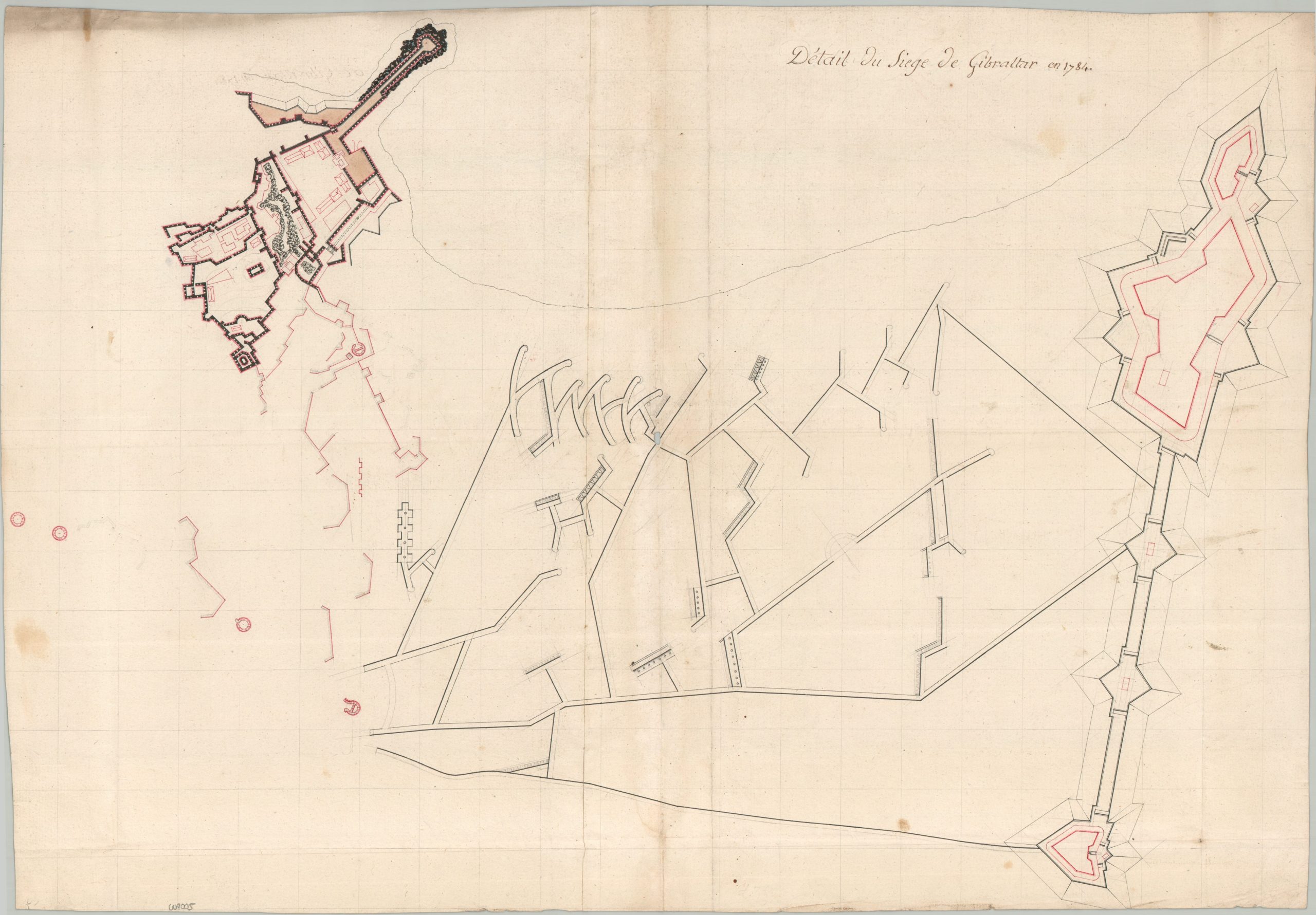
This fascinating French manuscript plan of Gibraltar, titled in French, depicts the British fortifications at the conclusion of the Great Siege of Gibraltar (1779 – 1783), one of the longest and most consequential engagements of the American Revolutionary War. Though dated 1784 in the title, the map was likely prepared shortly thereafter, circa 1785, as a retrospective study of the siege works and defensive positions.
Unlike many contemporary plans of Gibraltar that emphasize the dramatic topography of the Rock, the present example is almost entirely concerned with military engineering. Topographic details and contouring are notably absent, with the focus instead placed on the intricate network of trenches, batteries, and redoubts that defined the conflict. British defensive positions are given particular prominence through heavier line work, greater detail, and more extensive color application, reflecting both their strategic importance and the cartographer’s interest in the successful defense of the peninsula.
Map Details
Publication Date: c. 1785
Author: Anonymous
Sheet Width (in): 26.00
Sheet Height (in): 18.10
Condition: B+
Condition Description: Manuscript plan written in a combination of pencil and ink (red, black, brown). Drawn on two sheets of hand-laid paper that have been glued together and folded. The paper has the watermarks of a Strasbourg lily and a Maltese cross over a "P". There is a small hole in the center of the plan, scattered spotting in the image, and heavy soiling along the edge of the sheet at top left. About good condition overall
$625.00
1 in stock