
Rand McNally House Map of the Bronx
$150.00
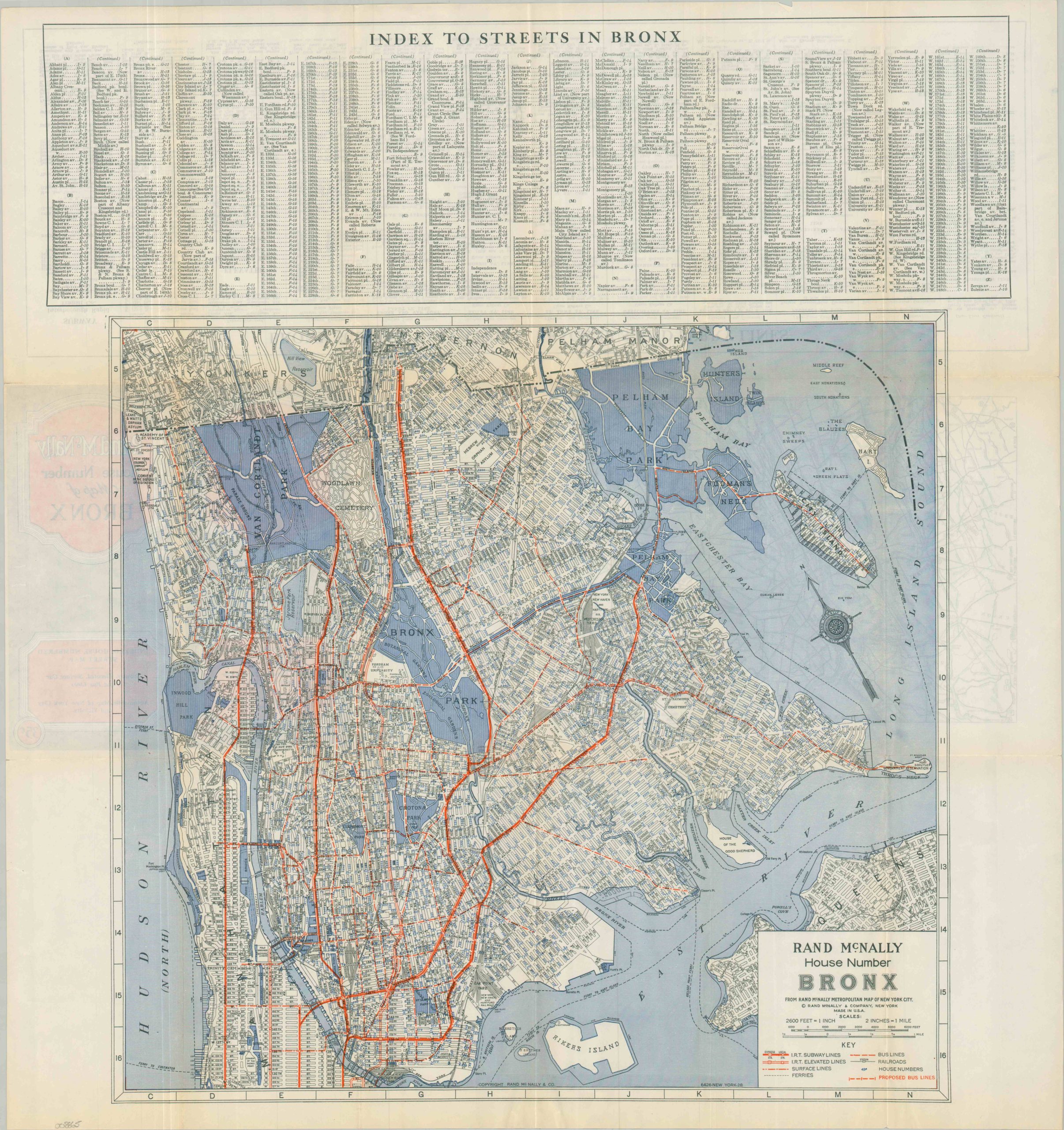
The Bronx near the end of the Roaring ’20s.
1 in stock
Description
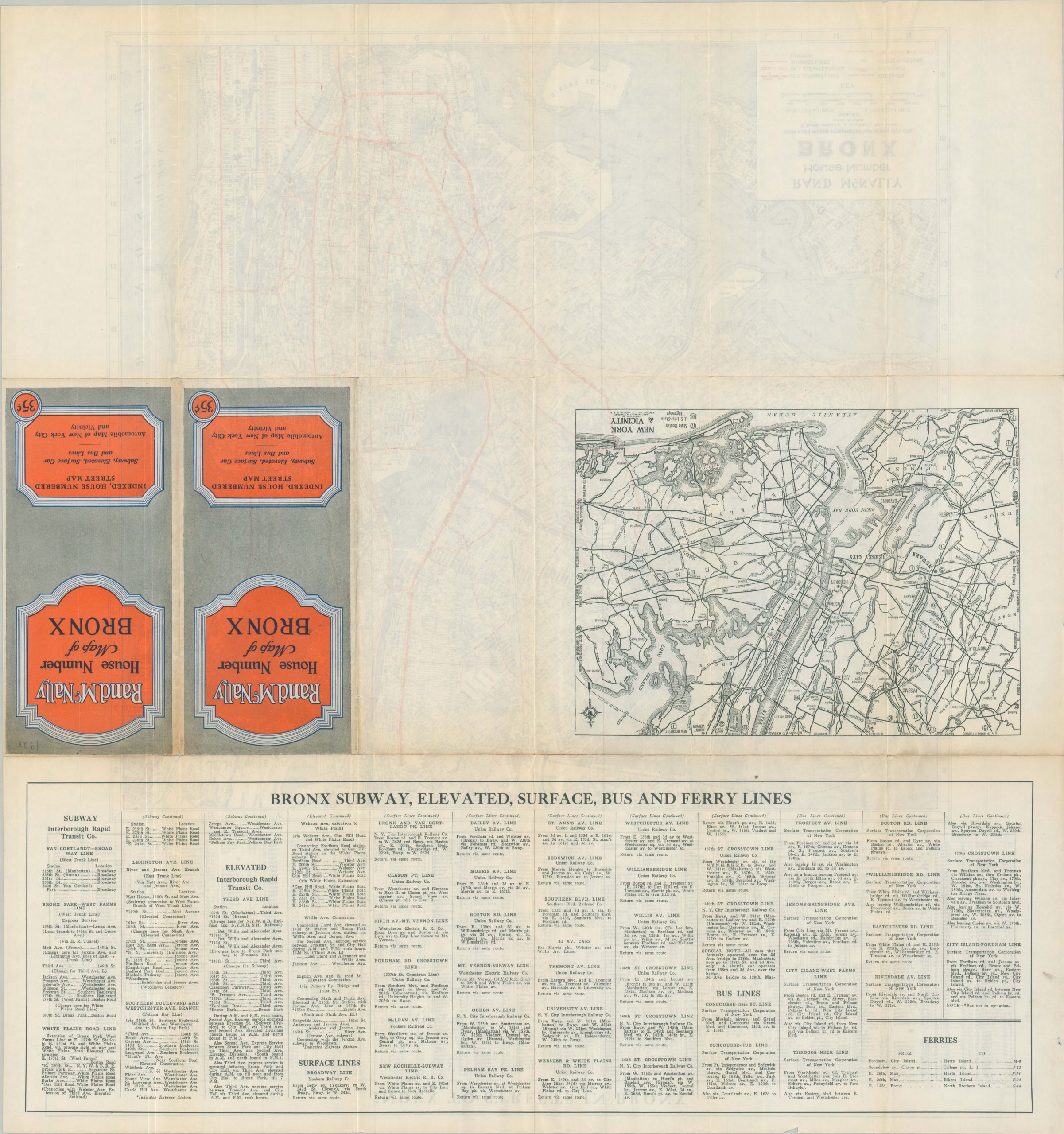
This wonderfully detailed map of the Bronx was published by Rand McNally & Company in 1928. It was issued as a convenient way to navigate the rapidly growing borough, with house numbering, a street index, and a comprehensive transportation overview comprising subways, elevated lines, streetcars, bus lines, railroads, and ferries. The numerous proposed bus routes, dotted red lines, reflect shifting transit preferences.
Scores of important buildings, geographic features, and landmarks are labeled. Of particular interest are the campus of Fordham University, several orphanages (Catholic, Hebrew, Colored, etc.), Riker’s Island (used as a municipal dump), and recently completed Yankee Stadium. The same year as publication, the Bronx Bombers won their second consecutive World Series behind an amazing performance by Babe Ruth (10 for 16). The verso offers an index of the various transportation lines, as well as a small-scale road map of New York and the surrounding area.
Map Details
Publication Date: 1928
Author: Rand McNally & Company
Sheet Width (in): 23.90
Sheet Height (in): 25.50
Condition: A-
Condition Description: Double-sided map brochure with minor wear along folds, including some light toning and small splits at fold intersections. Penciled date on the front cover. Good to very good condition overall.
$150.00
1 in stock