Karte von der Östlichen Tartarey
$75.00
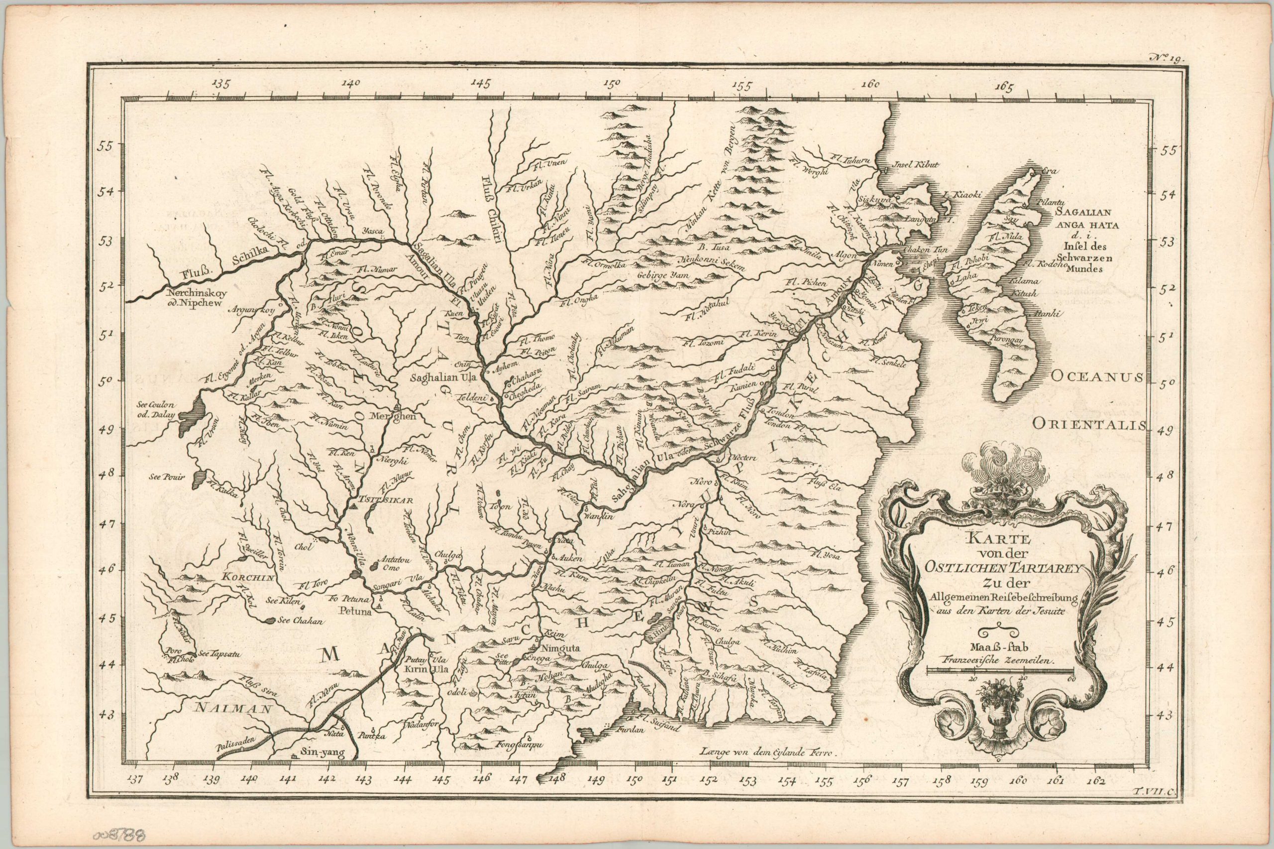
The border between Manchuria and the Qing Empire in the mid-18th century.
1 in stock
Description
This fascinating map of northeastern China shows the contested border region between Manchuria and the rest of the lands of the Qing Empire. The Amur River bisects the region from east to west, with numerous geographic features and settlements labeled throughout. Of particular interest is the depiction of the Willow Palisade, a massive network of ditch and dyke earthen walls intended to restrict movement into Manchuria.
The map was published around 1755 as part of a German edition of Abbé Prévost’s Histoire Générale des Voyages. Originally designed by Jacques Nicholas Bellin, using Jesuit sources (as cited in the title cartouche).
Map Details
Publication Date: c. 1755
Author: Jacques Nicholas Bellin
Sheet Width (in): 14.00
Sheet Height (in): 9.40
Condition: A-
Condition Description: Copperplate engraved map with light marginal wear and creasing. Very good to near fine overall.
$75.00
1 in stock