
Rand McNally Official 1924 Auto Trails Map New York
$95.00
The roads of the Empire State during the mid-1920s.
1 in stock

Description
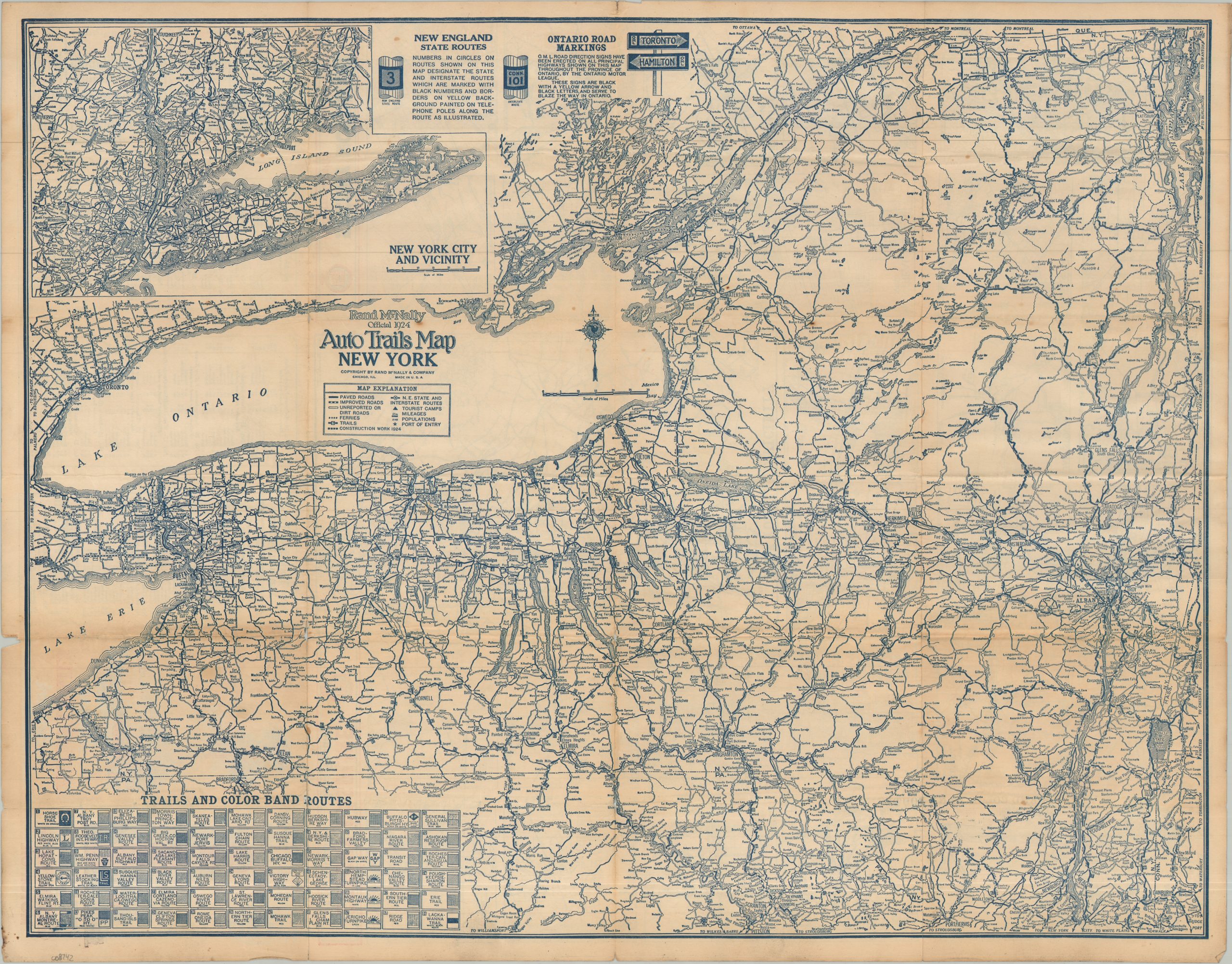
This interesting road map of New York highlights the rather complex system of auto trails and state highways that were in place prior to the introduction of the National Numbered Highway System in 1926. Ontario’s road markers and the New England State Route signs are shown in the upper center, both of which seem straightforward enough. But in the lower left, a myriad of trails are listed, each accompanied by its respective sign or color, which would have been posted on utility poles to help guide the way. One can imagine that these privately sponsored routes were often inefficient and confusingly marked!
The image also takes care to denote the surface conditions – an important consideration for early motorists. Paved roads are solid, improved (likely gravel) roads are hashed, and unimproved (dirt) streets are marked with cased lines. Interestingly, roads under construction in 1924 are also shown, a feature not present on all of Rand McNally’s road maps. The verso features insets of many of New York’s largest urban areas, including Manhattan, Buffalo, Albany, and Syracuse.
The map was published in Chicago in 1924 by the prominent mapmaking firm of Rand McNally. Sponsored and distributed by the Standard Oil Company of New York (SOCONY), with illustrated advertisements for the firm on front covers.
Map Details
Publication Date: 1924
Author: Rand McNally
Sheet Width (in): 27.75
Sheet Height (in): 21.75
Condition: B
Condition Description: Double-sided folding map with moderate wear along original folds, including several splits repaired on verso, a few small holes at the joints, and some discoloration. Minor toning in the margins and a small chip in the lower left. About good condition overall.
$95.00
1 in stock