
Rand McNally Special Auto Road Map Florida
$135.00
Introducing the U.S. Highway System to the Sunshine State.
1 in stock
Description
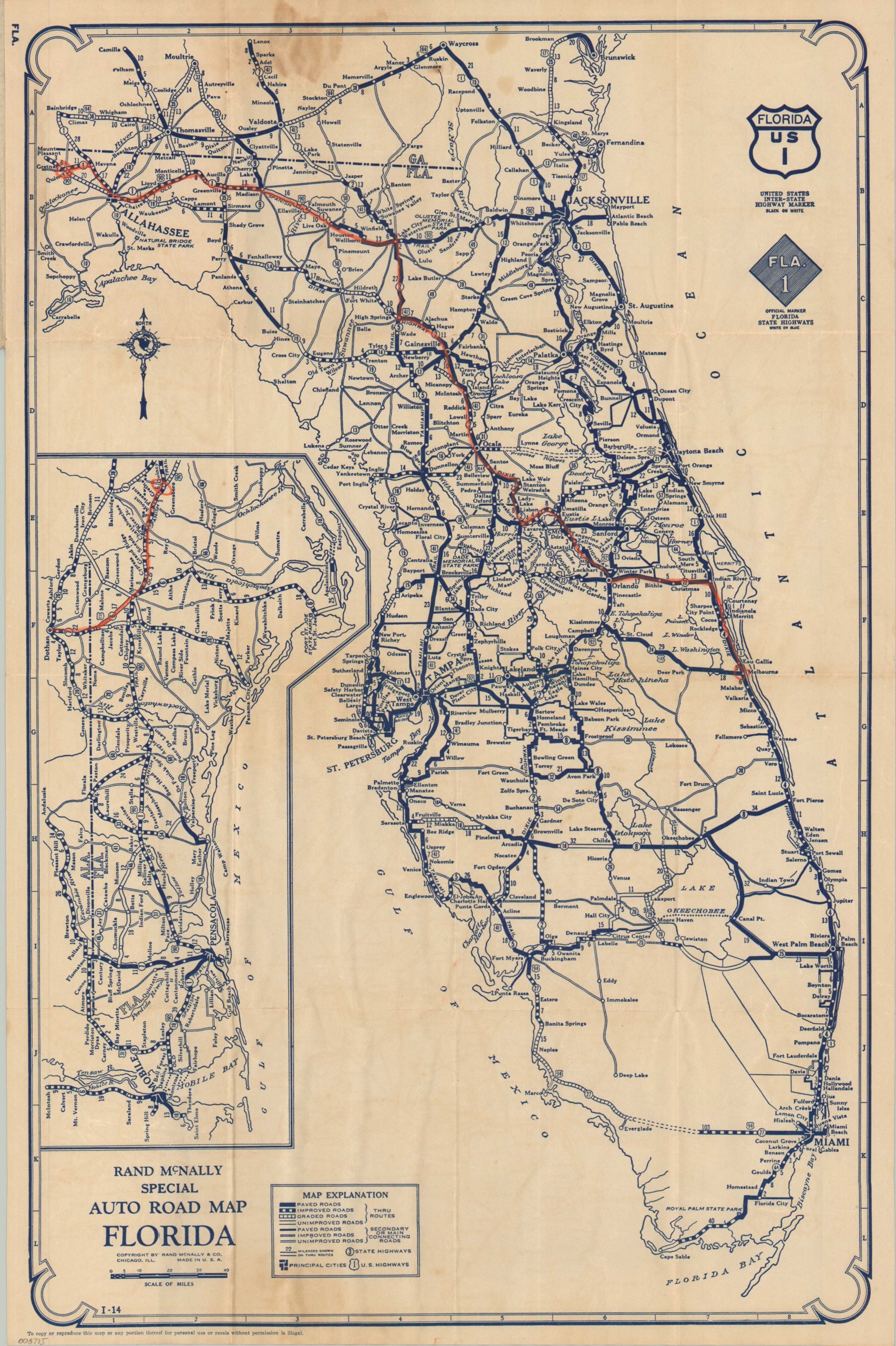
This straightforward pocket map of Florida captures the road network of the Sunshine State shortly after its 1920s Land Boom. Paved, improved, graded, and unimproved roads are noted for Thru Routes and Secondary or Connecting Roads, according to the legend in the lower left. Hard surfaced highways stretch from the state line to Royal Palm Stat Park in the southern peninsula (the Overseas Highway was still under construction). The Everglades remain a large blank spot on the map, while the rest of the panhandle is captured by an inset in the center left.
The map was created by Rand McNally & Company of Chicago in 1927. Distributed by the Chicago Tribune as part of its Public Service Office. Chicagoans were among the many city dwellers who sought to flee to warmer climates during the harsh winters.
Map Details
Publication Date: 1927
Author: Rand McNally & Co.
Sheet Width (in): 15.90
Sheet Height (in): 23.90
Condition: B
Condition Description: Single-sided map folded and affixed to original gray paper covers. A large dampstain in the upper center that also affects the front cover. Lighter scattered soiling adjacent, plus some extraneous wrinkling. An old route marked in orange. About good condition overall.
$135.00
1 in stock