
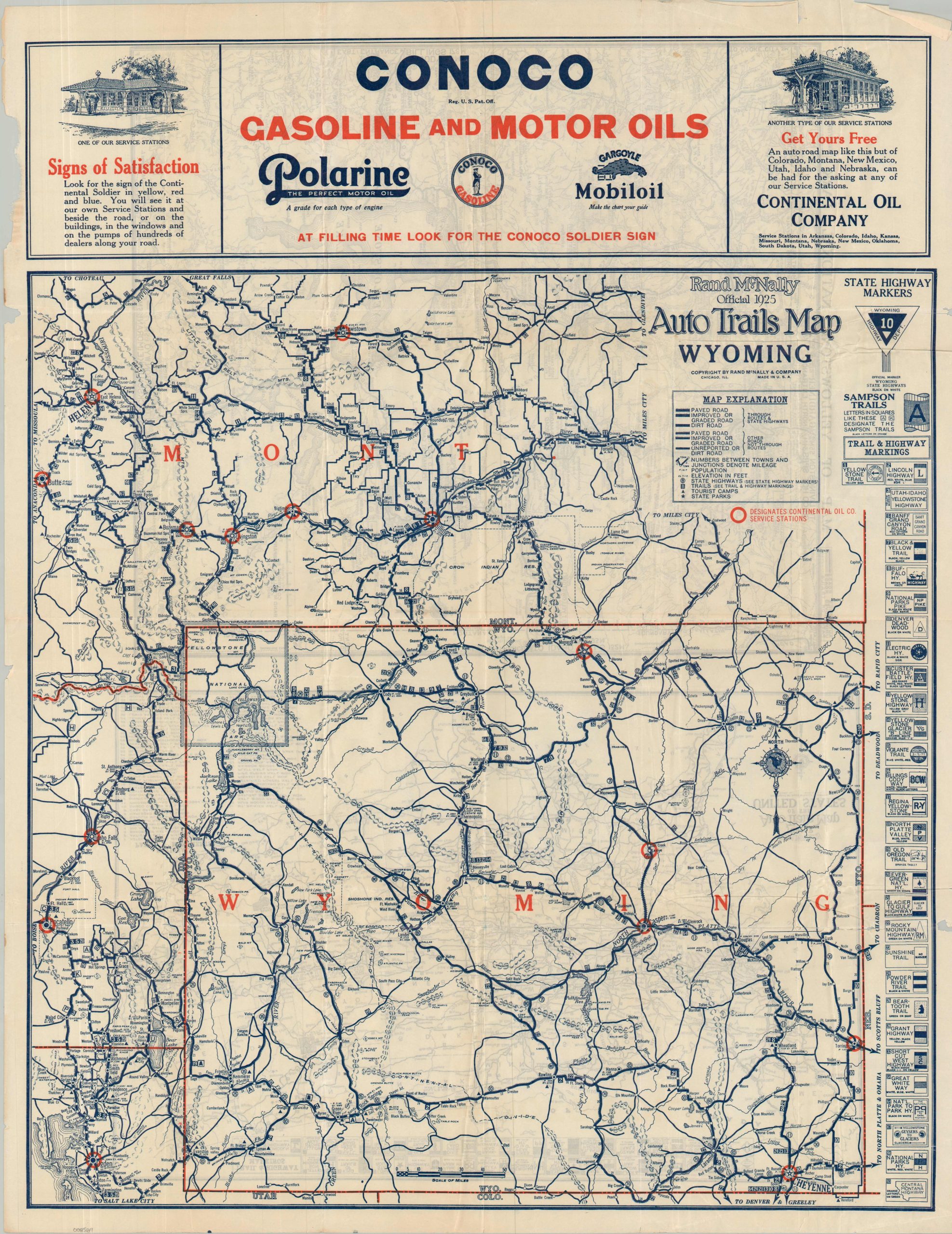
Rand McNally Official 1925 Auto Trails Map Wyoming
$110.00
AT FILLING TIME LOOK FOR THE CONOCO SOLDIER SIGN
1 in stock
Description
This 1925 pocket map, published by Rand McNally and issued “with the compliments” of the Continental Oil Company (Conoco), captures the road network of Wyoming and southern Montana during a period of transitional flux. State Highways and ‘Through Routes’ are shown with thick lines, with different tracks generalizing the surface of the roadway – paved, improved, or unimproved. Thinner lines represent the ‘Through Routes’ – a rather ambiguous term that likely reflects local, rather than interstate, roads. The Wyoming State Highway marker is boldly shown in the upper right.
Other trails and highways, generally sponsored by private associations and regional organizations, are noted immediately below. Of particular interest are the Lincoln Highway (one of the first transcontinental auto routes), the Yellowstone Trail, and the Sampson Trails (an obscure regional network organized by Boise music salesman Charles Sampson).
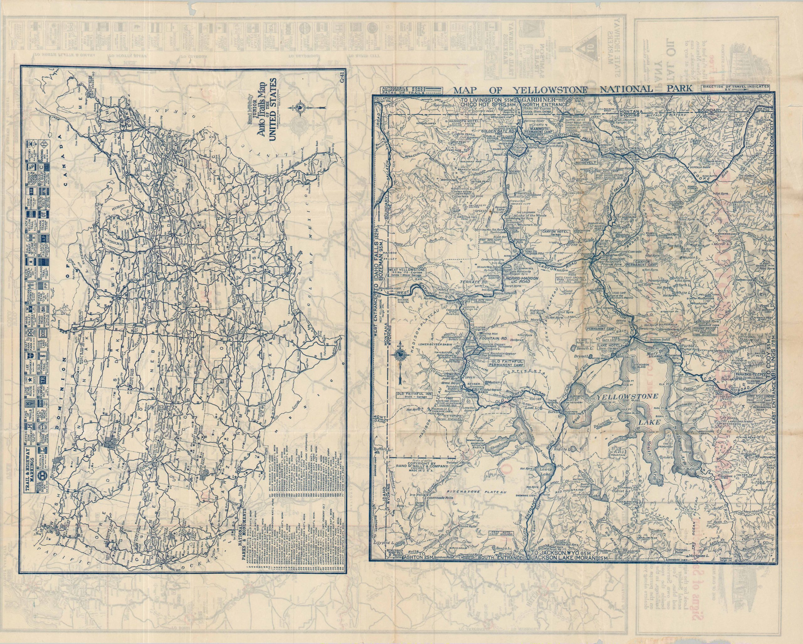
The piece was a promotional tool in addition to a travel guide. Bright red circles pinpoint the location of Conoco Service Stations, while a bold advertisement across the top of the sheet recreates two styles of stations one might expect to encounter on the roadside. The verso presents the Rand McNally Junior Auto Trails Map of the United States, as well as a densely informative road map of Yellowstone National Park.
Map Details
Publication Date: 1925
Author: Rand McNally & Company
Sheet Width (in): 21.90
Sheet Height (in): 28.00
Condition: B
Condition Description: Double-sided map, extract from original paper wraps (sadly lost). Irregular chip in the upper left margin, along with a few small chips on the right side. Moderate creasing and wrinkling throughout. Good condition overall.
$110.00
1 in stock