
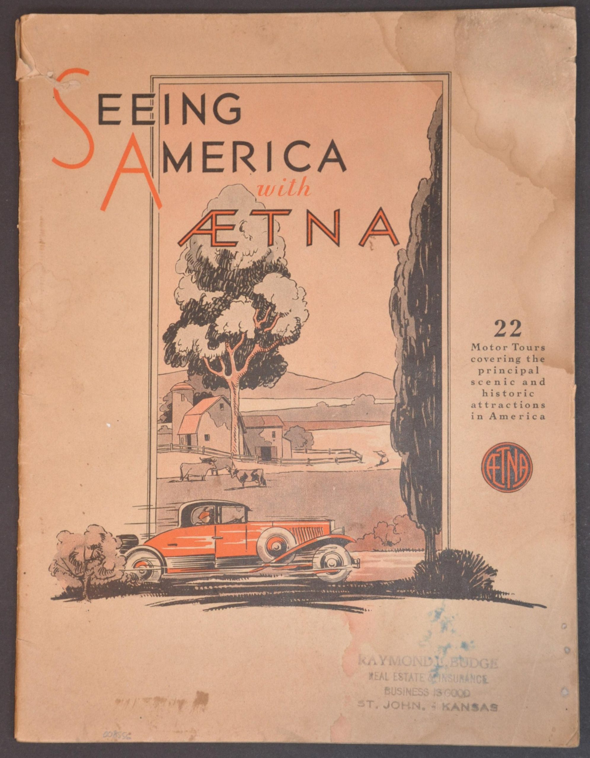
Seeing America with Aetna
$95.00
A Depression-era guide to America’s most popular automobile tours.
1 in stock
Description
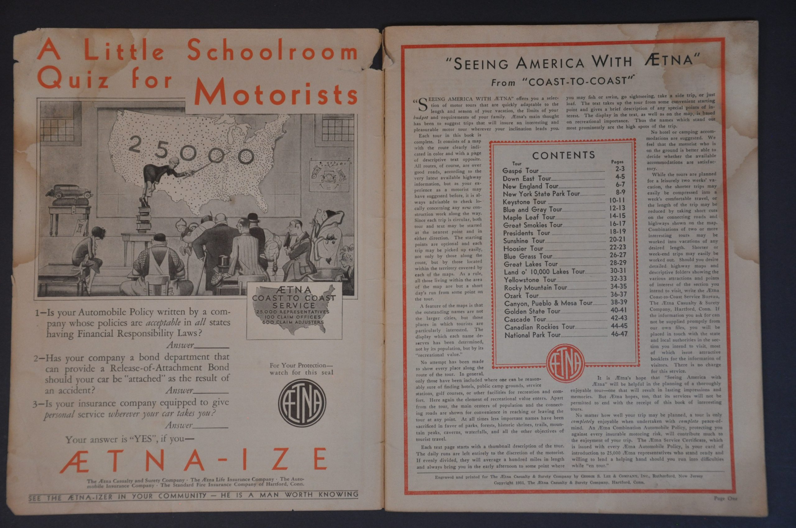
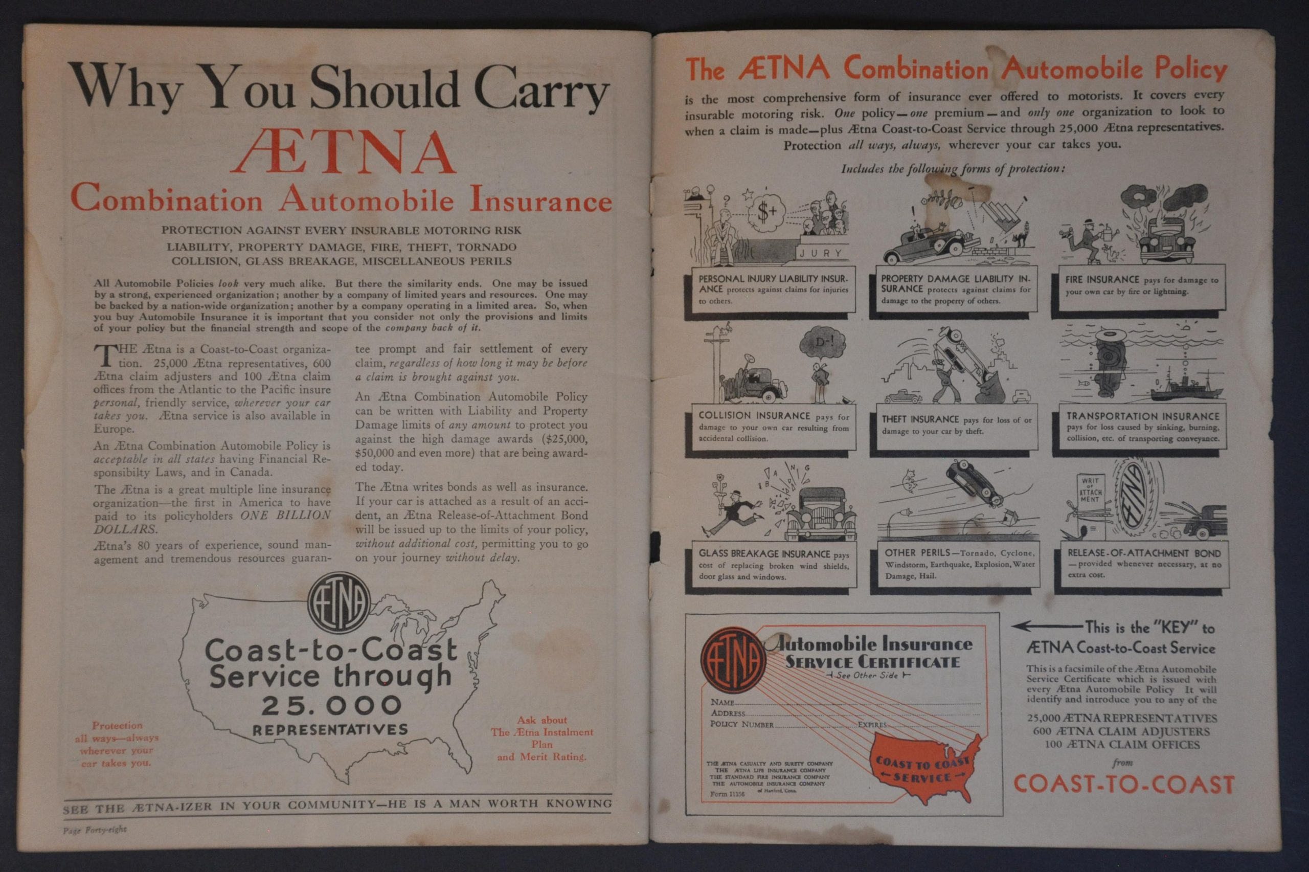
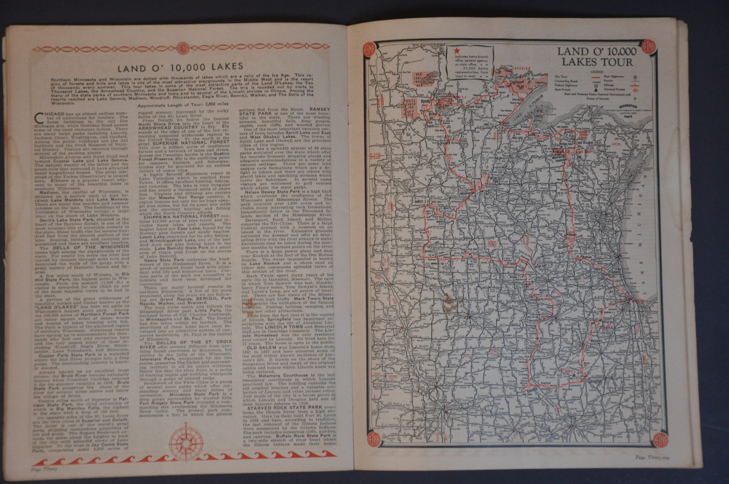
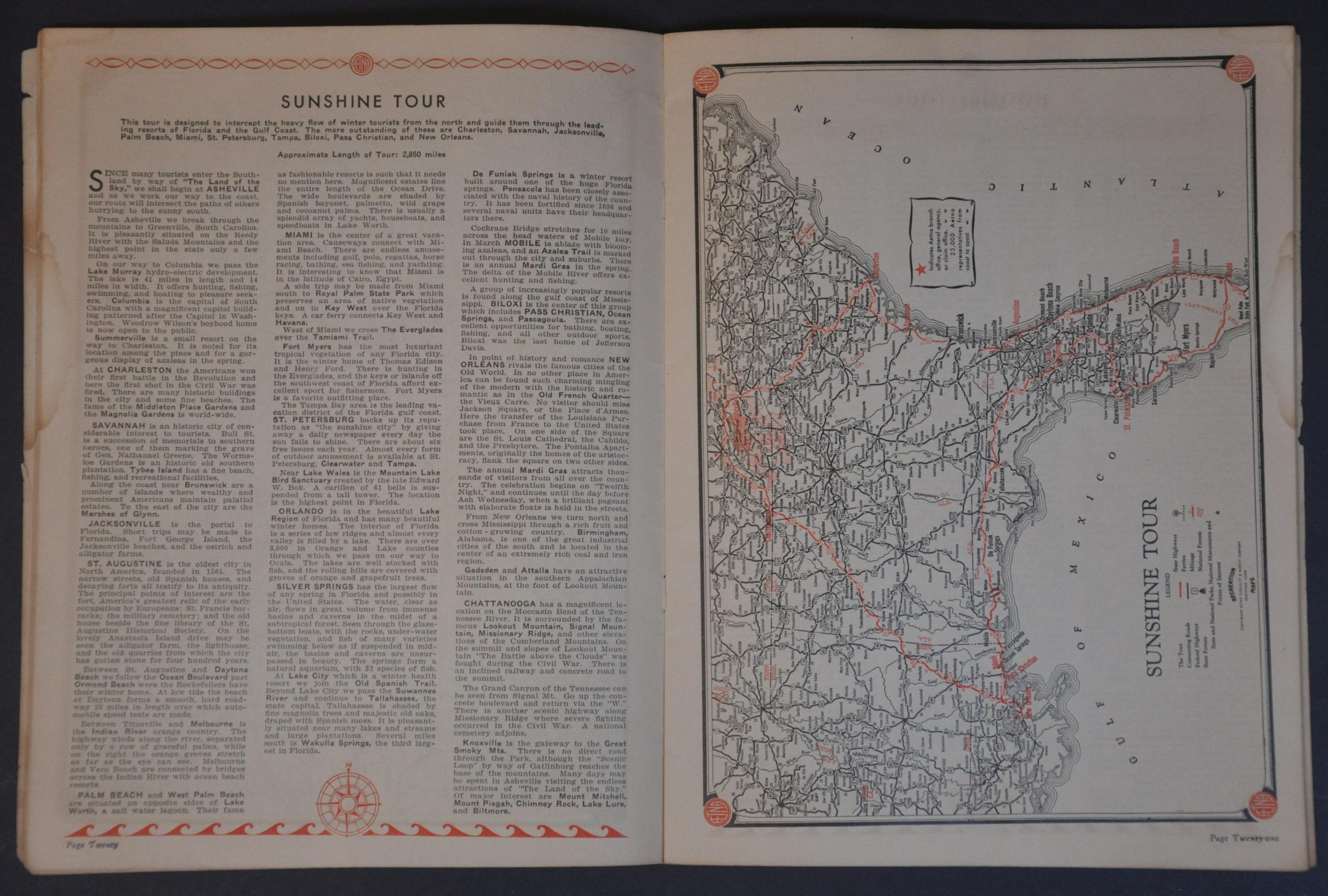
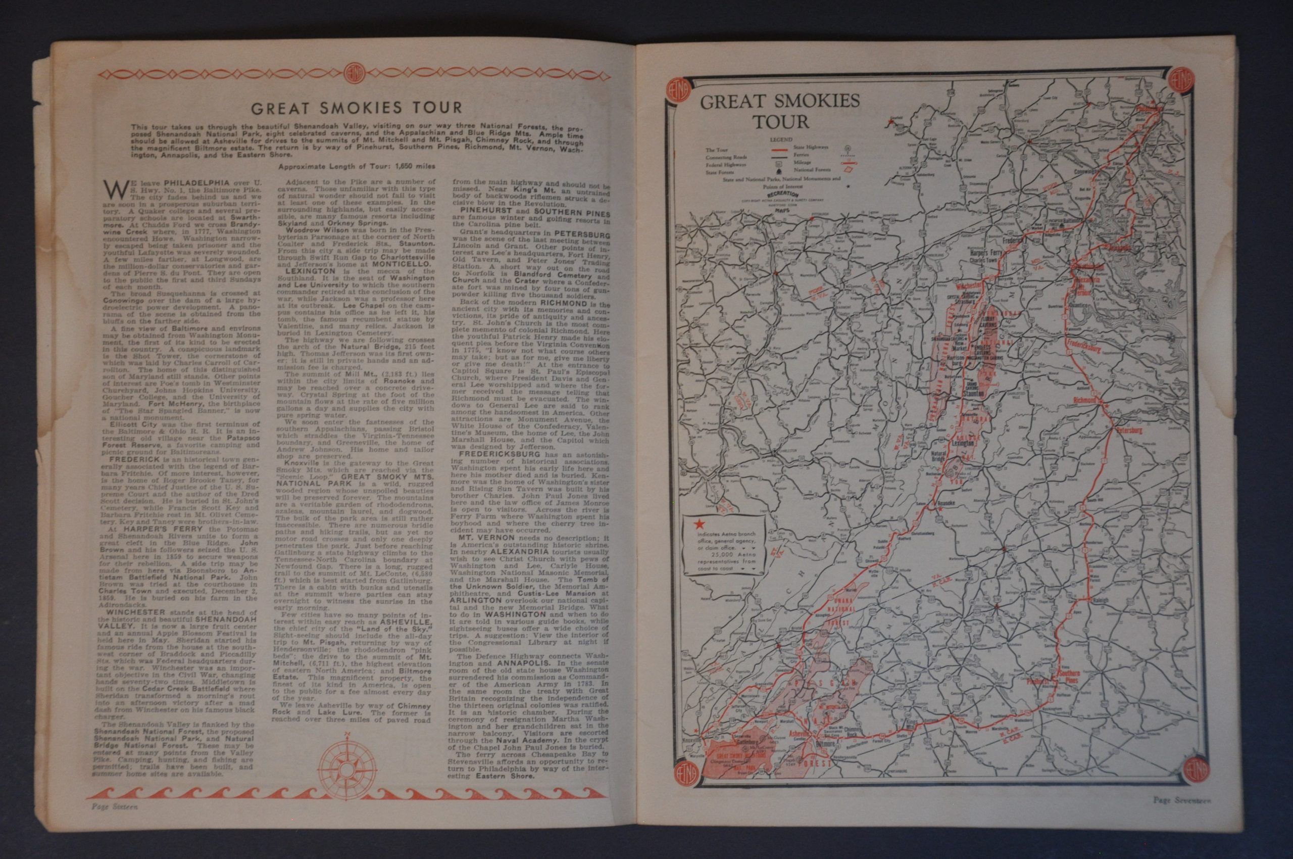
This lovely look at automobile tourism in the Prohibition Era was copyrighted in 1931 by the Aetna Casualty & Surety Company in Hartford, Connecticut. The promotional atlas encourages Americans to hit the road, but only with the complete peace of mind offered by Aetna’s coverage. The vast majority of the United States and southern Canada are covered across the nearly two dozen recommended tours – each taking a leisurely two weeks and covering scores, sometimes hundreds, of miles.
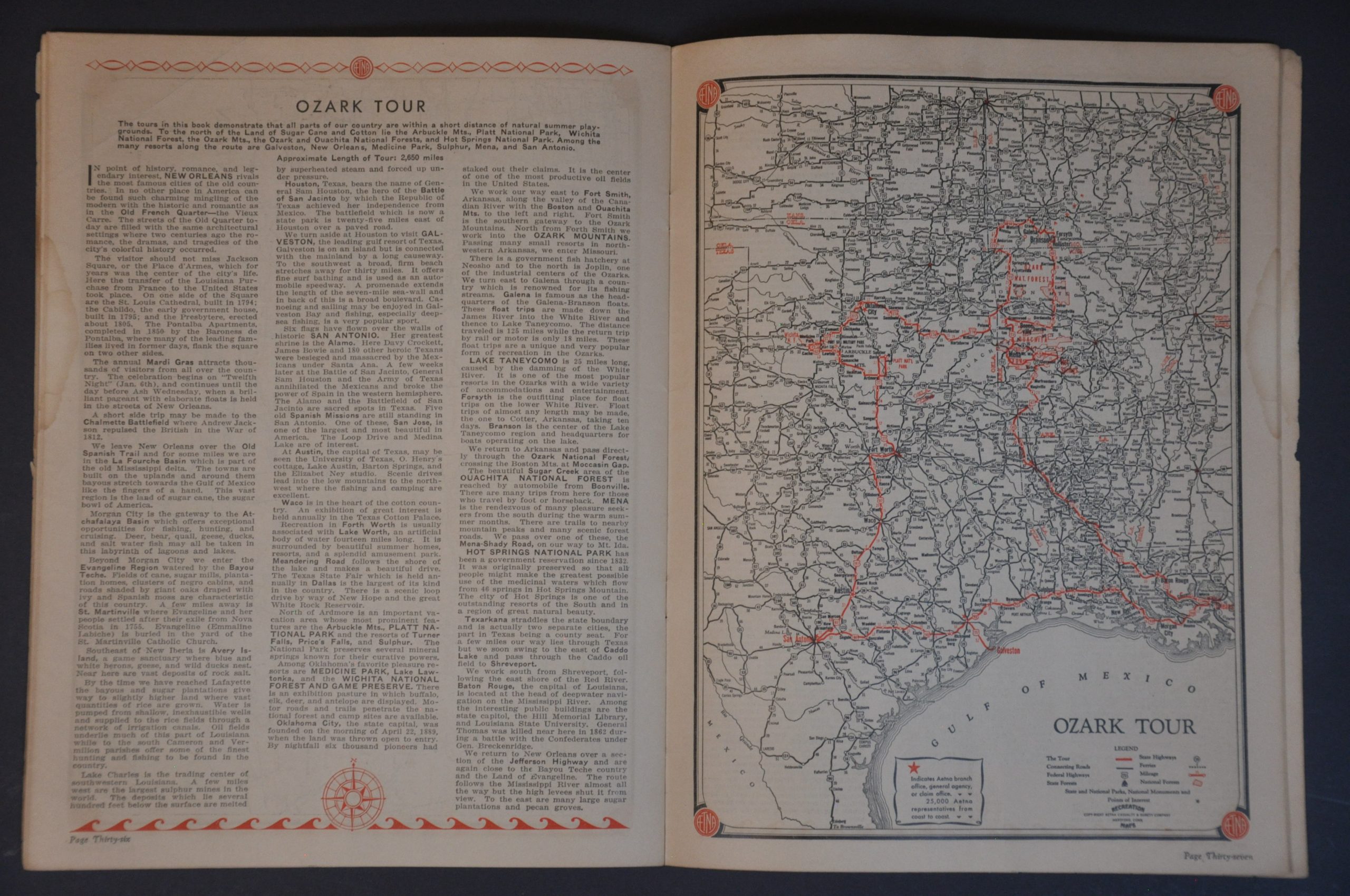
Single-page road maps, designed by George S. Lee & Company of Rutherford, NJ, highlight the suggested route in bright red, noting the specific highways/state routes, distances between points, and various points of interest. Aetna branch offices are pinpointed with small stars. Also colored in red are the names of the different towns/stops described in the accompanying text, which offers a delightful window into the priorities of vacationers in the early 1930s.
Map Details
Publication Date: 1931
Author: Aetna Casualty & Surety Company
Sheet Width (in): 8.25
Sheet Height (in): 11.20
Condition: B
Condition Description: 48 pp. atlas with stapled binding and paper wraps, though the spine has almost completely separated and been repaired with some archival tape. Heavy soiling on the wraps and moderate damp staining affects the content, though mostly confined to the margins. Between fair and good condition.
$95.00
1 in stock