
Street Map of Salt Lake City
$75.00
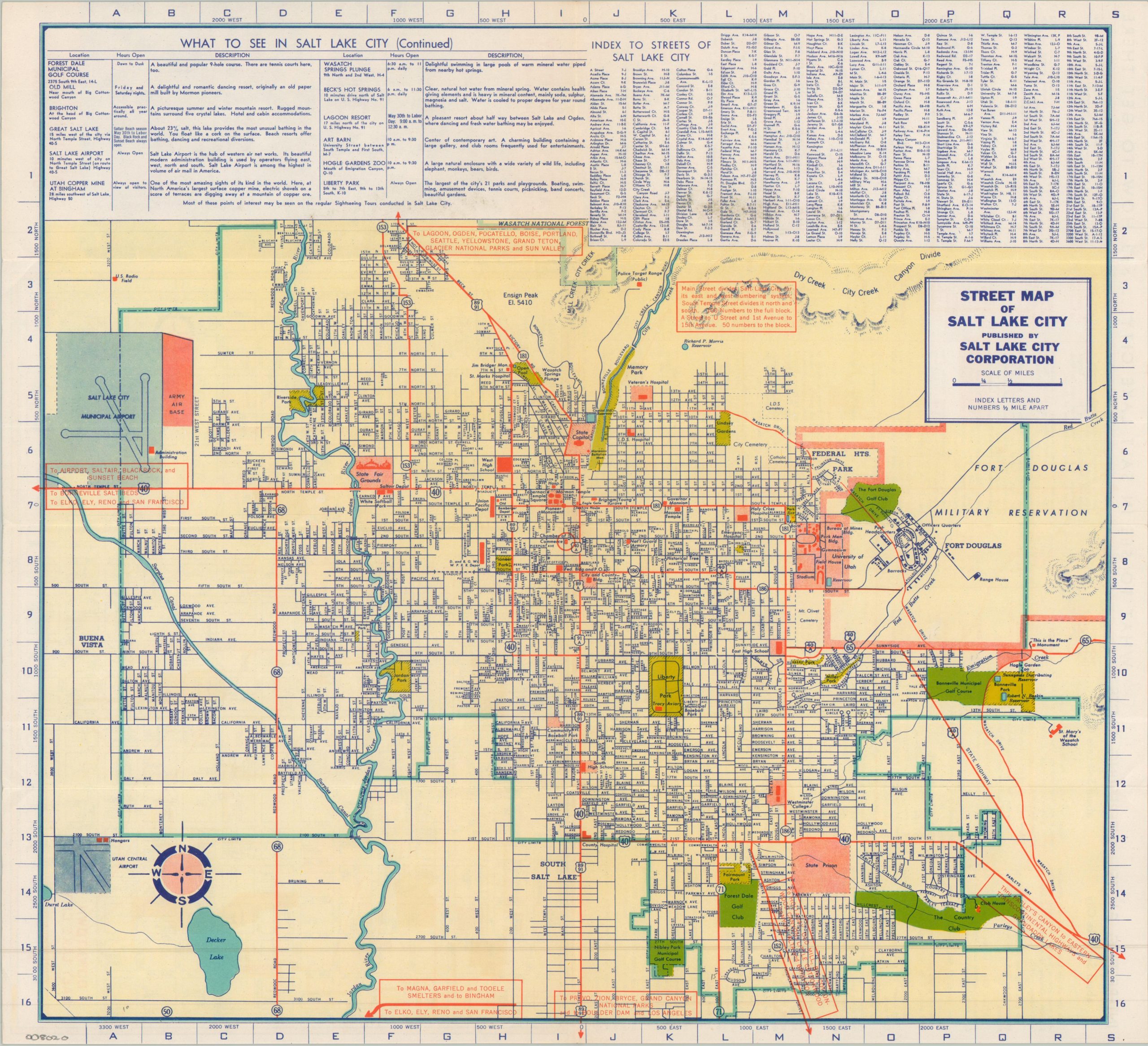
WWII-era map of Salt Lake City.
1 in stock

Description
This informative street map of Salt Lake City was published locally by the city around 1942. Vibrant colors highlight city limits, parks, country/golf clubs, the two airports (Salt Lake City Municipal and Utah Central), and a variety of locations of interest, including the State Fairgrounds, University of Utah, Mormon Temple, and State Prison.
Fort Douglas and the Army Air Base were among several military installations that saw dramatically increased activity during World War II. A large-scale map of downtown Salt Lake City can be found on the verso, along with interesting facts and a list of attractions.
Map Details
Publication Date: c. 1942
Author: Salt Lake City Corporation
Sheet Width (in): 17.25
Sheet Height (in): 15.75
Condition: A-
Condition Description: Double-sided brochure with creasing and light wear along original folds. Faint soiling and wrinkling in the margins. Good to very good condition overall.
$75.00
1 in stock