
Rand McNally New Library Atlas Map of North America
$75.00
An attractive antique map of North America, printed the same year the Titanic sank in the North Atlantic.
1 in stock
Description
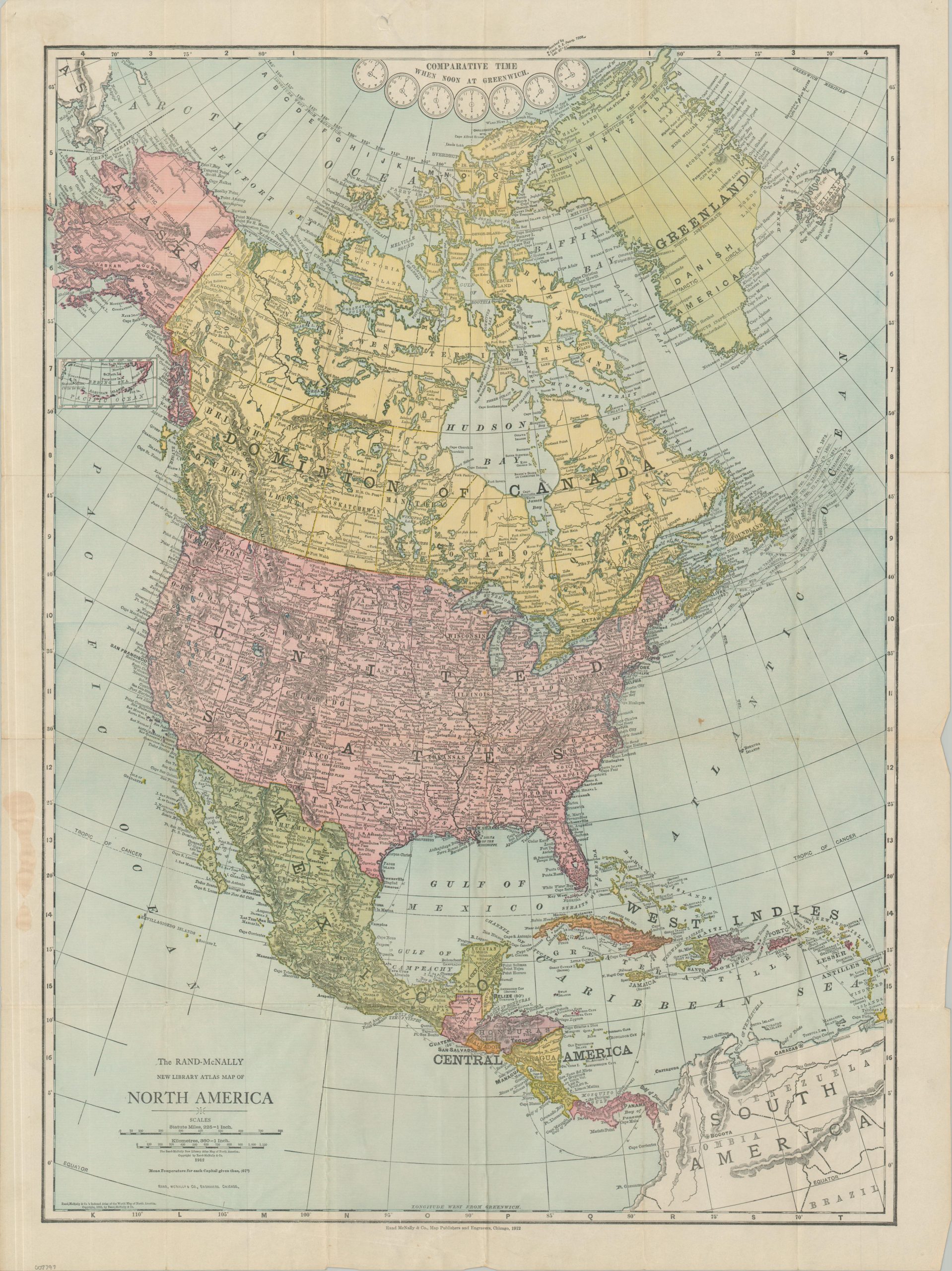
This detailed political map of North American was published in Chicago by the prominent firm of Rand McNally & Co. in 1912. A color lithographed sheet highlights the national borders of the Dominion of Canada, the United States (and its Alaska Territory), Mexico, Danish America (Greenland), and numerous states throughout Central America and the West Indies. Basic topography is depicted in hachure and an interesting variety of settlements, including remote outposts, historic sites, and major cities, are labeled throughout the image. Telegraph routes are also noted. The same year as printing, the RMS Titanic tragically sunk in the North Atlantic, southeast of Newfoundland.
Map Details
Publication Date: 1912
Author: Rand McNally & Co.
Sheet Width (in): 20.75
Sheet Height (in): 27.75
Condition: B+
Condition Description: Color lithographed pocket map, printed on a somewhat thin sheet, folded into 30 panels, and affixed to original blue cloth boards. Splits and toning along folds, some discoloration in the left margin (from the adhesive used), and minor marginal wear (creased corners and a few closed tears). One small spot visible off the Atlantic coast. Good to very good condition overall.
$75.00
1 in stock