
Chicago Lake Front
$125.00
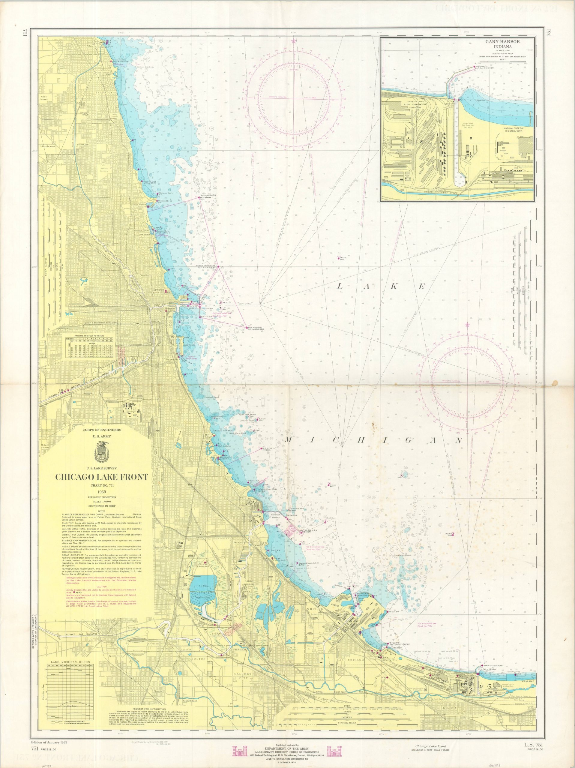
A finely detailed map of Lake Michigan and the adjacent shoreline around Chicago.
1 in stock
Description
In the late 1960s, the shoreline of Lake Michigan in the Chicago region presented a striking cross-section of dense manufacturing, urban living, and transportation infrastructure, with a few expanding recreational areas. This map of the lakefront between Wilmette and Gary Harbor was published in 1969 by the U.S. Army Corps of Engineers and reflects the dense industry and navigability of the region.
Depth soundings are noted throughout the lake, along with specific locations of buoys/beacons (overprinted in purple to provide the latest accurate information). Details along the adjacent shoreline, including the transportation network, major industries, and a basic street grid.
Map Details
Publication Date: 1969
Author: U.S. Army Corps of Engineers
Sheet Width (in): 29.90
Sheet Height (in): 39.90
Condition: B
Condition Description: Creased and moderately toned/soiled along a vertical and horizontal fold line. Scattered soiling/spotting most evident along the center right and light foxing in the lower right. Old ink pricks visible in the MICHIGAN of Lake Michigan. Good condition overall. Blank on verso.
$125.00
1 in stock