
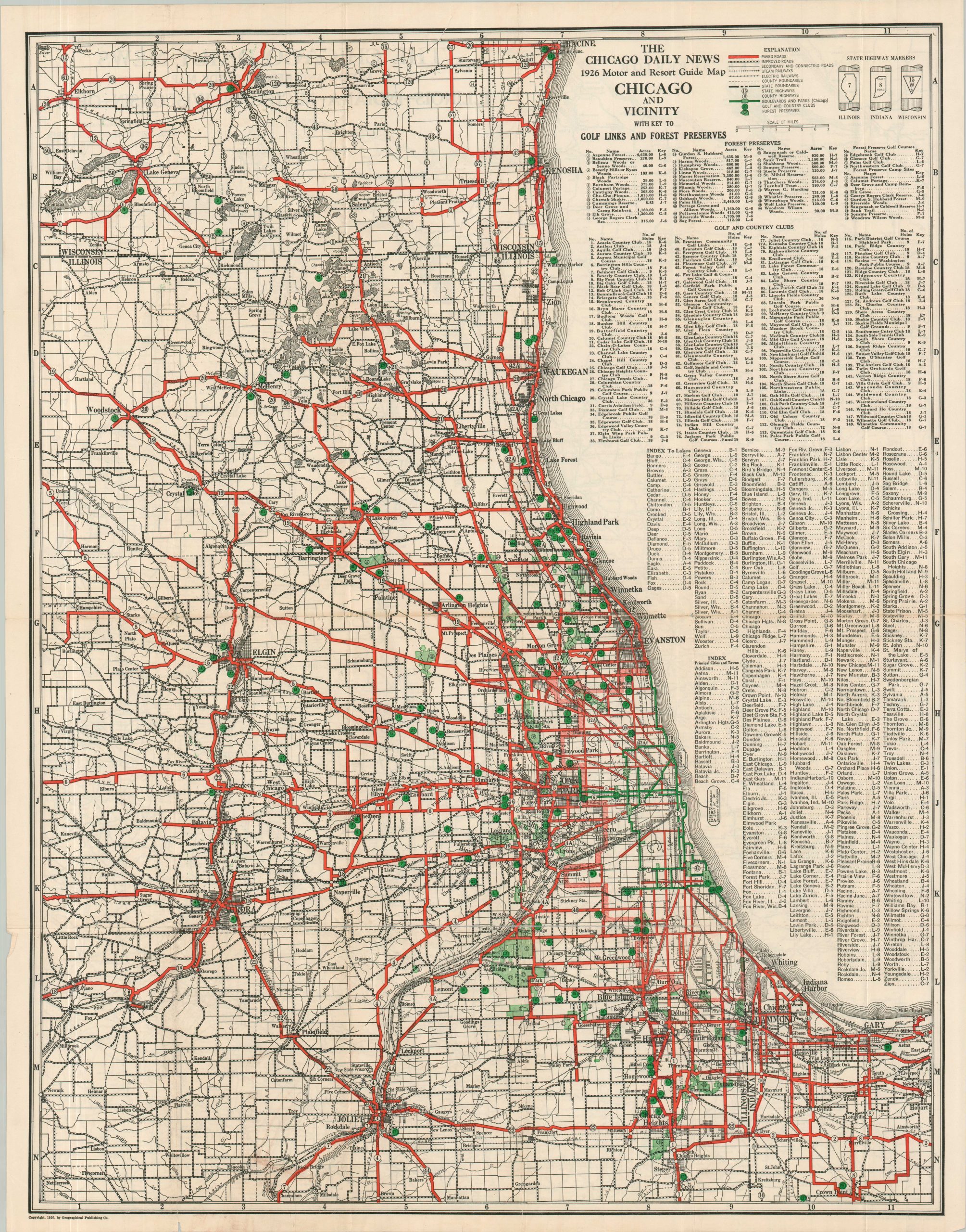
Chicago Daily News 1926 Motor and Resort Guide Map Chicago and Vicinity with Key to Golf Links and Forest Preserves
$225.00
Prohibition-era road map of the area around Chicago.
1 in stock
Description
This interesting map of the Chicago ‘Region’ was published by the Chicago Daily News in 1926, the year following Al Capone’s rise to leader of the Chicago Outfit. Golf courses and country clubs, playgrounds of the wealthy during the Roaring ’20s, are pinpointed with bright green dots and listed in an accompanying index. St. Andrews (in West Chicago), the oldest family-owned and operated course in Illinois, opened the same year as printing.
Paved roads (convenient for bootleggers) are highlighted in red, though the tree-lined boulevards remain green as part of the city-wide park system. State highway markers for Wisconsin, Indiana, and Illinois are noted in the upper right – the U.S. Numbered Highway System consolidating the signage was introduced later that year.
Map Details
Publication Date: 1926
Author: Geographical Publishing Company
Sheet Width (in): 21.75
Sheet Height (in): 27.75
Condition: A-
Condition Description: Color lithographed map creased along original folds, showing moderate wear and faint toning along the centerfold. A bit of marginal wear and some clean separation that has been repaired on the verso with archival tape. Very good condition overall.
$225.00
1 in stock