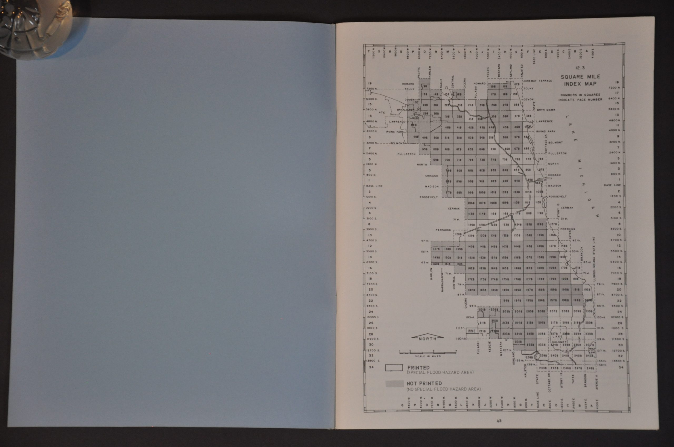
City of Chicago Special Flood Hazard Areas
$50.00
Areas prone to flooded across Chicago during the early 1970s.
1 in stock


Description
This 1974 report identifies the special flood hazard areas across the city limits of Chicago. An index map is followed by dozens of large-scale plans that show various zoning districts, important infrastructure, and large buildings.
Map Details
Publication Date: 1974
Author: Department of Housing and Urban Planning
Sheet Width (in): 8.50
Sheet Height (in): 11.00
Condition: A
Condition Description: Unpaginated assortment (probably 100 maps total) bound with staples in original blue covers. Spine is slightly faded, but otherwise in very good condition.
$50.00
1 in stock