
Scenic Map of the Pacific Coast Southern Pacific Lines
$275.00
“All the Pacific Coast is a Show Place”
1 in stock


Description
This lovely topographic panorama of the Pacific Coast was illustrated by W.H. (William Howell) Bull (signed, lower right) and published by the Southern Pacific Company in 1917. Conveniently for the railroad, the geographically distorted image extends well away from the coastline and includes portions of profitable routes into Nevada and Arizona. Southern Pacific routes are shown with thick black lines (proposed are hashed), and dozens of small vignettes reflect dozens of accessible landmarks, historic sites, and recreational areas. Small crosses represent old Spanish missions.
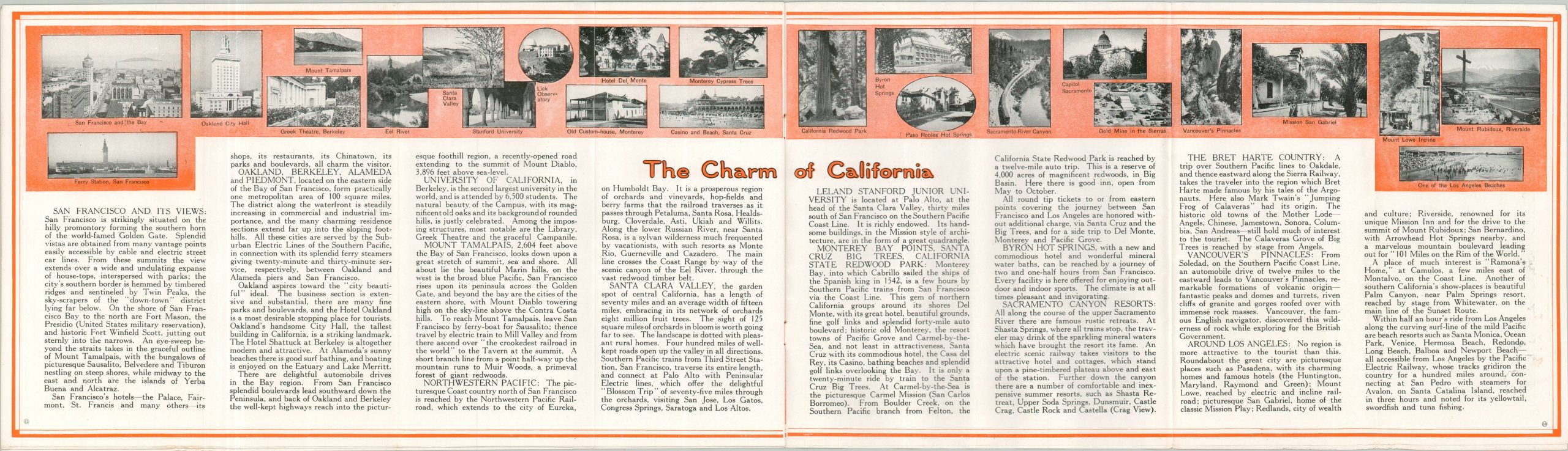
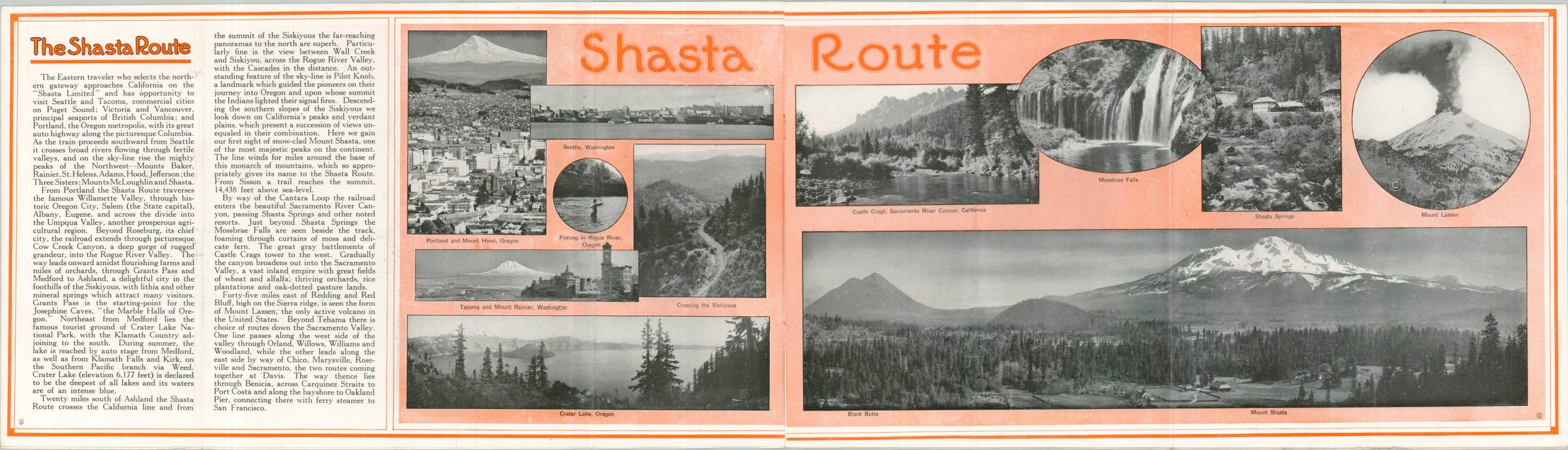
The map was issued as a centerfold in a larger promotional brochure advertising the western lines of the Southern Pacific. Photographs and text outline the numerous charms of the region, accessible via the Four Gateways to the Pacific Coast; the Ogden Route, Shasta Route, El Paso Route, and Sunset Route.
Map Details
Publication Date: 1917
Author: W.H. Bull
Sheet Width (in): 9
Sheet Height (in): 32.5
Condition: A-
Condition Description: Centerfold map (size given) in a 16 pp. folding brochure with stapled bindings and original illustrated paper wraps. Rusted staples and a bit of light wear, especially on the outer covers, but overall in good to very good condition.
$275.00
1 in stock