
Map of Kewaunee Harbor, Wis.
$95.00
Improving the harbor at Kewaunee, Wisconsin at the turn of the century.
1 in stock

Description
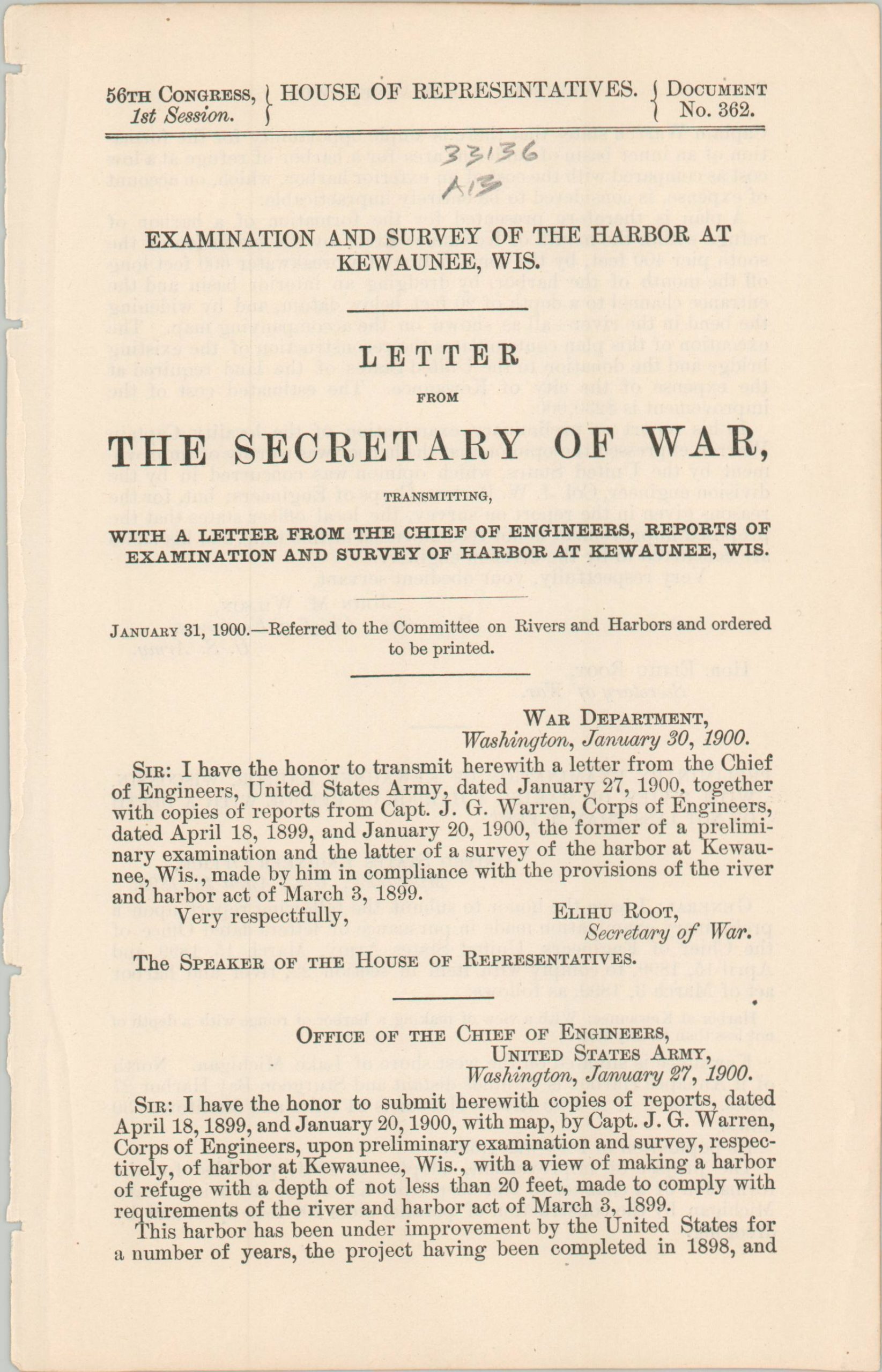
This early 20th-century map and report were compiled by Captain J.G. Warren of the Army Corps of Engineers and published in a Congressional volume by the Government Printing Office in 1900. The seven pages of text described proposed improvements to the harbor of Kewaunee, Wisconsin; including a new breakwater, crib extension, and extensive excavations that would create a permanent area of refuge, away from the tumultuous winds and water of Lake Michigan.
The accompanying map, drawn by W.K. Means, highlights the primary elements of the proposal in red. Other features of interest include one bridge over the Kewaunee River (marked to be removed), the U.S. lifesaving station, and extensive railyards. Coastal hazards include two old piers and several boulders, clearly marked amidst the scores of depth soundings.
Map Details
Publication Date: 1900
Author: W.K. Means
Sheet Width (in): 28
Sheet Height (in): 20.5
Condition: A
Condition Description: Large folding map (size given) disbound from a government report. Creasing along folds and an uneven binding margin (lower left), but overall in near fine condition. Includes 7 pages of text.
$95.00
1 in stock