
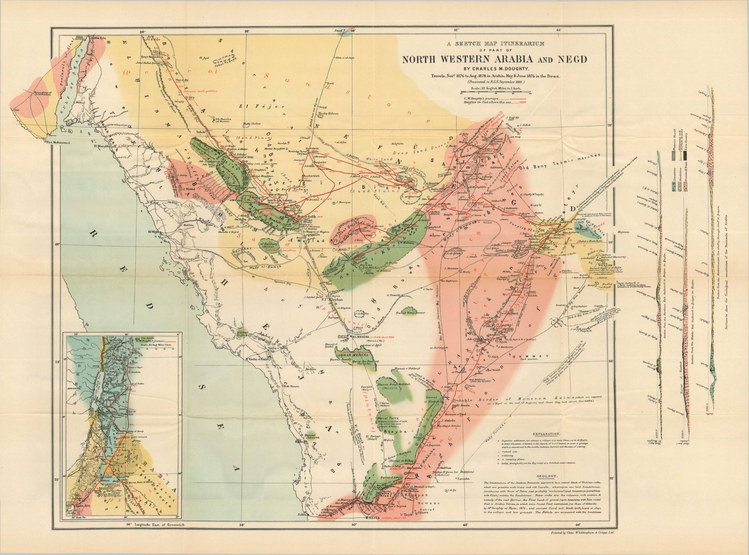
A Sketch Map Itinerarium of Part of North Western Arabia and Negd
$275.00
Mapping the epic Arabian adventures of Charles Montagu Doughty.
1 in stock
Description
“It is the first and indispensable work upon the Arabs and the desert; and if it has not always been referred to, or enough read, that has been because it was excessively rare.” – Introduction, T.E. Lawrence.
This influential map of the Hejaz was published to accompany Charles Doughty’s work Travels in Arabia Deserta. It shows the route of Doughty’s explorations during the mid-1870s in red, beginning with a journey through Palestine (shown in an inset, lower left) and ending at the coastal city of Jeddah. Scattered annotations offer fascinating details about historic sites and the physical landscape. Large splashes of color show the composition of the bedrock, while the right margin contains a geological cross-section of the region.
The first edition of Travels in Arabia Deserta was published in 1888. This the third edition, published in 1921 as a single volume by Boni & Liveright of New York. Map printed by Charles Whittingham & Griggs, Ltd. The reprinting was due in large part to promotional efforts by T.E. Lawrence, who wrote the glowing introduction and considered the book an invaluable guide to the desert and its people (“a bible of its kind”).
Map Details
Publication Date: 1921
Author: Charles M. Doughty
Sheet Width (in): 26.75
Sheet Height (in): 20
Condition: A-
Condition Description: Color lithographed map printed on thin paper, sharply creased and lightly wrinkled along original fold lines. Small pinholes at fold intersections. Includes a nice copy of Travels in Arabia Deserta, third 'thin paper' edition, 683 pp. with several fold-outs and an introduction. Light wear, consistent with age and use. Good to very good condition overall.
$275.00
1 in stock