
Russian Empire
$60.00
Russian imperial might at the start of the 19th century.
1 in stock
Description
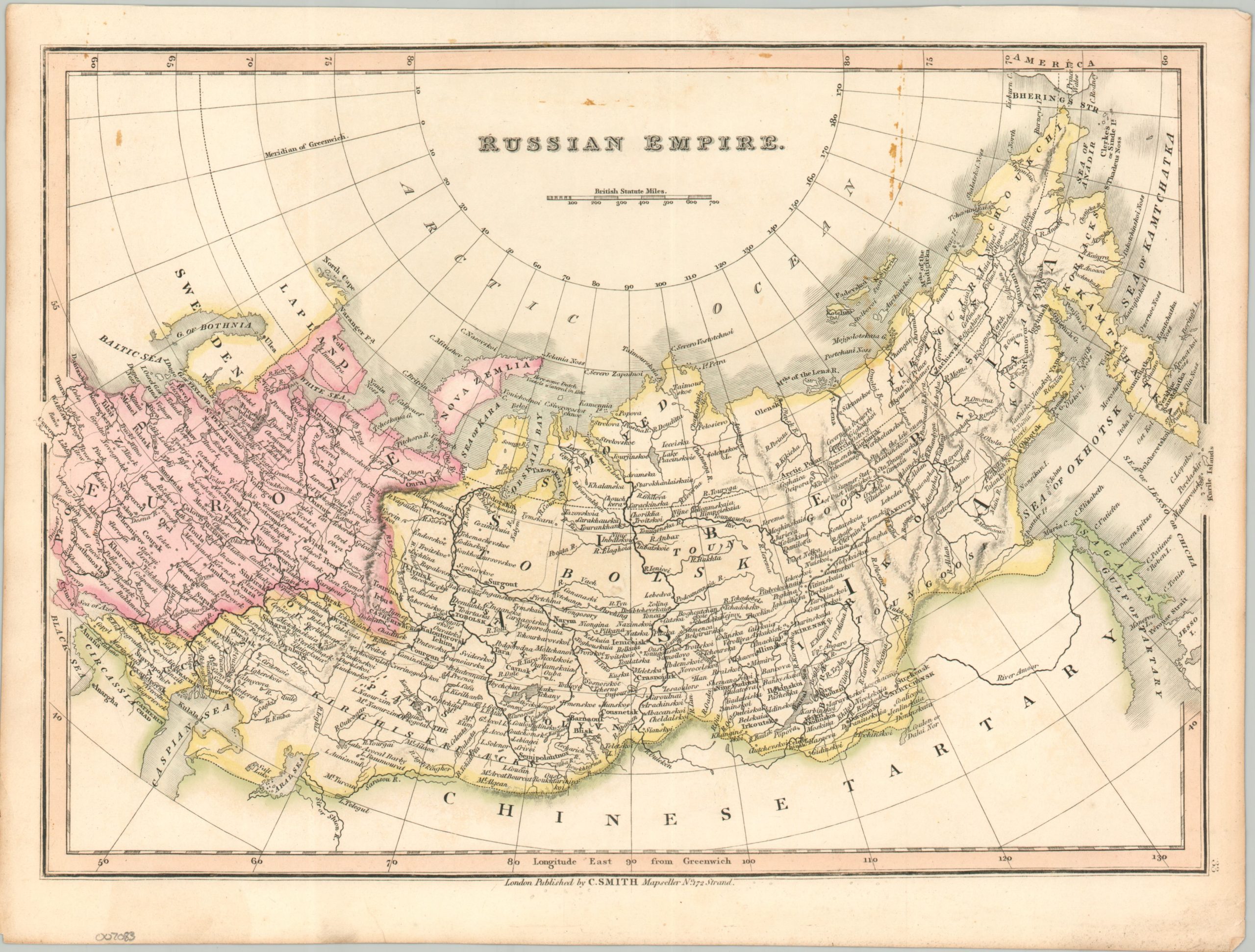
This attractive early 19th-century map shows the breadth of the Russian Empire, stretching from the Black and Baltic Seas to Bering’s Strait. The Asian and European components are highlighted in yellow and pink, respectively, while toponyms identify a fascinating variety of settlements, religious sites, geographic features, and ethnic groups. The map was published in London by Charles Smith around 1808, during the reign of Alexander I and the Napoleonic Wars.
Map Details
Publication Date: 1808
Author: Charles Smith
Sheet Width (in): 15.6
Sheet Height (in): 11.75
Condition: B+
Condition Description: Engraved map on sturdy paper with original body color. Scattered surface staining visible in the upper center and right, adjacent to the title. Minor wear and toning visible in the margins. About good condition overall.
$60.00
1 in stock