
Carl Jugel’s Post u. Reise Karte von Deutschland
$150.00
The complex organization of the German Confederation in the mid-19th century.
1 in stock

Description
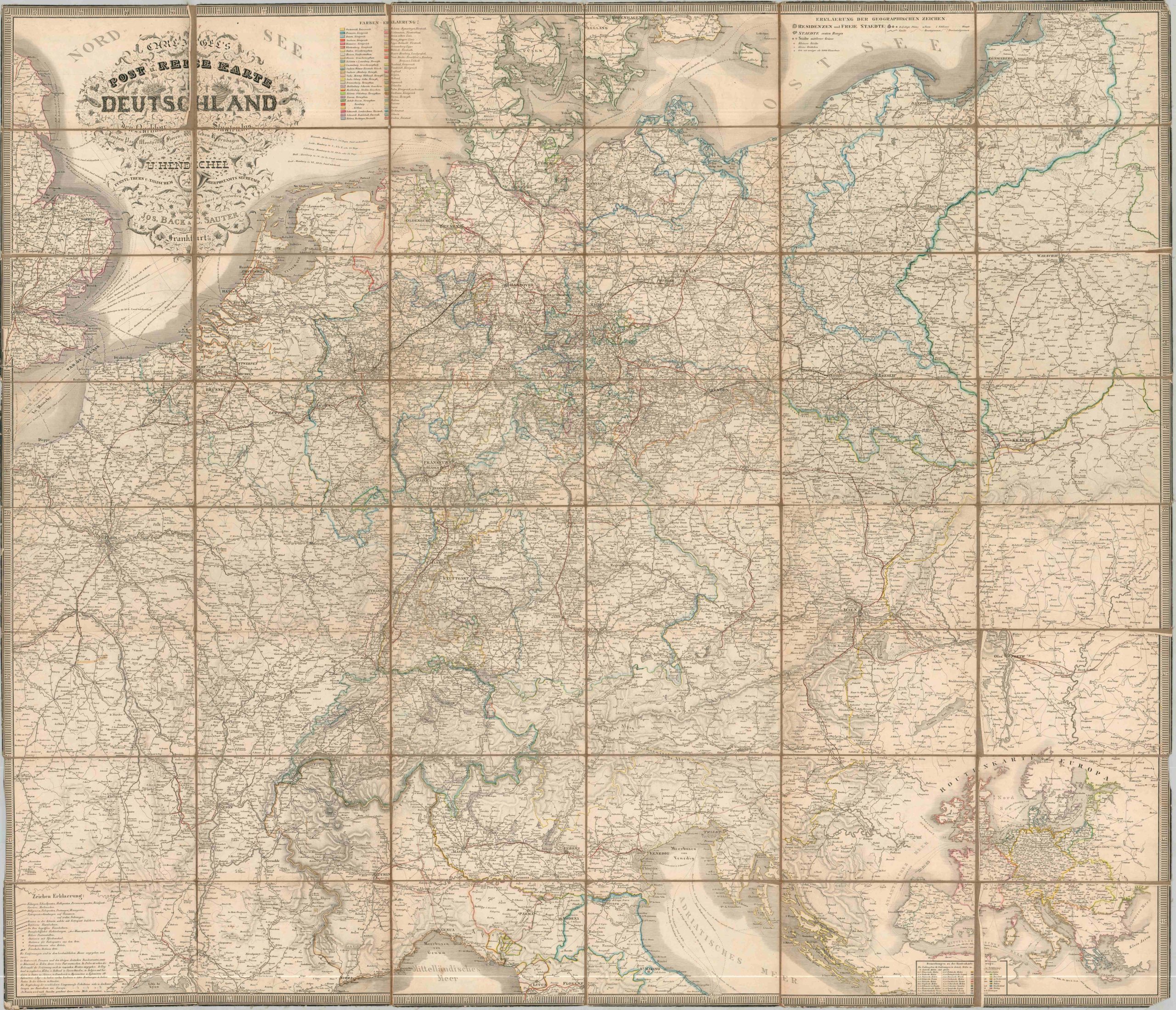
This incredibly detailed map covers much of Europe between Paris and Warsaw and the North and Adriatic Seas. The skillfully engraved image presents an overview of the complex private postal network serving the German Confederation, known as the Thurn-und-Taxis Post after the name of its operating aristocratic family.
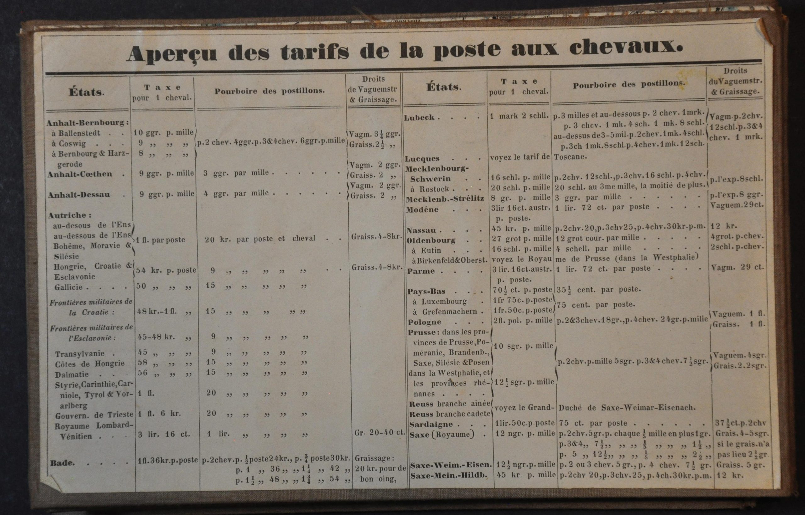
Distances between points are noted amid an extensive system of infrastructure. The key, pasted on the verso of the linen-backed sheet, provides a detailed overview of the symbology used for different classes of cities, postal stations, roadways, and more. A second French-language paste-down (composed of three parts) presents an overview of the horse post rates.
The map was designed by Ulrich Hendschel and published in Frankfurt Am Main by Carl Jugel. While it’s undated as far as I can tell, similar examples have been dated variously to the early 1840s through the late 1850s. A manuscript annotation in blue ink on the verso indicates a questioned date of 1840.
The German Confederation was established in 1815 after the fall of Napoleon, uniting 39 independent German-speaking states under a loose political framework dominated, at first, by Austria. Lacking a strong central authority, the Confederation relied on shared institutions to foster cohesion, including a unified postal system. The Thurn and Taxis postal network played a key role in maintaining communication across the fragmented region, enabling the flow of information between governments and reinforcing political ties. By the 1850s, the postal system had become a symbol of administrative unity, even as growing nationalism and rivalry between Austria and Prussia threatened the Confederation’s stability.
Example (one of two) at the Library of Congress.
Map Details
Publication Date: c. 1850
Author: Ulrich Hendschel
Sheet Width (in): 48
Sheet Height (in): 44
Condition: B+
Condition Description: Large engraved map with original outline color, dissected into 48 panels and mounted on strong linen, as issued. Some curling along the edges of several of the panels obscures the image somewhat, though there appears to be no significant loss. Creased corners, a few small holes at fold intersections, scattered spots of foxing, and some marginal loss are the worst issues. Some writing in blue ink on the verso. Good condition overall.
$150.00
1 in stock