
The Miami Herald Hurricane Plotting Map Presented as a Public Service
$275.00
“Doesn’t everyone you know read the Herald?”
1 in stock
Description
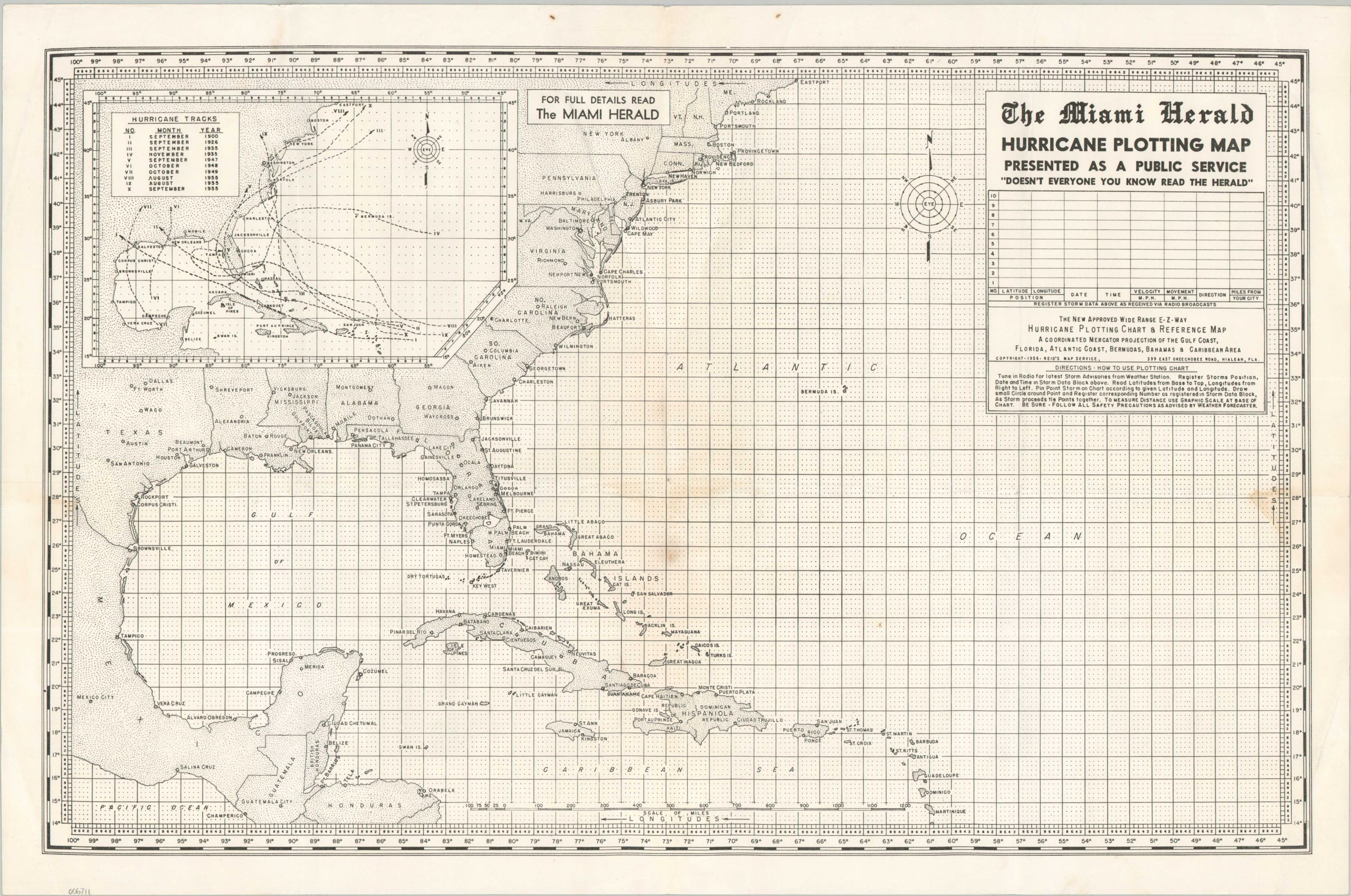
This handy Hurricane Plotting Map was copywritten in 1956 by Reid’s Map Service of Hialeah, Florida. It was ‘presented as a public service’ that year for use by prospective readers of the Miami Herald. Detailed instructions are provided below the title, along with the poignant warning “follow all safety precautions as advised by weather forecaster.” An inset in the upper left shows the tracks for ten of the most destructive Atlantic hurricanes since 1900.
The 1955 Hurricane Season was the most destructive to date, with 13 total storms (9 hurricanes), killing over 1,500 people and causing more than a billion dollars in property damage. The map was likely published as part of the public backlash against the perceived lack of preparation. The U.S. Government responded by funding a research/monitoring facility in 1956 that would ultimately become the National Hurricane Center.
Map Details
Publication Date: 1956
Author: Reid's Map Service
Sheet Width (in): 23.75
Sheet Height (in): 15.75
Condition: B+
Condition Description: Sharp creasing along old fold lines, along with some extraneous wrinkling and creased corners. Scattered spotting visible in several places, most obviously a dime-sized spot in the lower center. Good to very good condition overall.
$275.00
1 in stock