
Bermuda Islands
$175.00
WWII souvenir from Bermuda.
1 in stock
Description
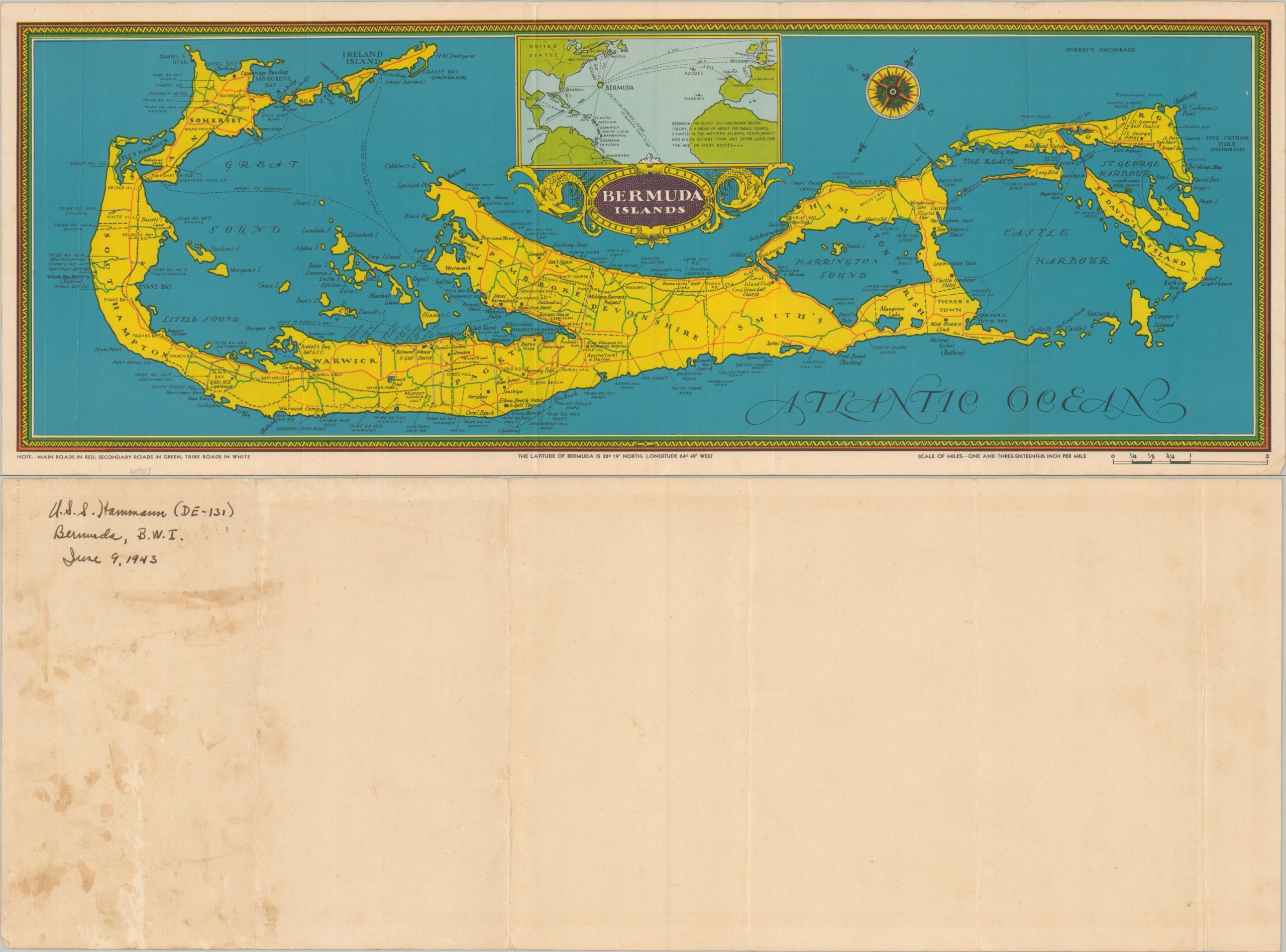
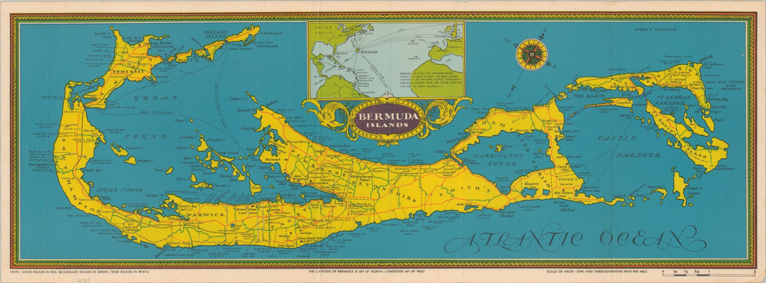
This colorful map of Bermuda was published anonymously in the late 1930s/early 1940s, probably before the outbreak of the Second World War. Road conditions (main, secondary, tribal) are highlighted in red, green, and white, respectively. Various locations of interest are labeled throughout the image, including tourist amenities, geographic features, and military installations. An inset in the upper center shows the location of Bermuda in the North Atlantic.
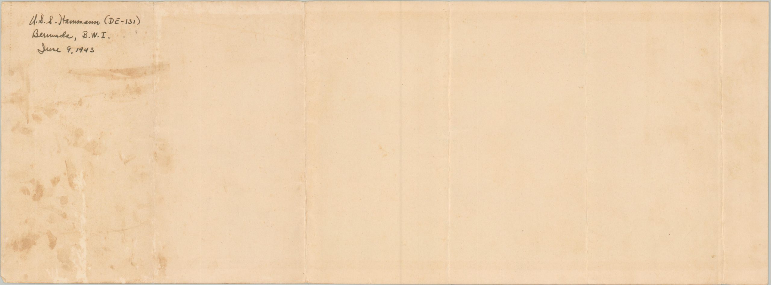
This example of the map was apparently picked up by one of the ~210 American sailors aboard the U.S.S. Hammann, an Edsell-class destroyer. Signed and dated June 9, 1943, on the verso, indicating it was acquired during the vessel’s shakedown cruise.
Map Details
Publication Date: c. 1943
Author: Anonymous
Sheet Width (in): 23
Sheet Height (in): 8.5
Condition: A-
Condition Description: Creasing and light wear along several old vertical folds. Minor edge wear, including scattered soiling and creased corners. Very good condition overall. Old owner's inscription (WWII veteran) on the verso.
$175.00
1 in stock