
Dreher’s Mile Square Index, Paved Street, & House Number Map of the City of Columbus
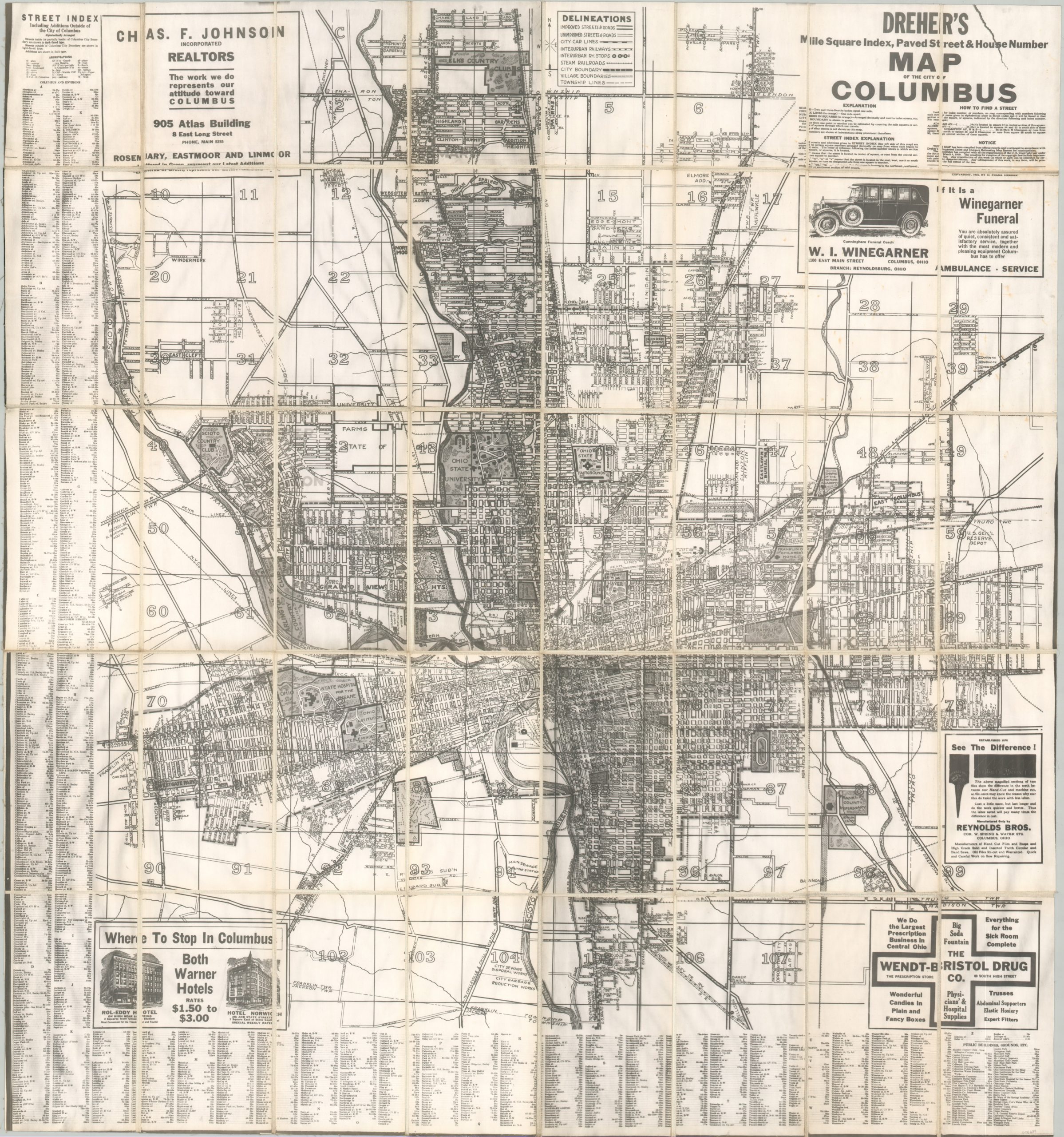
Pirated’ copy of Dreher’s 1925 map of Columbus, Ohio.
Out of stock

Description
This large and detailed map of Columbus, Ohio was originally copywritten in 1925 and published locally by D. Frank Dreher. This is a somewhat later reprinting – likely an unauthorized reproduction used in the real estate department of a local railroad company (based on similar examples and stamps on the verso). The image offers a comprehensive snapshot of ‘Arch City’ in the midst of the Roaring 20s.
Suburban expansion was facilitated by the electric rail lines running throughout much of the image. Steam railroads, city car lines, and different degrees of surface streets are also shown, according to the legend in the upper center. Various neighborhoods, parks, cemeteries, medical facilities, schools, golf courses, and locations of interest are labeled throughout. Examples in the last category include Ohio State University, the Columbus Driving Park, Scioto Country Club, Fort Hayes, and the Ohio State Fairgrounds and Coliseum. A handful of advertisements promote local businesses such as the Warner Hotel, Reynolds Brothers tools, and the Wendt-Bristol Drug Company.
Map Details
Publication Date: c. 1930
Author: D. Frank Dreher
Sheet Width (in): 34.5
Sheet Height (in): 37
Condition: A-
Condition Description: Large photomechanical reproduction, probably from the 1930s - 1940s, dissected into 40 segments and mounted on linen. Contemporary black leather covers with label affixed to the front. Scattered spotting and toning along the seams. Very good condition overall.
Out of stock