
Problems C. & G.S.S. Regular Course 1938 – 1939 Maps [Military Training Maps]
Teaching ‘the big picture’ about war to American officers on the brink of battle.
Out of stock

Description
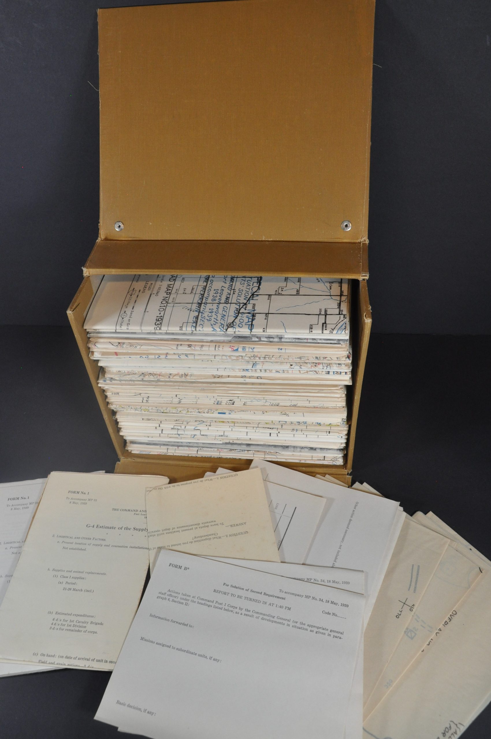
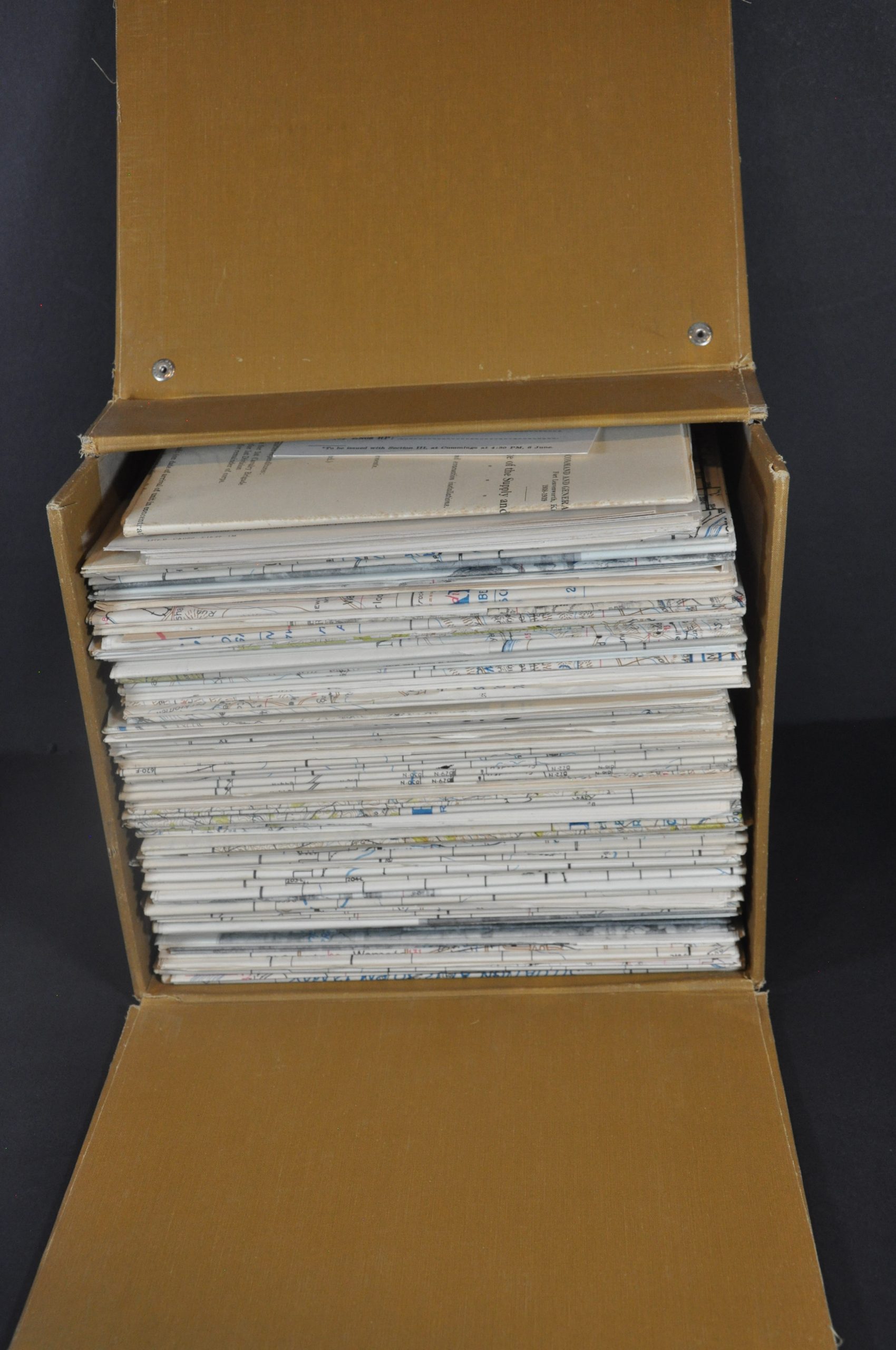
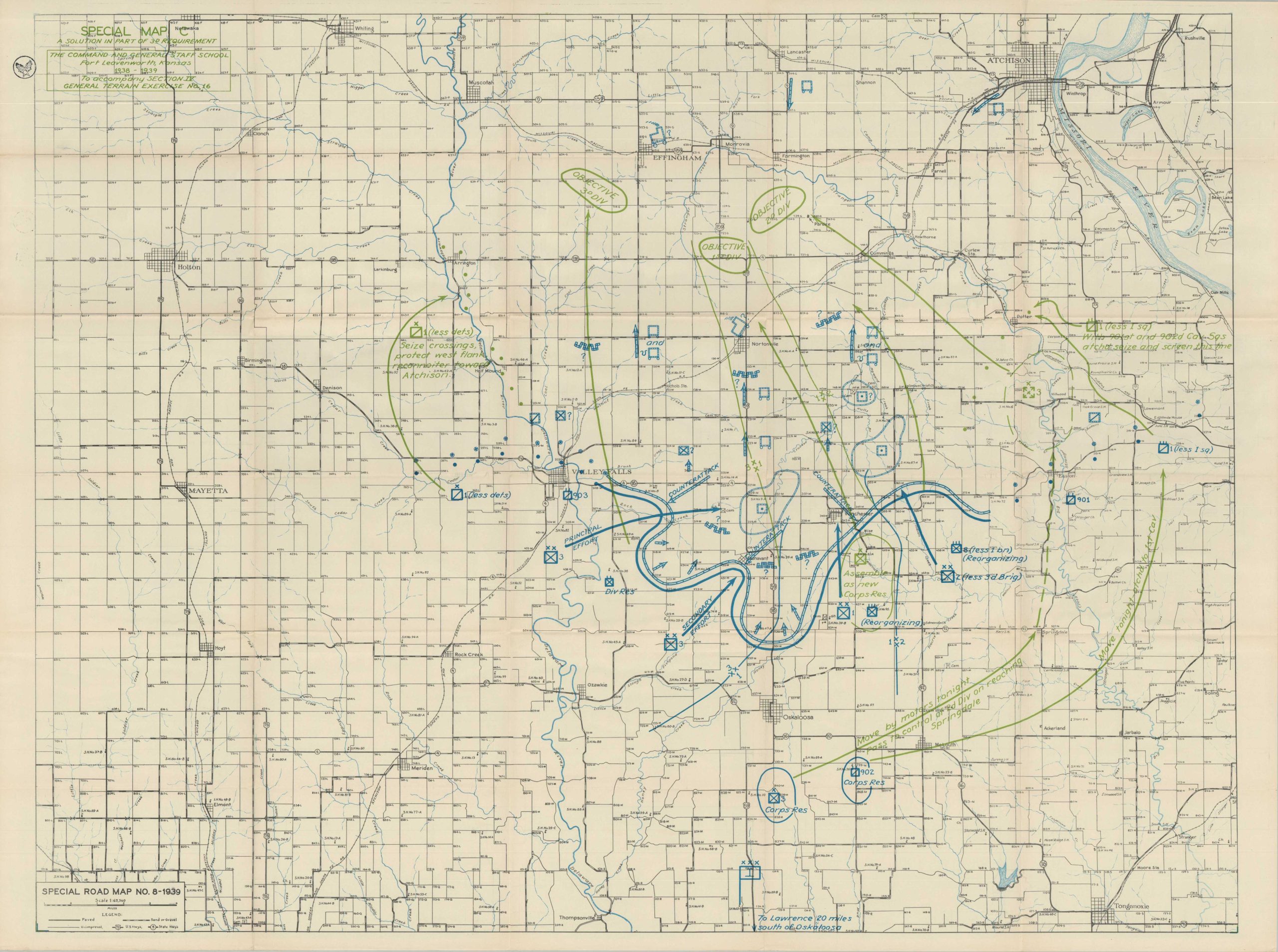
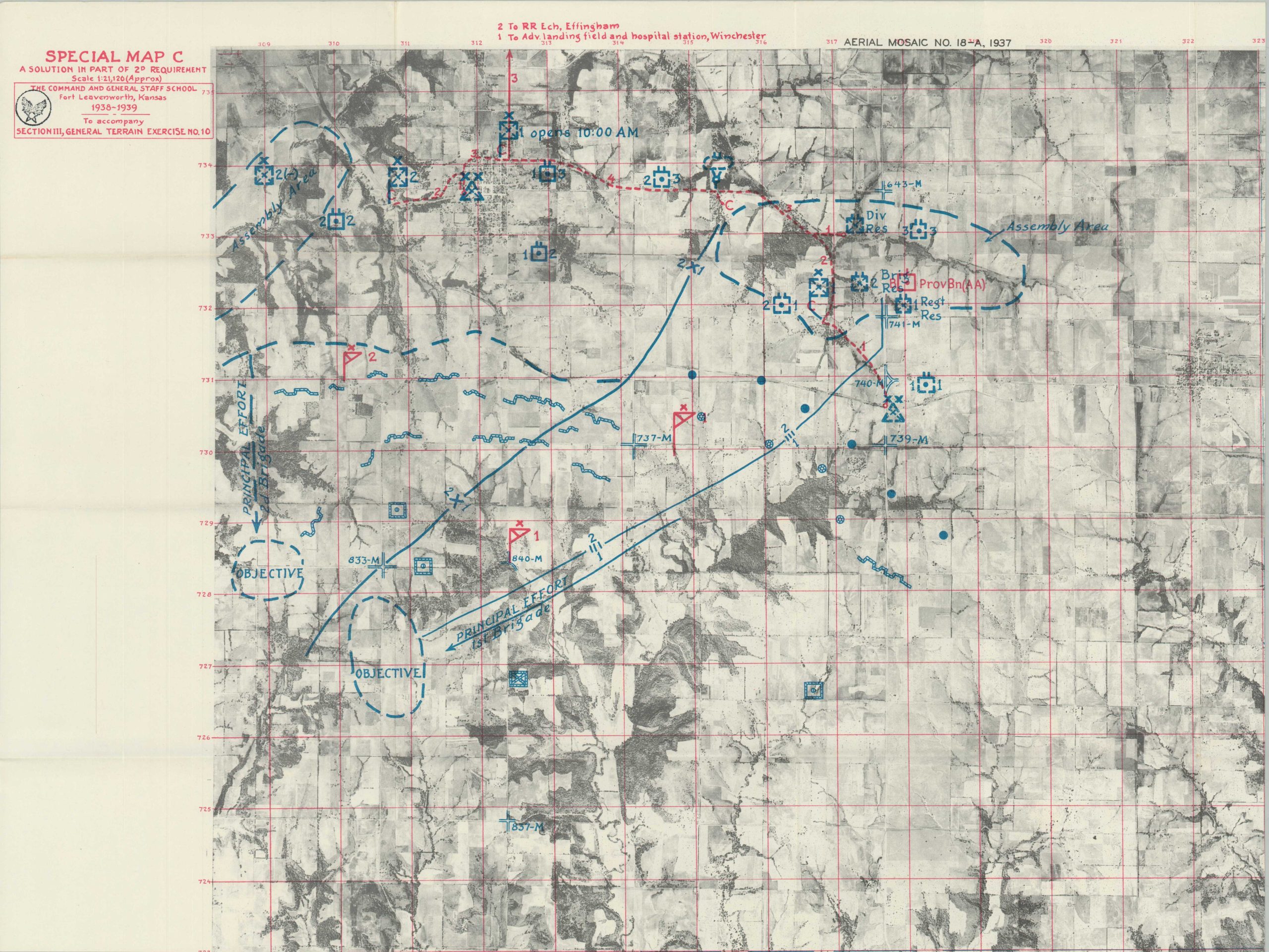
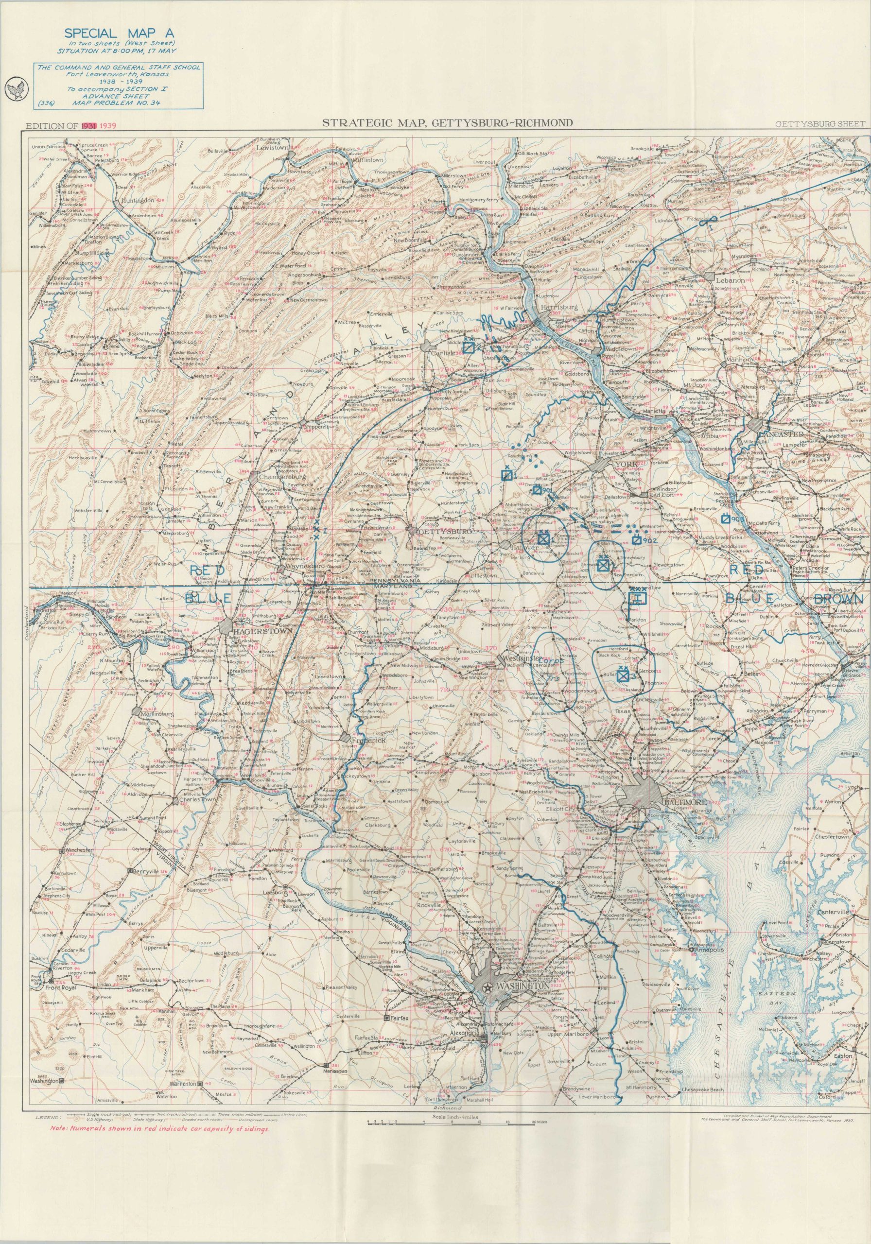
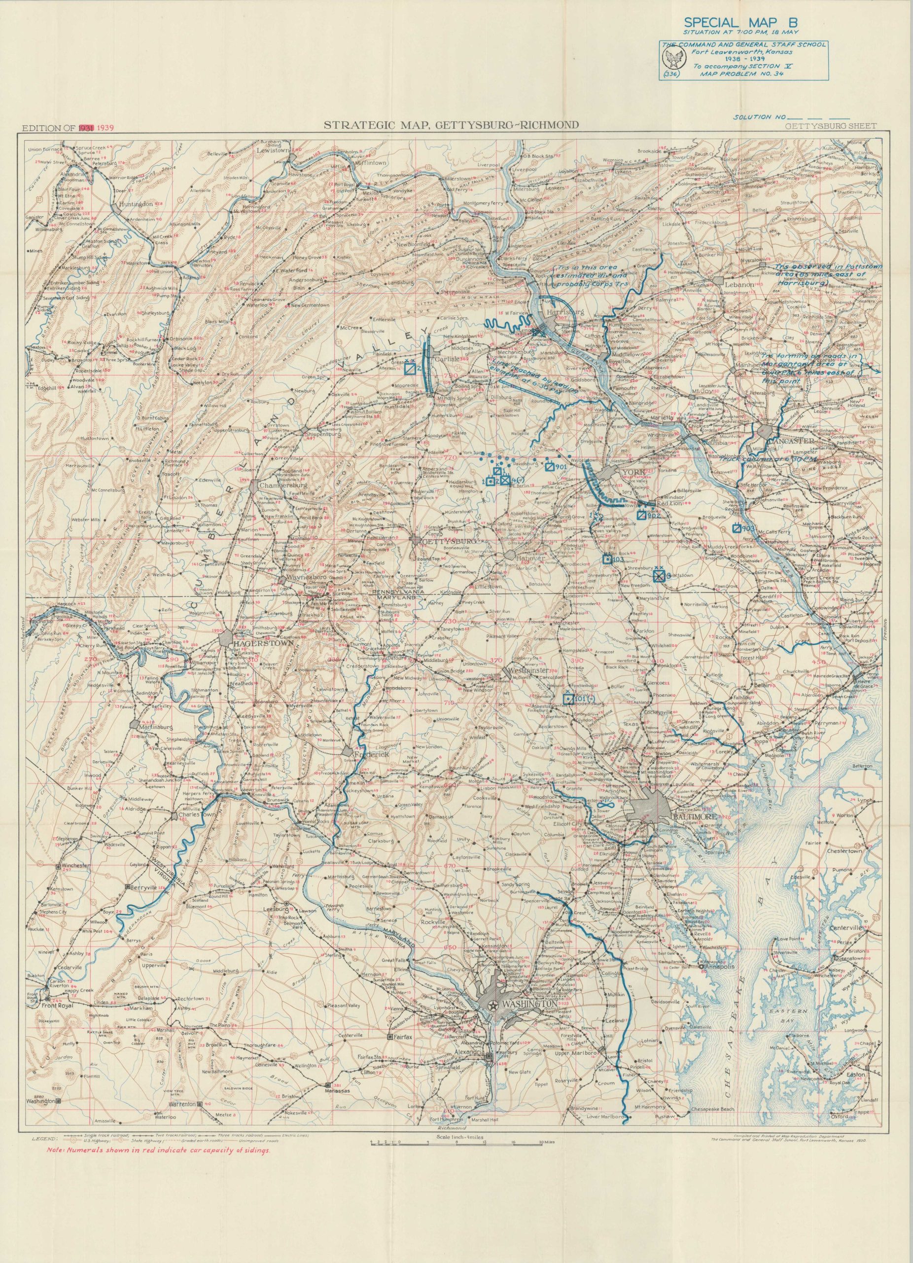
Enclosed in a custom case titled ‘Problems,’ this massive assortment of topographical maps, training diagrams, overlays, aerial photographs, and instructional exercises was published in 1939 for use at The Command and General Staff School at Fort Leavenworth, Kansas. The group was originally designed in the early 1930s and updated with red overprinting later in the decade, with war looming on the horizon.
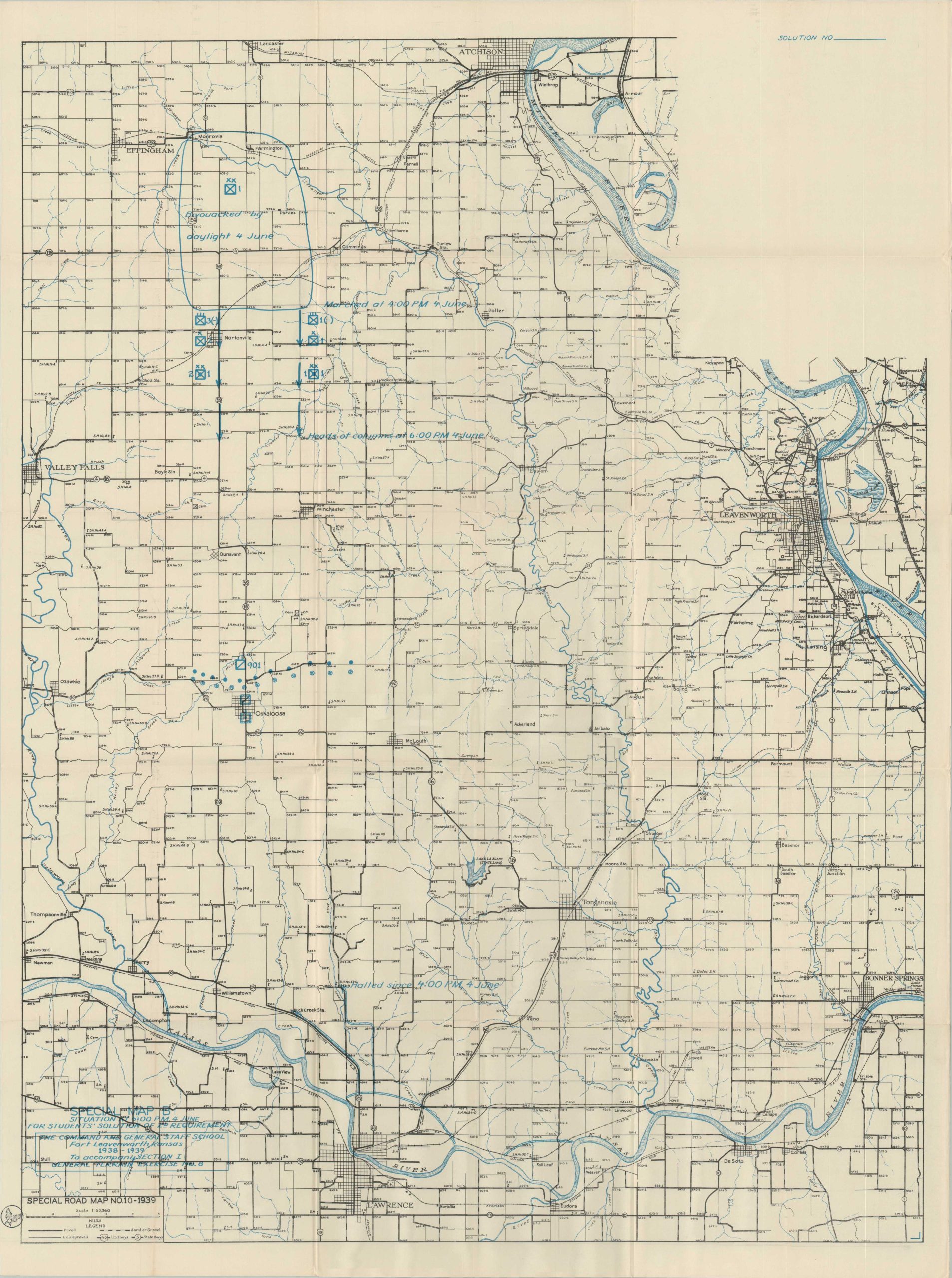
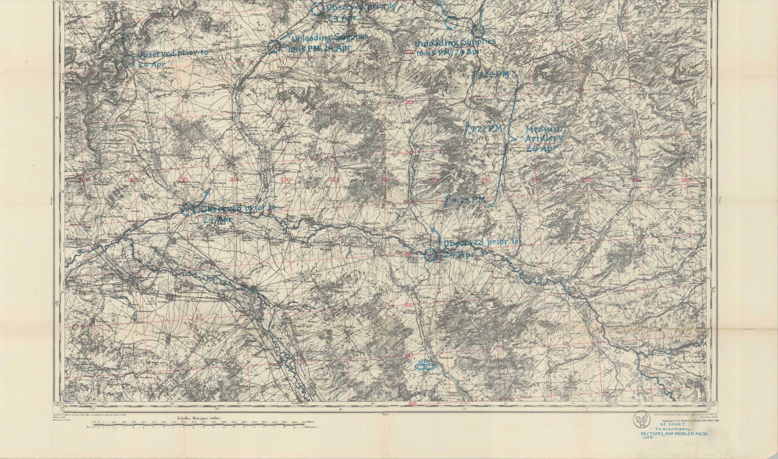
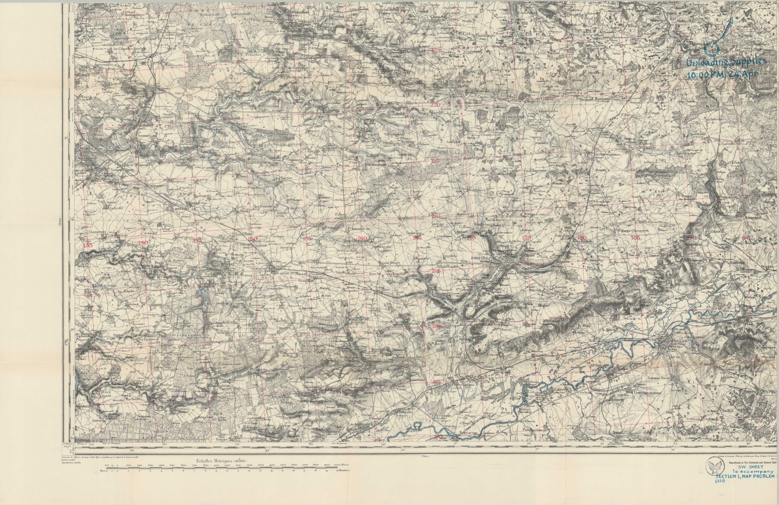
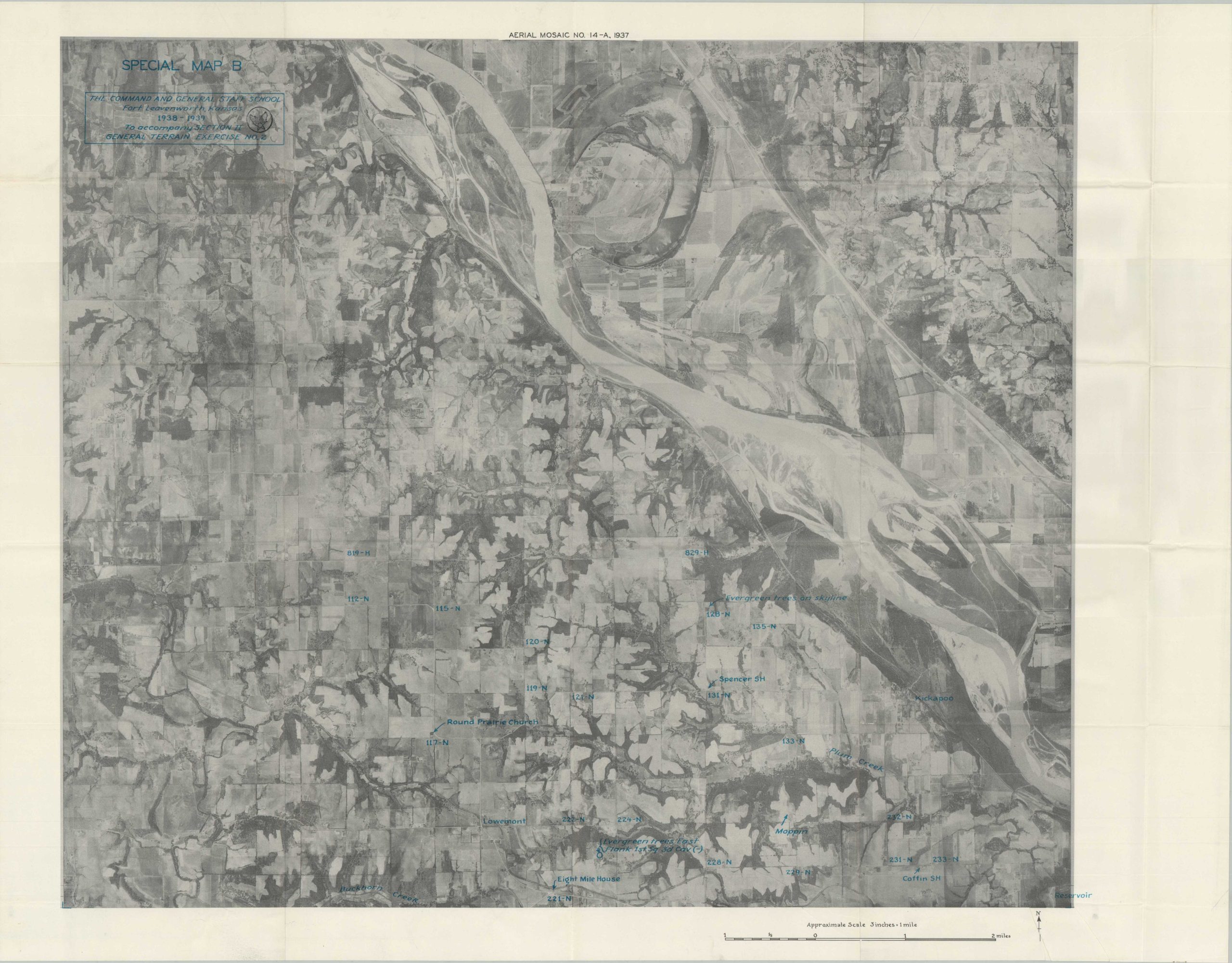
Dozens of large folding topographic plans, designated ‘Special Maps’, outline specific military situations that were used in officer training programs. Many include semi-transparent overlays that reflect updates like unit reinforcements, enemy shifts, etc. The Battle of Gettysburg, the Battle of Chateau-Thierry, and live-action terrain exercises in Kansas comprise the bulk of the cartographic material. Accompanying exam booklets (blank) present questions about logistics, supply lines, evacuation routes, and more. An interesting and uncommon example of America’s ultimately inadequate military preparation for the impending Second World War.
The Command and General Staff School was founded by William Tecumseh Sherman in 1881 as the School of Application for Cavalry and Infantry. In the early 20th century, it evolved into the Army School of the Line and, later, the Army Staff College, reflecting a broader curriculum covering tactics, strategy, and leadership. By the outbreak of World War II, the CGSS had established itself as the nation’s premier institution for military education, training officers not only from the Army but also from other branches of the armed forces. Its graduates played pivotal roles in the strategic planning and execution of Allied campaigns throughout the war, contributing significantly to the eventual victory.
Map Details
Publication Date: 1939
Author: United States Army Command and General Staff School
Sheet Width (in): See Description
Sheet Height (in): See Description
Condition: A-
Condition Description: Approximately 60 folding topographic plans and contour maps, 10 aerial photograph mosaics, 30 map overlays on thin tissue paper, and an assorted collection of exam booklets and instruction forms. Completion unknown, as no index was included. Most of the contents are generally very good, with light toning, creasing along folds, and a few small edge tears. Includes the original large buttoned slipcase, made from sturdy cardboard but showing some signs of moderate wear - splitting at the sides, rough edges, and a tear along the tab.
Out of stock