
New India, mit vilen anstossenden landern
$1,750.00
An important map in the growing European trade routes with Asia.
1 in stock
Description
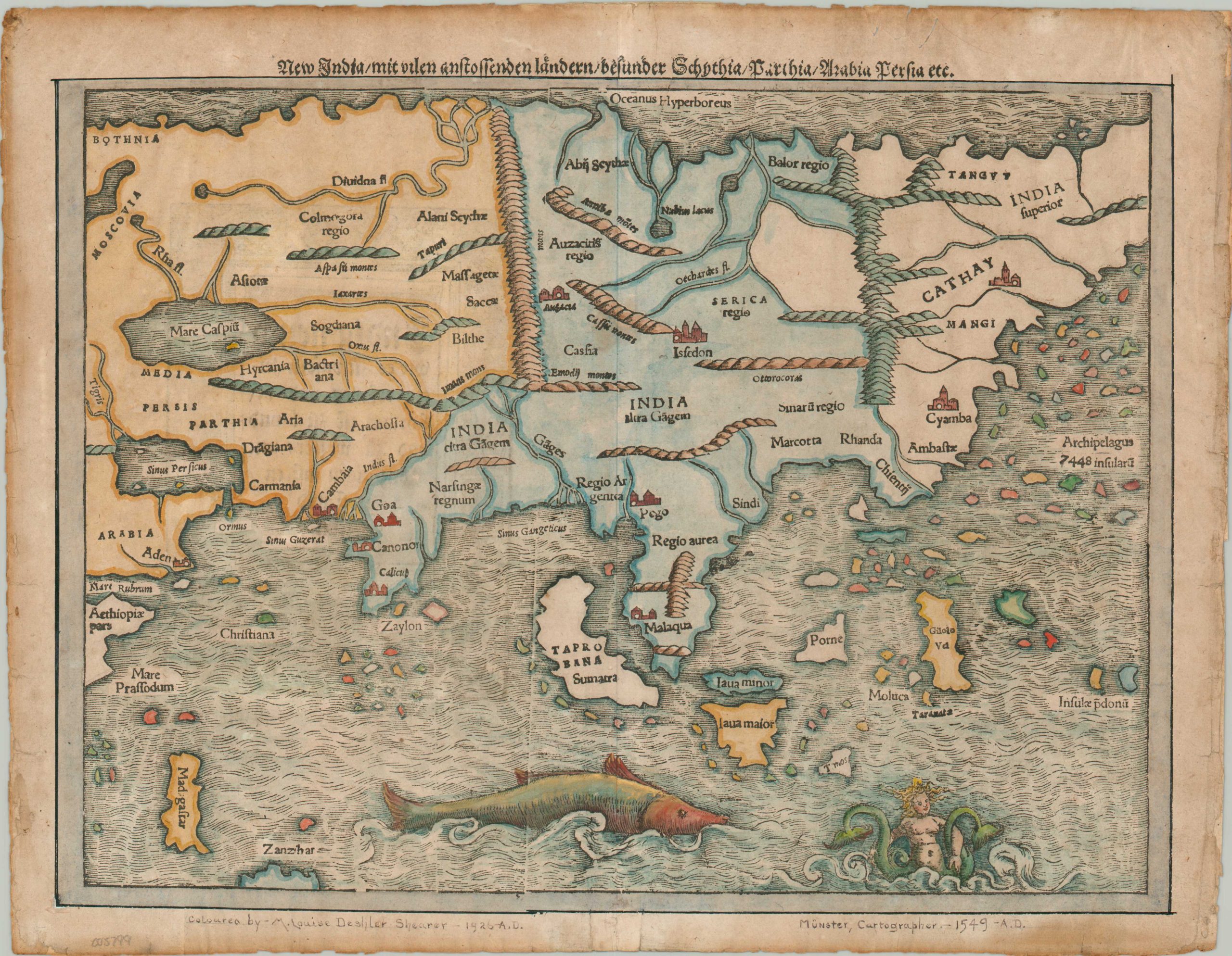
This marvelous 16th-century map of Asia presents a fascinating mix of recent discoveries and antiquated cartographic ideas. It was created by Sebastian Munster and published in Basel as part of the 1569 edition of Munster’s Cosmography. The ‘New India’ mentioned in the title reflects the concept that the map is a significant reworking of previously understood notions of Asian geography.
Based on the ancient Greek scholar Ptolemy, these ideas purported that the Malay Peninsula connected to a huge southern landmass that enclosed the entire Indian Ocean. However, Portuguese expeditions prompted by the valuable spice trade disproved these theories by the early 1500s, and updated representations were needed.
The image presents a largely recognizable outline of the continent, though some of the place names still refer to Roman-era geography. Pictorial topography is merely suggestive. The famous travels of Marco Polo have been incorporated into the depiction of Cathay (China) and the massive archipelago of 7,448 islands nearby, though Japan is omitted and instead included on Munster’s map of the Americas. Numerous toponyms in the South Pacific and Indian Oceans refer to the lucrative spice trade, including the port cities of Goa, Calicut, and Molucca and the islands of Java (split into two) and Sumatra (also labeled Taprobana, the name previously applied to Sri Lanka).
Munster’s maps, made from woodblocks, were generally issued uncolored at the time of publication, though this example has been greatly heightened by delicate watercolor and gold accents. According to handwritten text in the lower margin, the coloring was applied in 1926 by M. Louis Deshler Shearer. According to her obituary, Shearer (1885 – 1970) was a poet, dramatist, musician, and artist who was deeply involved with the University of Michigan and Ann Arbor community.
Sources: British Library; Survey of the maps in Munster’s Cosmographia;
Map Details
Publication Date: 1569
Author: Sebastian Munster
Sheet Width (in): 15.4
Sheet Height (in): 12
Condition: A-
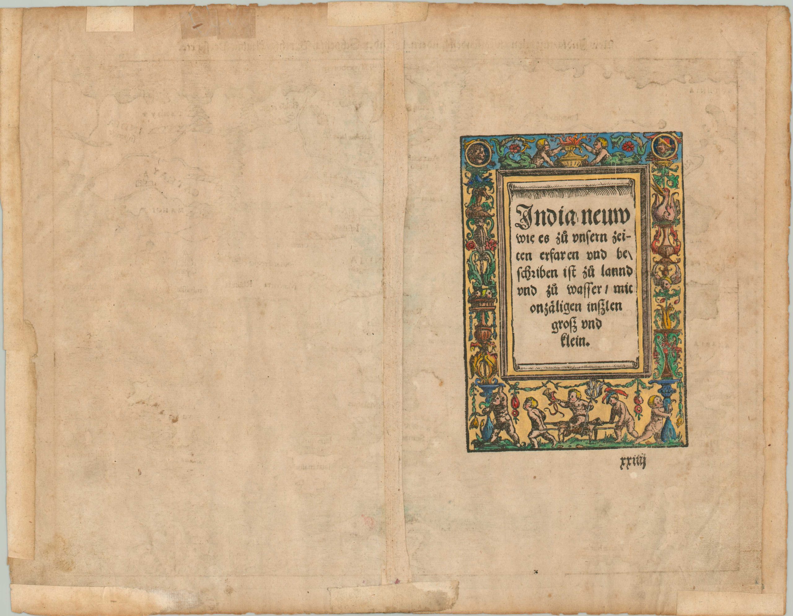
Condition Description: Moderate wear visible in the margins, including small tears, toning, wrinkling, and discoloration. Several repairs on the verso made with old archival tape. Lovely hand color, dated 1926, makes for a very attractive aesthetic.
$1,750.00
1 in stock