
Carte Pour L’Introduction a L’Histoire d’Angleterre…
$200.00
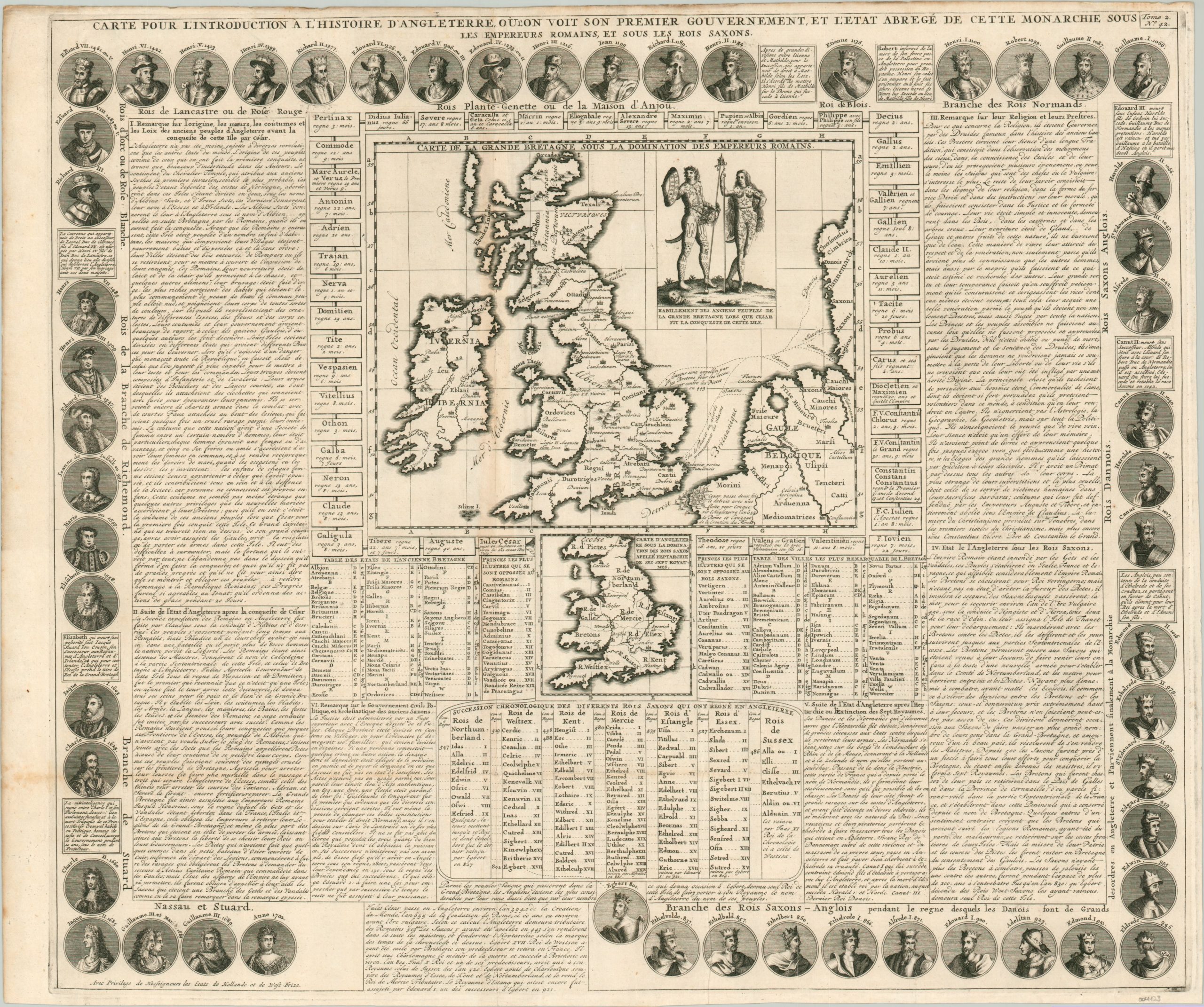
“A Map for the Introduction to the History of England.”
1 in stock
Description
This fascinating copperplate engraved sheet was published in the early 18th century to educate a French audience on the basics of the history of England. A central image shows a map of Roman Britain with numerous annotations and toponyms referencing ancient events. Of particular interest is Caesar’s amphibious invasion, performed 3,940 years after the creation of the world (or year 655 for the Romans).
A scene in the upper right of the map depicts two heavily tattooed, ‘savage’ inhabitants of the island (note the decapitated head) before they were ‘civilized’ by Cesar’s’ legions. Immediately below is a second map of England after the Saxon conquest. Fifty-four separate portraits comprise an engaging border that also serves as a visual timeline of English monarchs from Egbert (801) to Queen Anne (1701). The rest of the text provides elaborate family genealogies, political history, the organization of the kingdom, and much more.
Published in Paris in 1708 as part of Henri Abraham Chatelain’s monumental Atlas Historique.
Map Details
Publication Date: 1708
Author: Henri Abraham Chatelain
Sheet Width (in): 24.6
Sheet Height (in): 20.4
Condition: B+
Condition Description: Creasing and faint discoloration along originally issued fold lines, most evident in the lower left. Minor wear along the outer edges of the sheet, including some discoloration, wrinkling, and a few very tiny tears confined to the margins.
$200.00
1 in stock