
Map Showing Land Grant of the Northern Pacific Railroad Co. in Western Washington and Northern Oregon
$325.00
Selling railroad lands in Washington and Oregon.
1 in stock

Description
This incredibly detailed map shows the lands available for sale by the Northern Pacific Railroad Company as of September 1892. Though the firm was given over 45,000,000 acres of land by the federal government, the image presents a relatively small portion in western Washington and northern Oregon between Tacoma and Portland. As indicated by the checkerboard pattern, the railroad was granted alternating sections along its route within a 40-mile limit on either side. These tracts were then sold to help finance the enormous construction and operation costs.
A legend in the upper right shows the various symbols used to indicate lands that are sold or available, with proximity to the line being apparently an important consideration. An inset in the upper left shows the entire network of the Northern Pacific Railroad Company and its connections, with the land grants shaded. Topography is depicted in hachure, with Mt. St. Helens, Mt. Adams. and Mt. Tacoma all prominently featured in the center of the image.
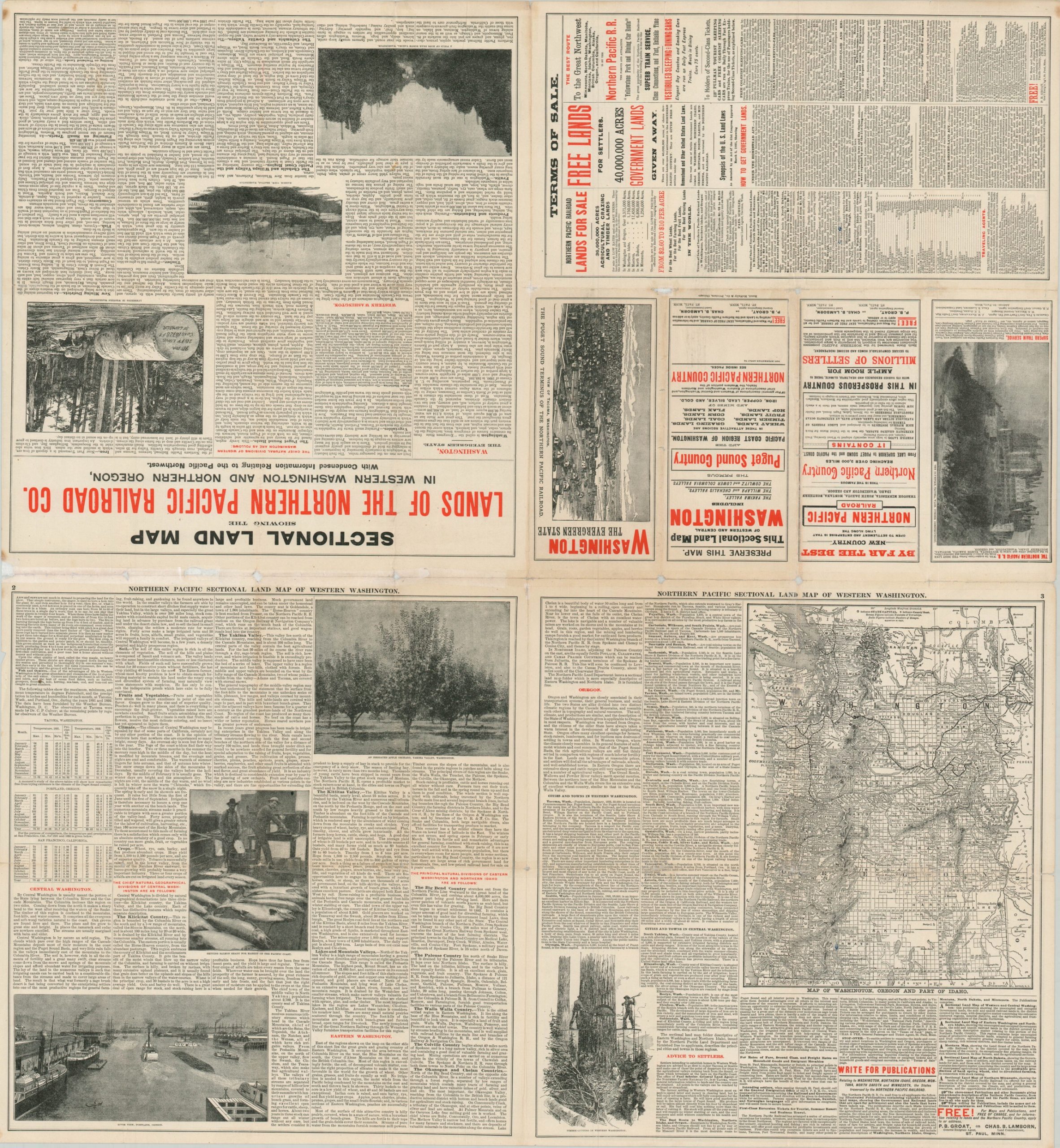
The verso includes persuasive text and photographs, the terms of sale, a sectional map of western Washington, and a view of Tacoma. The map was lithographed in Buffalo in 1892 by the Matthews-Northrup Company, while the brochure was printed in Chicago by Rand McNally.
Map Details
Publication Date: 1892
Author: Northern Pacific Railroad Company
Sheet Width (in): 34.75
Sheet Height (in): 32.1
Condition: B
Condition Description: Formerly folded into a brochure with heavy repaired and toning along old fold lines. Minor spots of paper loss are visible along the vertical fold in the center of the sheet and at a few fold intersections on either side. Remains in fair to good condition overall, especially given its prior unfortunate state.
$325.00
1 in stock