
Battle Ground of Liberty
$150.00
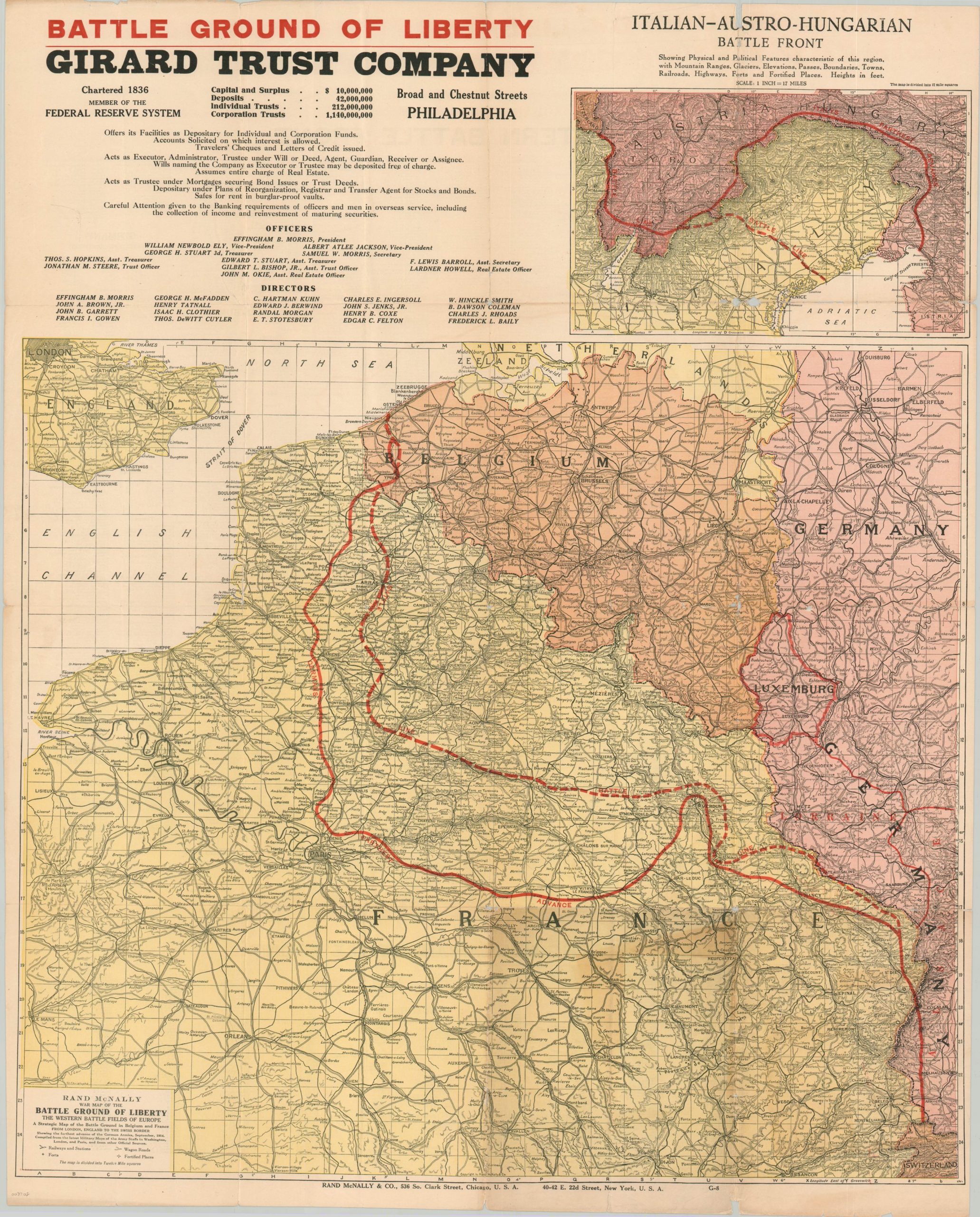
The ‘Battle Ground of Liberty’ on the Western Front during WWI.
1 in stock
Description
This strategic map of France, Belgium, and Germany emphasizes the front lines of the belligerent powers in early 1918. Despite the ongoing stalemate and stagnation across the Western Front, visible progress is shown from the lines representing the furthest German advance. A legend in the lower-left identifies the symbols used to denote forts, fortified places, wagon roads, and railways, while an inset in the upper right presents a map of the Austro-Hungarian and Italian front.
Published in Chicago by Rand McNally in 1918 and distributed on behalf of the Girard Trust Company of Philadelphia. A large promotion for the firm can be seen in the upper left. The verso provides a comprehensive index of places within the map, as well as helpful pronunciation hints for the various toponyms.
Map Details
Publication Date: 1918
Author: Rand McNally
Sheet Width (in): 26.60
Sheet Height (in): 33.20
Condition: B
Condition Description: Heavy wear, discoloration, and areas of separation along former fold lines that have been repaired and reinforced with archival tape on the verso. Numerous chips and small tears along the margins of the sheet and small bits of image loss at fold intersections and along the seams.
$150.00
1 in stock