
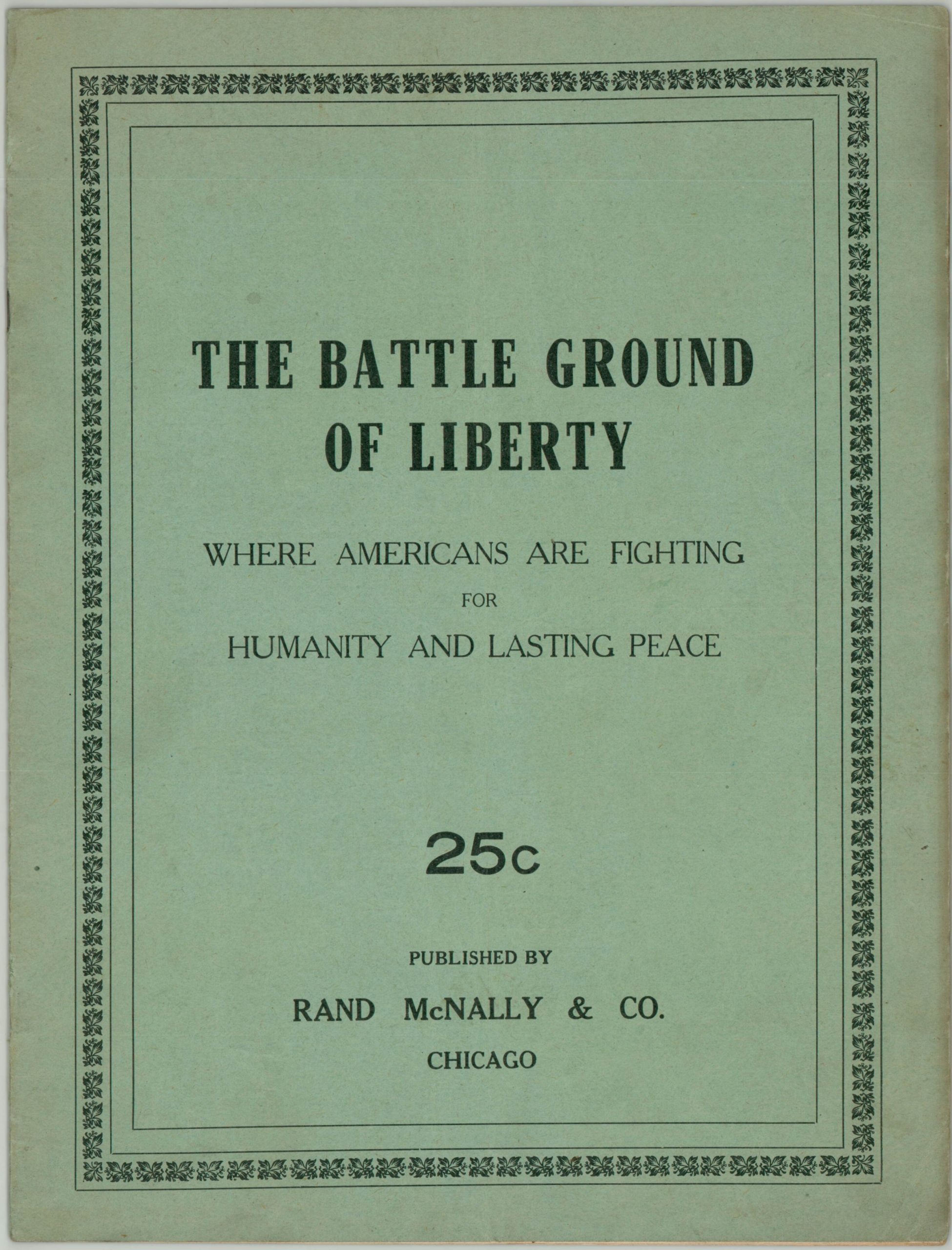
The Battle Ground of Liberty Where Americans Are Fighting for Humanity and Lasting Peace
$175.00
Cataloguing events across the various theaters of World War I during February of 1918.
1 in stock


Description
This fascinating and uncommon atlas was published in February of 1918 by Rand McNally in Chicago. Though the United States had declared war on Germany almost a year earlier, in April of 1917, it was only at this point that a significant amount of American troops were hitting French soil and beginning to engage in combat across the theater.
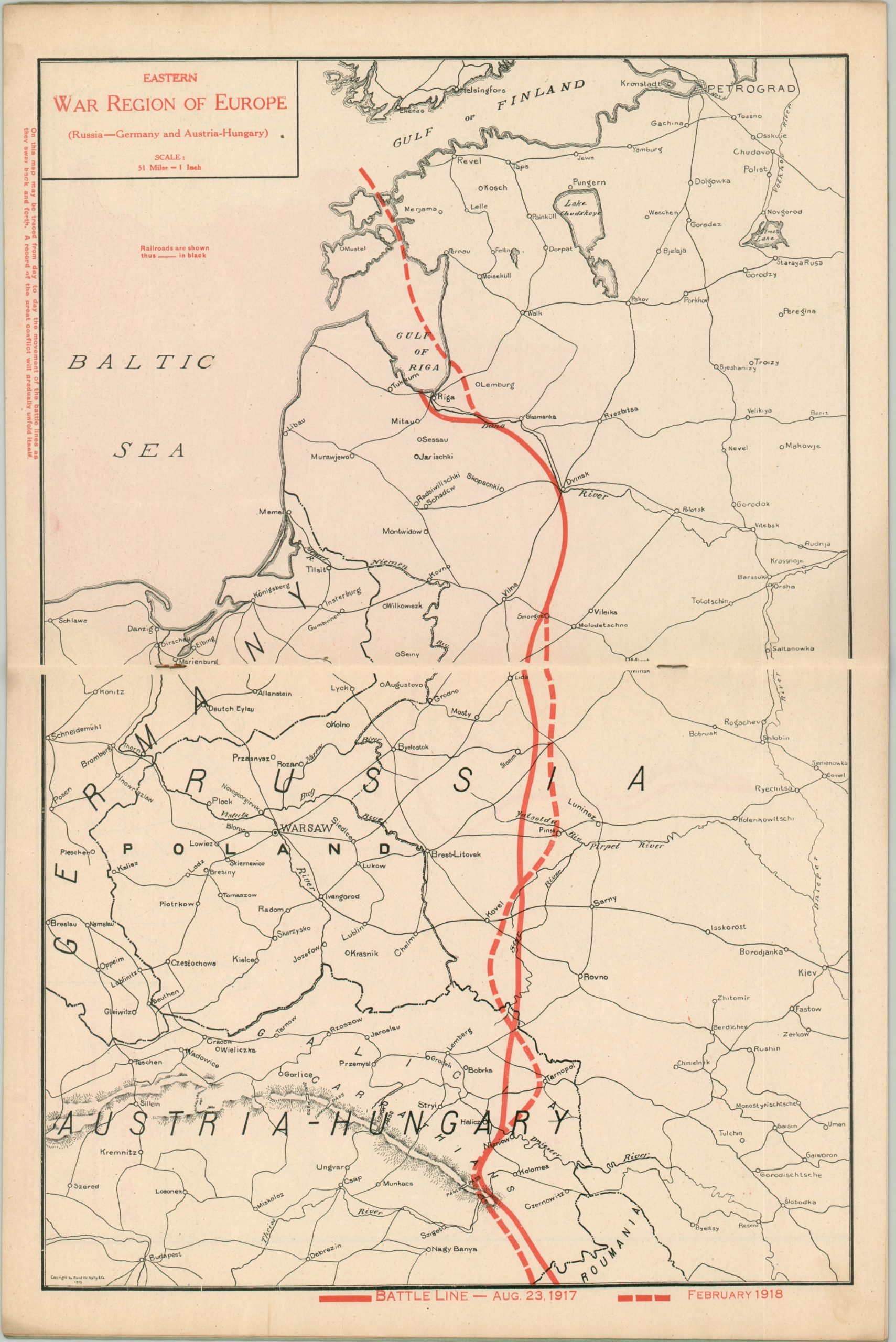
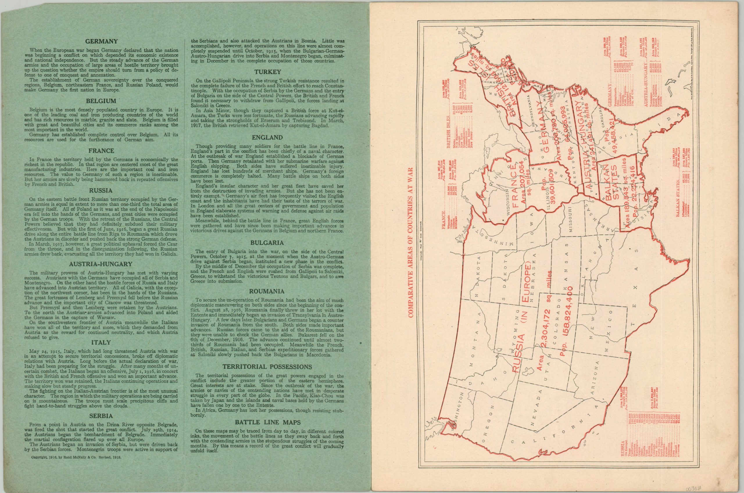
The compilation covers the various fronts in Germany, Belgium, France, Italy, Austria-Hungary, Serbia, and Russia, with large-scale maps showing the line of battle between August of 1916 and February of 1918. Other maps show the territorial acquisition of the Central Powers, the lines of the British blockade on Germany, and the United States with comparatives sizes of the countries at war.
The front cover provides a slanted summary of each of the war’s belligerents, while the back cover presents a timeline of major events between July of 1914 and January of 1918. An interesting example of commercial efforts to try and provide the most up-to-date information to the general public, for the reasonable price of 25 cents.
Map Details
Publication Date: 1918
Author: Rand McNally
Sheet Width (in): 10.25
Sheet Height (in): 13.50
Condition: A-
Condition Description: 16 pp. atlas with stapled binding and original blue paper wraps. Contents are complete and include six double page and four single page maps. Overall very good - covers are lightly soiled and the contents are toned with age and show minor wear including creased corners and scattered soiling in the margins.
$175.00
1 in stock