
Planiglob der Antipoden
$150.00
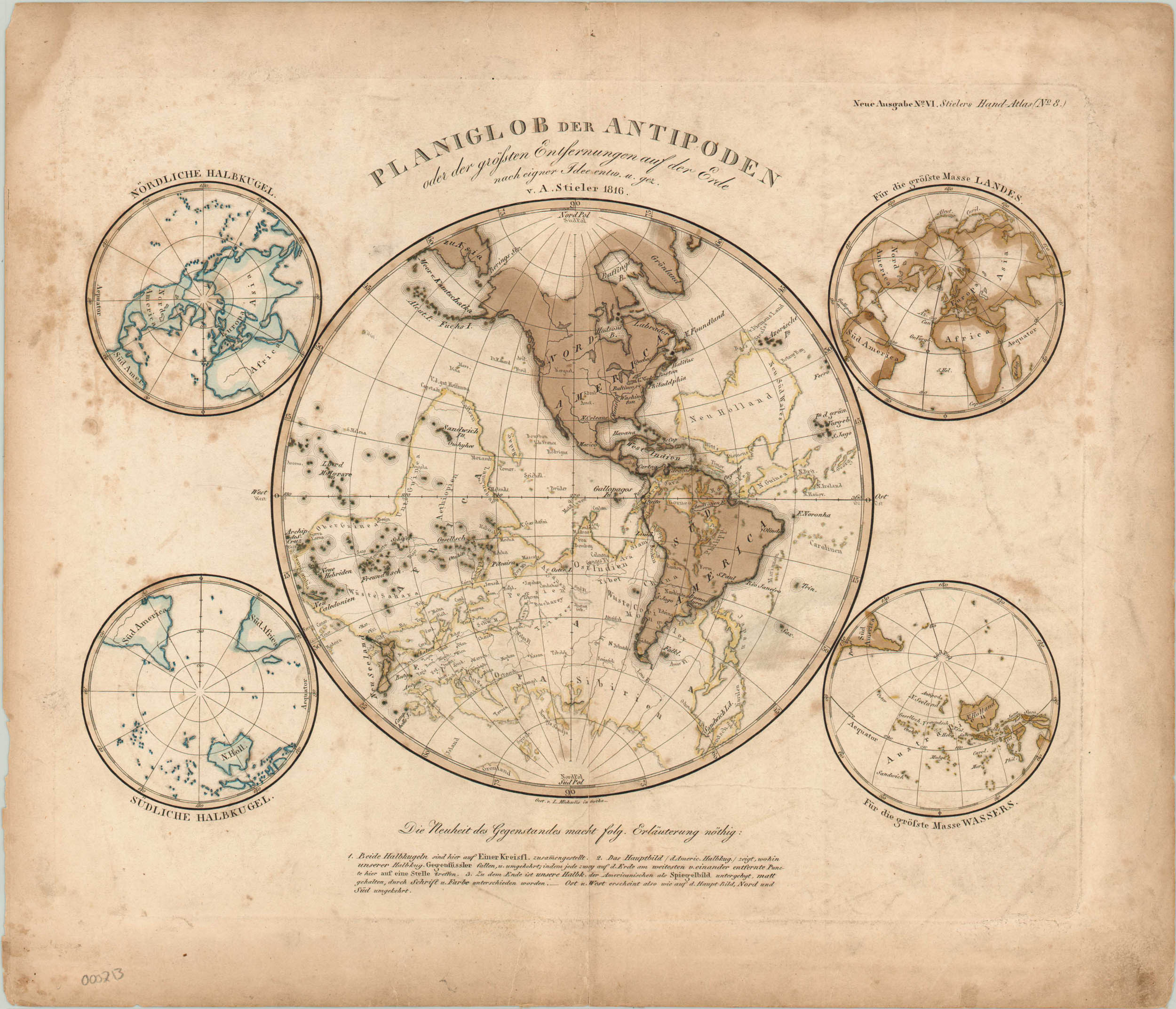
First edition map of the hemispheres superimposed on one image from Stieler’s Hand Atlas.
Description
This map provides the reader an uncommon view of the world by showing its antipodal points: two spots on the surface of the globe that are diametrically opposed to one another. North America’s antipodes are mostly in the ocean, but South America overlaps with Asia and Indonesia, while many Pacific Islands have antipodes in Africa. Major regions, rivers, and cities are labeled in both hemispheres, providing a three dimensional relational perspective of the entire world. Four inset maps show both polar projections, and the distribution of landmass and water between the Northern and Southern Hemispheres.
Stieler’s Hand Atlas was one of the leading geographic publications in the late 19th and early 20th centuries. It was published in ten editions from 1816 to 1945 by the firm of Justus Perthes in Gotha, Germany.
Map Details
Publication Date: 1816
Author: Adolf Stieler
Sheet Width (in): 16
Sheet Height (in): 13.5
Condition: B
Condition Description: The map is in good condition, with soiling and some foxing throughout. Edge tears repaired on verso with tape on centerfold.
$150.00