
New Brunswick
$95.00
Geologic map of the Canadian province of New Brunswick from the 1920s.
1 in stock

Description
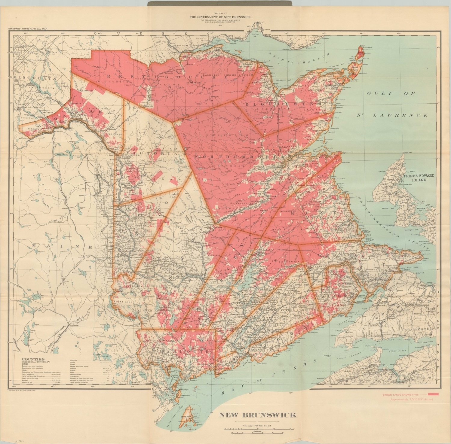
This color lithographed map of New Brunswick was published in Ottawa in 1923 by the Canadian Department of Lands and Mines.
Bright red tint shows the approximately 7.5 million acres of Crown Lands across the vast territory, much of which is uninhabited. A variety of settlements, geographic features, and infrastructure improvements are noted throughout the image according to the legend in the lower left.
Map Details
Publication Date: 1923
Author: Department of Lands and Mines
Sheet Width (in): 35.00
Sheet Height (in): 34.5
Condition: A-
Condition Description: Folded into 18 panels and affixed to original dark grey paper covers, which are chipped around the outer edges but otherwise in good shape. The sheet exhibits light creasing along fold lines and minor edge wear in the form of small tears and a few wrinkles. Very good overall.
$95.00
1 in stock