
Clason’s Map of California
$125.00
California’s roads in the midst of the Roaring ’20s.
1 in stock

Description
This fabulously detailed road map of California shows the burgeoning transportation network across the state in the mid-1920s. Main roads predate the numbered highway system and are individually labeled, like the Roosevelt National Trail, El Camino Real, and Pike’s Peak Ocean to Ocean Highway.
The various paths were undoubtedly surfaced with a variety of materials like macadam, gravel, dirt, and tar – there’s even a wooden ‘planked road’ across the desert of Imperial County. Inset maps of the San Francisco and Los Angeles areas can be seen in the upper right and lower left, respectively.
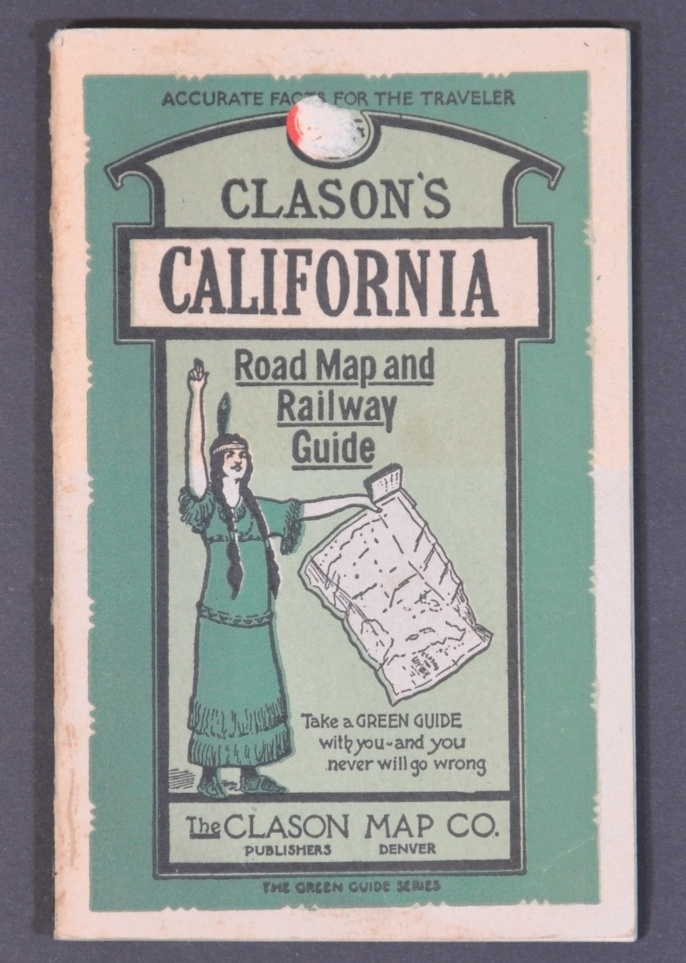
Published around 1924 in Denver by the Clason Map Company. Includes the accompanying guidebook, which presents more detailed street plans of California urban centers and an extensive index of cities and towns.
Map Details
Publication Date: c. 1924
Author: Clason Map Company
Sheet Width (in): 27.5
Sheet Height (in): 33.75
Condition: B+
Condition Description: Originally issued folded into 48 panels, now separated from accompanying guidebook (64 pp., still present) and flattened. Former separation at fold intersections has been repaired on the verso, along with a few small edge tears. Minor discoloration and light offsetting visible in a few places, but overall the map and book both remain in good condition.
$125.00
1 in stock