
General Map of the City of Madison
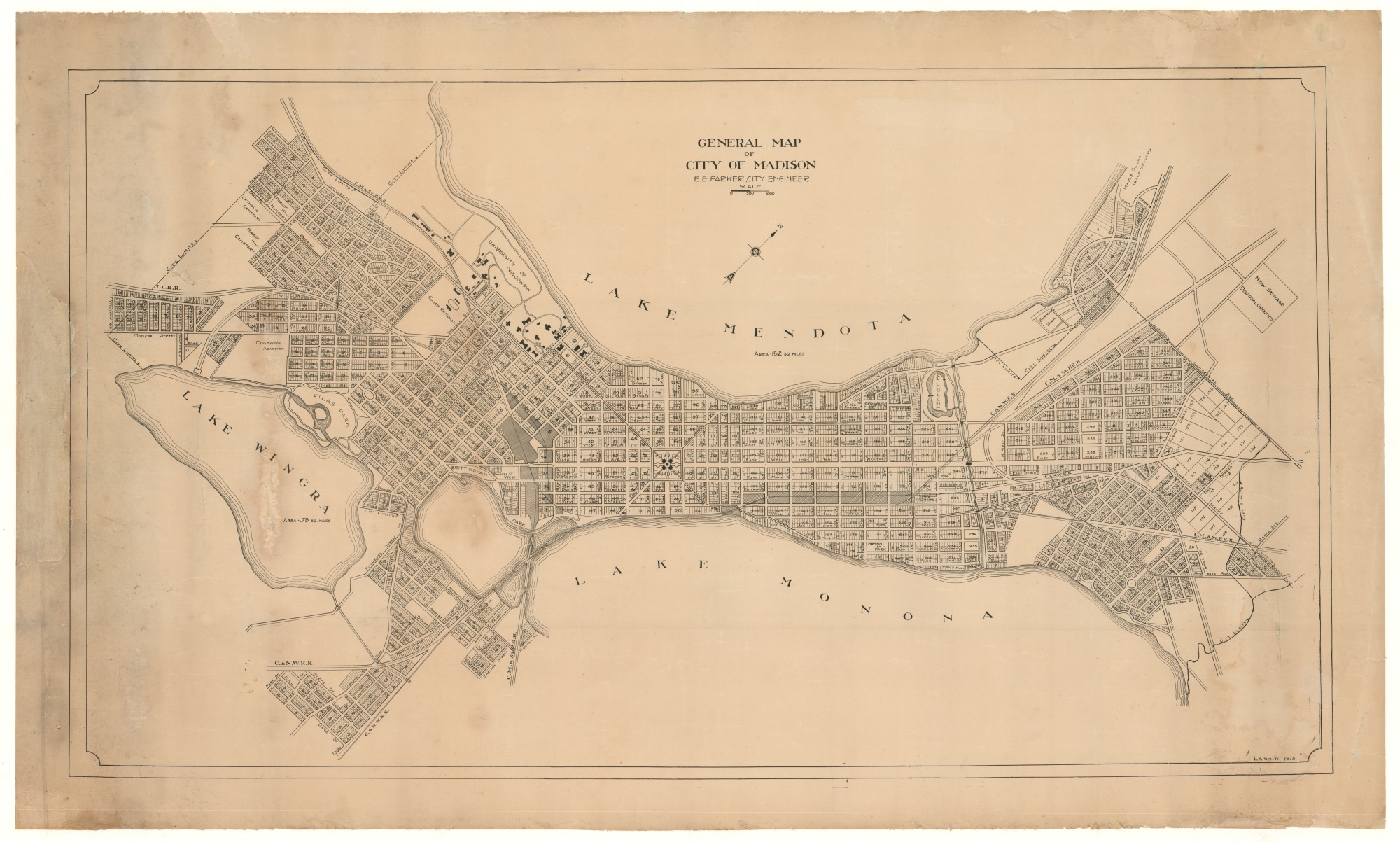
Massive city plan of Madison, Wisconsin published in 1913.
Out of stock
Description
This detailed street plan of Madison, Wisconsin was designed by city engineer E.E. Parker and drawn by L.A. Smith in 1913. The map shows the state capital during a period of relatively consistent growth and economic expansion since the end of the Civil War.
A remnant of the former conflict can be seen at Camp Randall, a training facility for the Union Army and future site of the University of Wisconsin football stadium. Other campus buildings are also noted on the shores of Lake Mendota, whose area is listed at 15.2 square miles. Other labeled details within the image include cemeteries, parks, railroads, and schools. The Capitol Building is also prominently shown, though it would not be completed until four years after publication.
The map is scarce, with the only other copy I’ve found located at the American Geographical Society Library. The Wisconsin Historical Society has a similar issue dating to 1914.
Map Details
Publication Date: 1913
Author: E.E. Parker
Sheet Width (in): 50
Sheet Height (in): 29.75
Condition: B+
Condition Description: Professionally cleaned, restored, and mounted on linen for preservation and stability. Moderate discoloration and wear along the outer edges and in several spots within the image. Most evident in the lower right corner and within Lake Wingra.
Out of stock